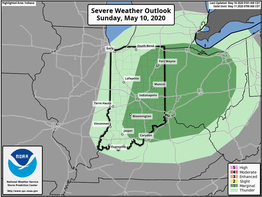
Weekly Highlights:
I. May ends and June opens with well below normal temperatures and humidity levels.
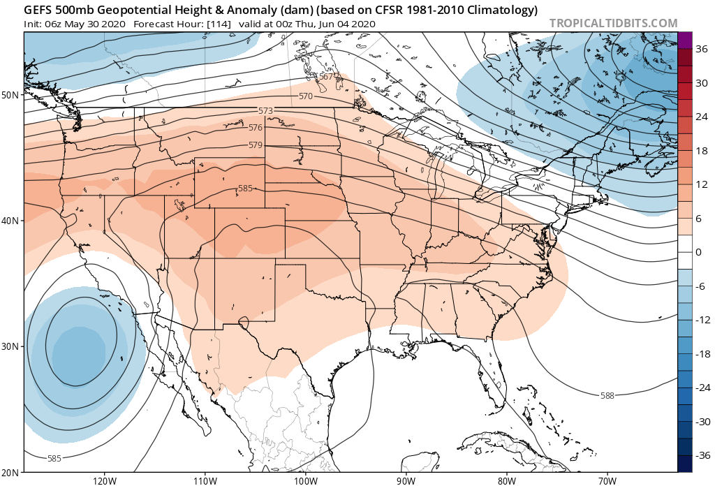
II. Summer pattern emerges during the 2nd half of next week, along with a return of hefty storms.
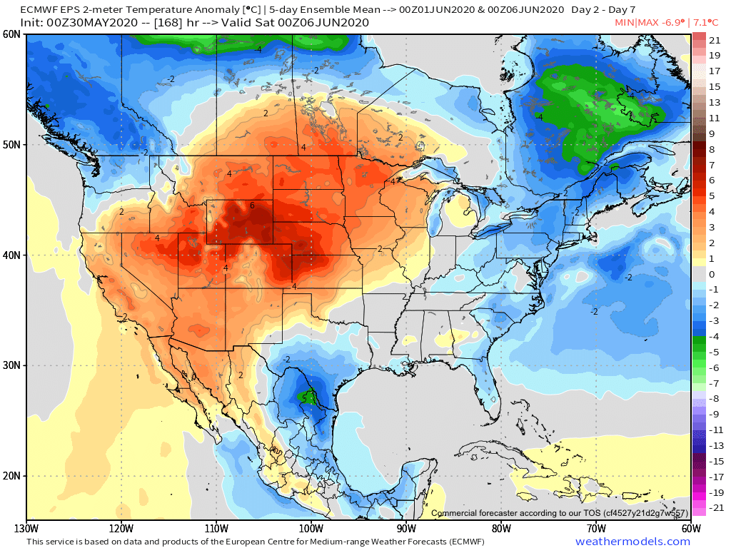
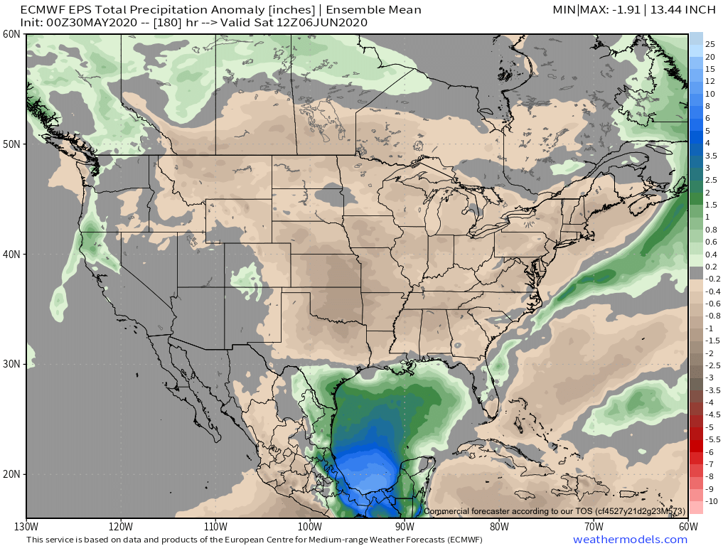
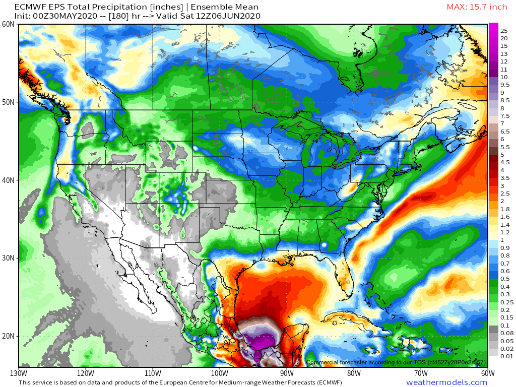
Forecast Period: 05.30.20 through 06.06.20
Cool, Canadian high pressure will dominate our weekend weather, continuing into early parts of next week. Enjoy the refreshing air while we have it as an upper ridge will expand east, providing a return of warm to hot and muggy weather by the 2nd half of the forecast period. This transition will also be met with the opportunity of “ridge riding” thunderstorm clusters into the Ohio Valley by mid to late week. These clusters will potentially deliver severe wind and heavy rain and the overall threat will certainly warrant our attention as we move through the next couple of days.