Weekly #AGwx And #Severe Weather Outlook…

I. Tracking (2) cold fronts this week

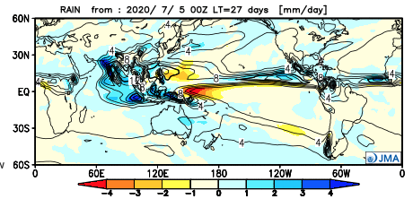
II. Tropics remain a topic for the foreseeable future.

Well below normal temperatures will descend into the central while the coasts maintain the heat.
Wetter than normal conditions are expected from the central Plains into the Southeast and western Gulf.
We forecast around 1″ of rain for immediate central Indiana through the forecast period (with locally heavier totals).
A few strong to severe storms are possible Monday PM as a cold front moves through the region.

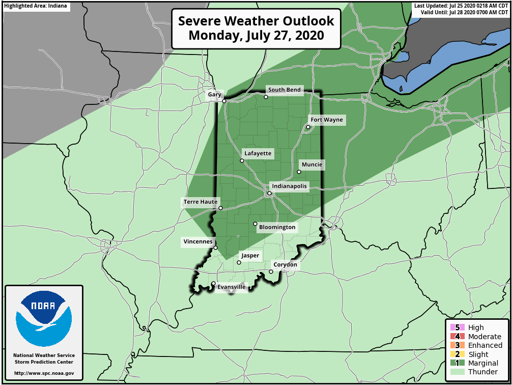
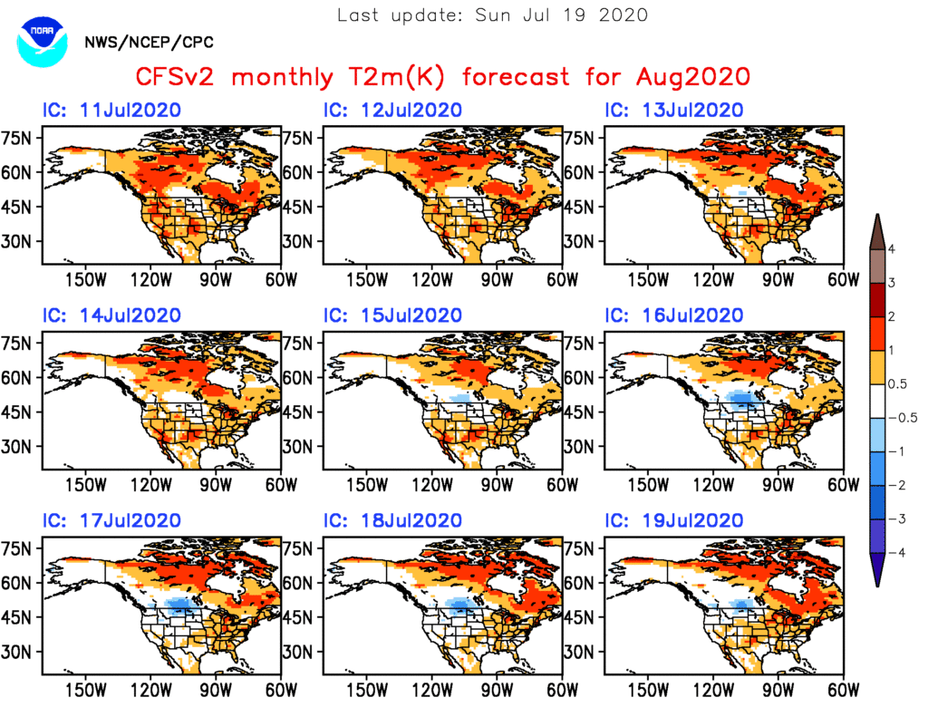
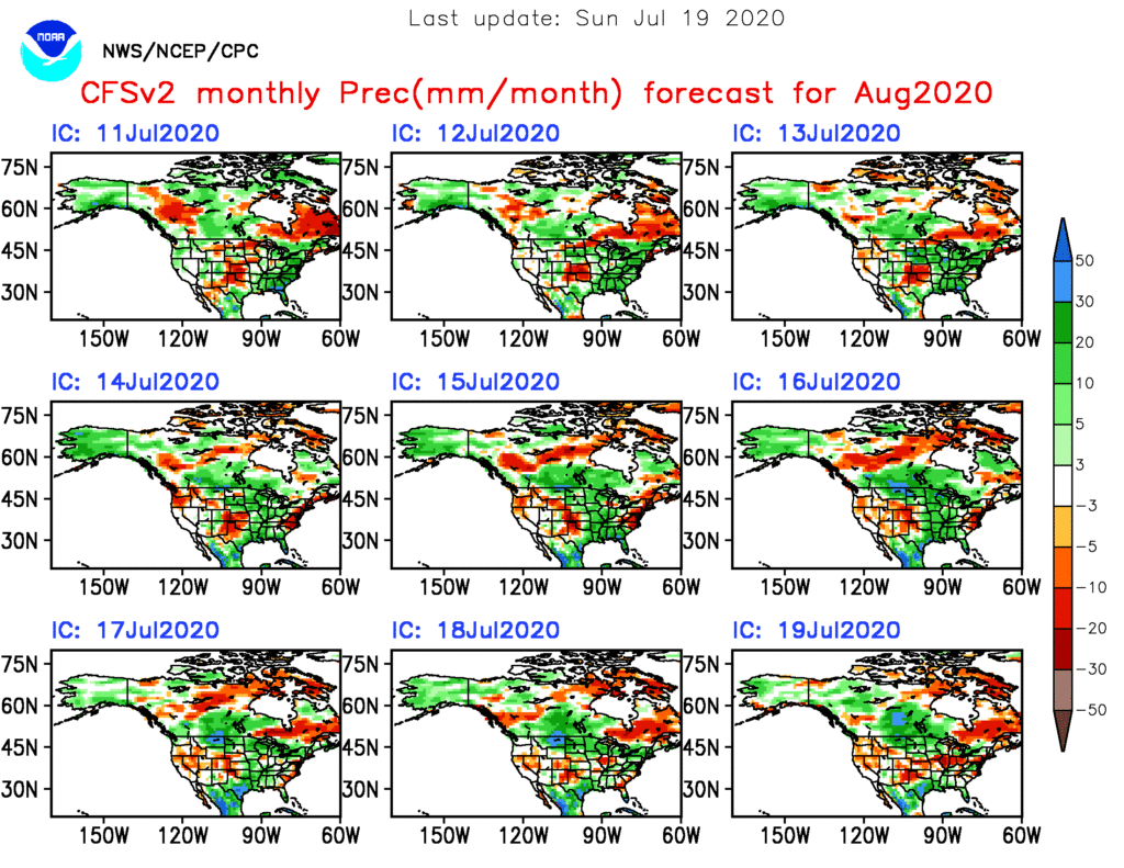
Forecast Period: 07.25.20 through 08.01.20

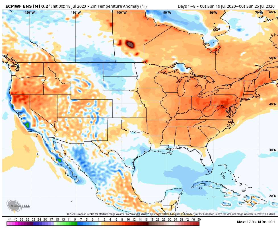
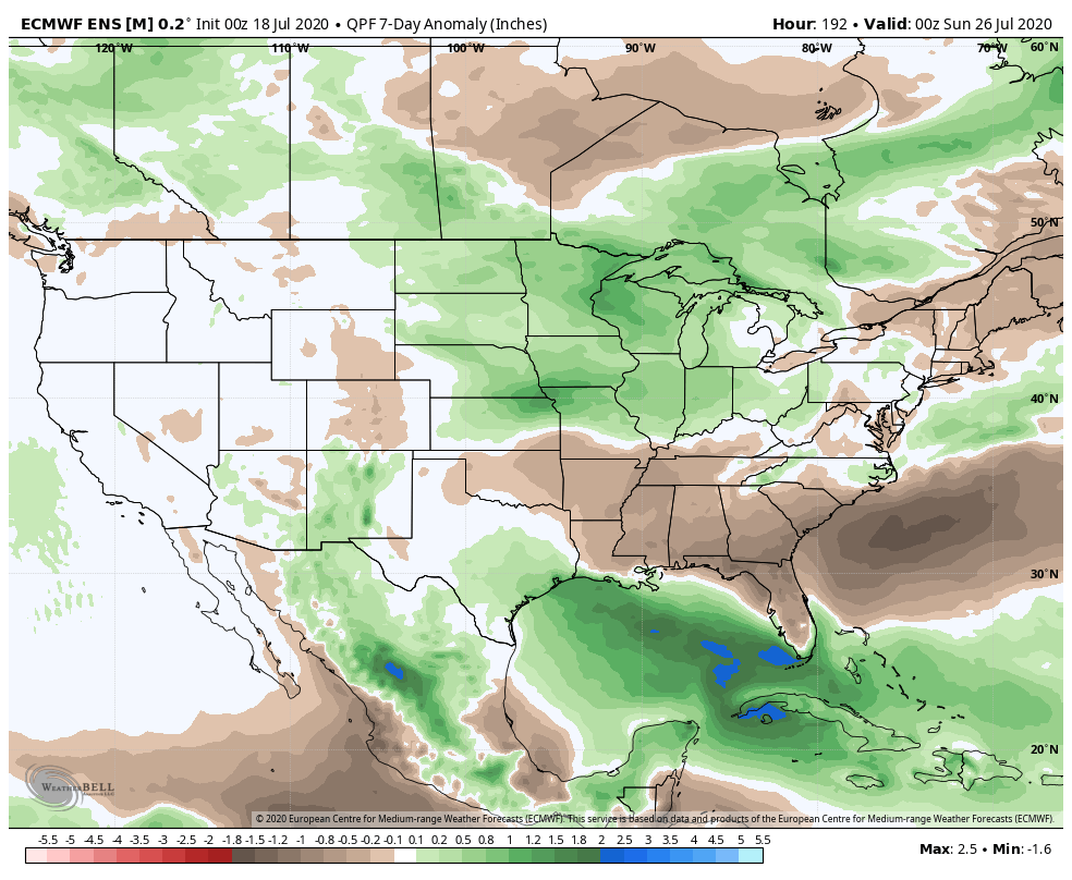
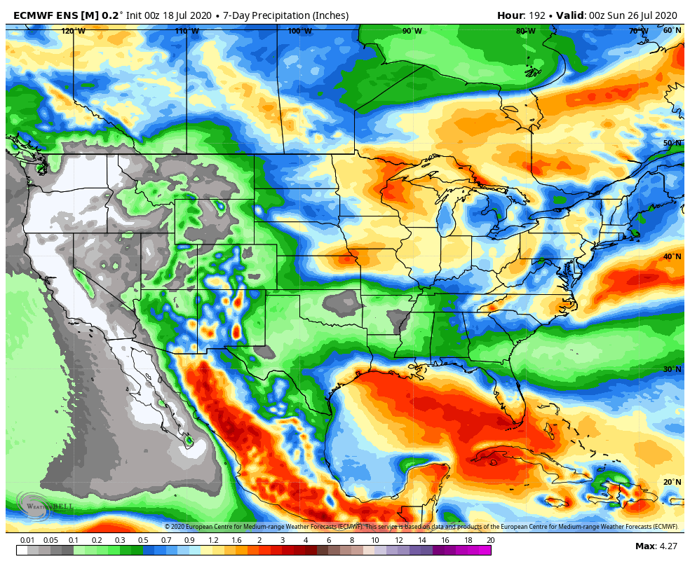
High pressure will remain in control of our short-term weather resulting in dry conditions prevailing for most through the weekend. As we move into the new work week, the 1st of (2) cold fronts will sweep through the state. Accordingly, rain chances will increase Monday, including the potential of a couple strong storms ahead of the cold front. The front will move through the region relatively quickly and we forecast dry (and cooler) conditions to return by Tuesday. The pattern gets much “murkier” by the middle to latter portions of the week as guidance continues to waffle on handling a second feature in what’ll be an anomalous pattern by late July-early August standards. While data struggles on handling the specifics, we’ll remain consistent with a more unsettled time of things by Thursday into Friday (and potentially next weekend based on how things play out). Stay tuned.

One additional note, the quick start to the tropical season is not without good reason. Unfortunately, all indications continue to point towards a hyperactive season (byproduct of favorable MJO and SST configuration). Next up will likely be a threat to the SE US coast (too early to say between the Gulf or Atl) just after Day 10.

More Thoughts On August…

The last month of meteorological summer is on our doorstep and while we’re still several days from having our finalized forecast built, here are some early ideas on where the pattern is going for August. First, let’s start with some modeling:

European

The Euro features the ‘mean’ ridge axis across the inner-mountain West with a northwesterly flow aloft into the Ohio Valley and eastern Lakes. Given the 500mb pattern, one would think the model would have the heat and wet areas shifted west to better correlate with the ridge placement, but that’s not the case. One item of note is that the model may be seeing tropical influences with the wet area across the Southeast and Mid Atlantic.

JMA

The JMA is similar with the handling of the 500mb pattern, but better aligns the temperature and precipitation pattern with this look at the upper levels. Brunt of the heat (relative to normal) is across the West with a wet Southeast and Ohio Valley.

CFSv2

While a bit chaotic with the precipitation idea, the CFSv2 seems to be locking the warmer anomalies into the Central and East for August.

As has been the case, the MJO will likely have a big say in the August pattern (and continuing into the fall and winter). Despite modeled attempts in the past to swing things into Phases 4-7, we’ve been stuck in the 8,1,2, and 3 cycles over the past several months, and in Phases 1-2 over the past 40 days.

The EPO and PNA are in warm phases and this looks to continue overall into early August.

The early lean with our August forecast will feature a large area of above normal temperatures, including across the Ohio Valley (slightly so), along with near average precipitation. We’ll continue to look through the data and present our official August Outlook week after next.

Weekly #AGwx And #Severe Weather Outlook…

I. New heat wave gets underway.

II. Keeping eyes to the sky for periods of gusty storms.

Temperatures will run above average across the eastern half of the country through the period.
Above average rainfall is expected from the Northern Plains into the western Great Lakes and Ohio Valley through the period. The Southeast will run drier than normal.
Specific to central Indiana, we expect 7-day rainfall numbers to be very close to 1″ with locally heavier amounts.
A threat of severe weather is present Sunday (damaging winds are the greatest concern).

Forecast Period: 07.18.20 through 07.25.20

A hot and humid stretch of weather will dominate the upcoming forecast period, including another multi-day stretch with highs in the lower 90s and lows in the lower 70s. The saving grace? Timely rains. After a mostly dry Saturday (only isolated storm coverage expected), more widespread storms are expected Sunday. Some of these could become strong to severe Sunday afternoon, including the threat of damaging winds as a complex moves south through the state. This unsettled theme will continue into the 1st half of the work week with each day offering up scattered showers and storms. Drier air will briefly nudge into the Ohio Valley Thursday and Friday before storm chances return next weekend.

Weekly #AGwx And #Severe Weather Outlook…

I. Heat and humidity builds as we move through the 2nd half of the week.

II. Pattern once again turns active and unsettled mid and late week.

Seasonable temperatures will rise to slightly above normal levels once to mid week, continuing into the weekend. As a whole, the period will run slightly above normal for central Indiana.
The 7-day period should feature above normal rainfall for central Indiana.
We forecast a total of 1″ to 2″ of rain for central Indiana between now and next Sunday with locally heavier totals.

Though the Storm Prediction Center doesn’t currently have a Day 4 severe weather risk highlighted, we need to keep close eyes on this feature for the potential of strong to severe thunderstorms late Wednesday. Large hail and damaging winds are of greatest concern.

Forecast Period: 07.12.20 through 07.19.20

Additional scattered showers and thunderstorms will fire today but shouldn’t be nearly as intense or widespread as what last night delivered. We’ll then welcome a couple of days of cooler, less humid air with dry conditions. Enjoy as the heat, humidity, and storms will return by midweek. In fact, as mentioned above, the potential is present for some stronger storms late Wednesday and it wouldn’t surprise us if the Storm Prediction Center includes portions of the region in a severe weather risk over the next day or two for this threat. This will come on the leading edge of hotter and more humid weather for the 2nd half of the week, continuing into next weekend. As we look longer range (Week 2 time frame), the upper level ridge is expected to retrograde west and open us up to a northwesterly flow aloft. There are strong signals this will lead to a rather busy time of things as we wrap up July, including above to well above average rainfall. Before this takes place, we’re likely looking at another 6-7 day stretch of highs in the lower 90s.