Weekly #AGwx And #Severe Weather Outlook…

I. Heat and humidity builds as we move through the 2nd half of the week.

II. Pattern once again turns active and unsettled mid and late week.

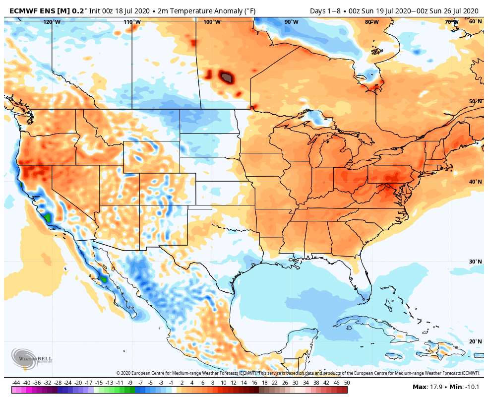
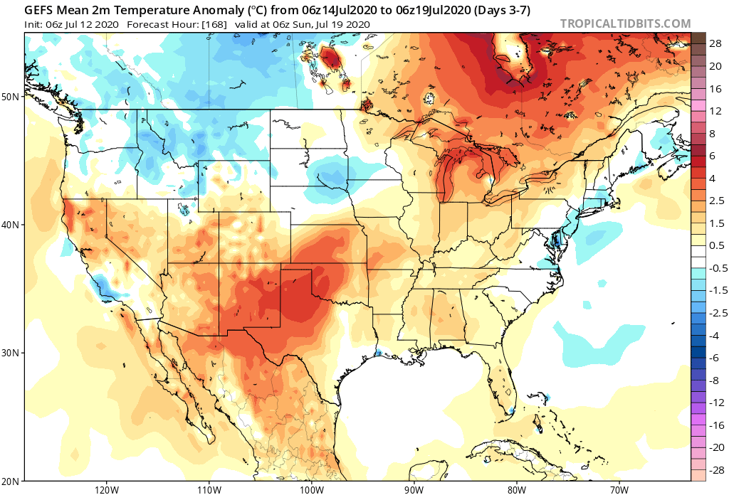
Seasonable temperatures will rise to slightly above normal levels once to mid week, continuing into the weekend. As a whole, the period will run slightly above normal for central Indiana.
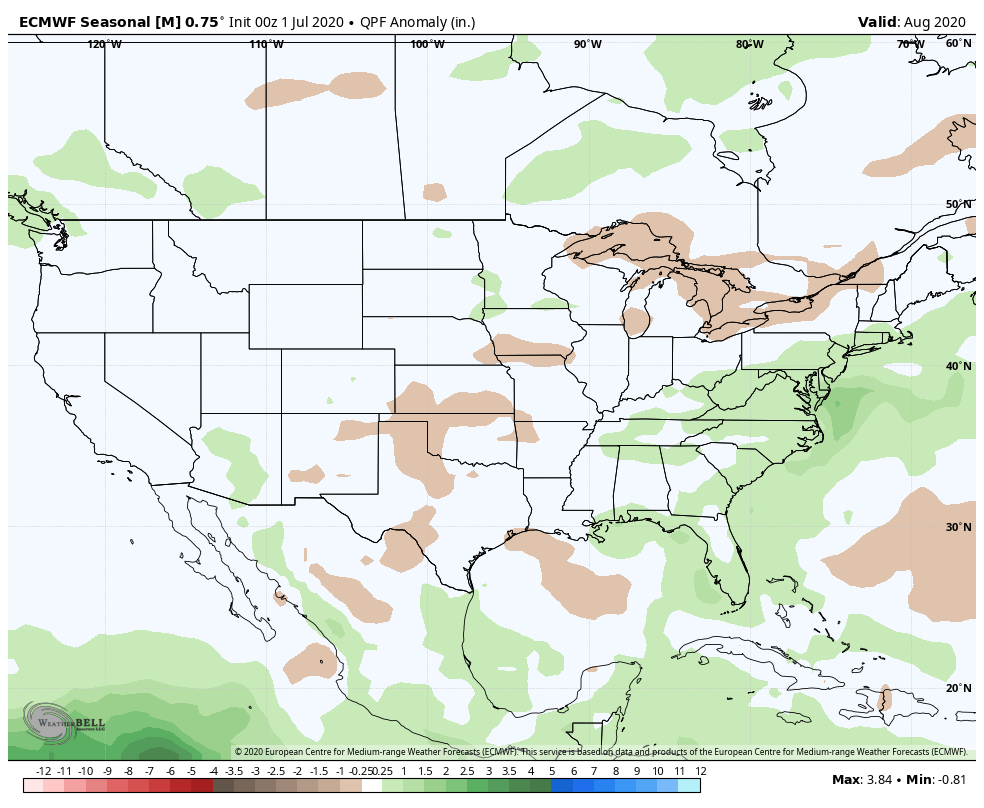
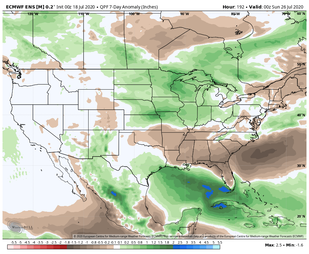
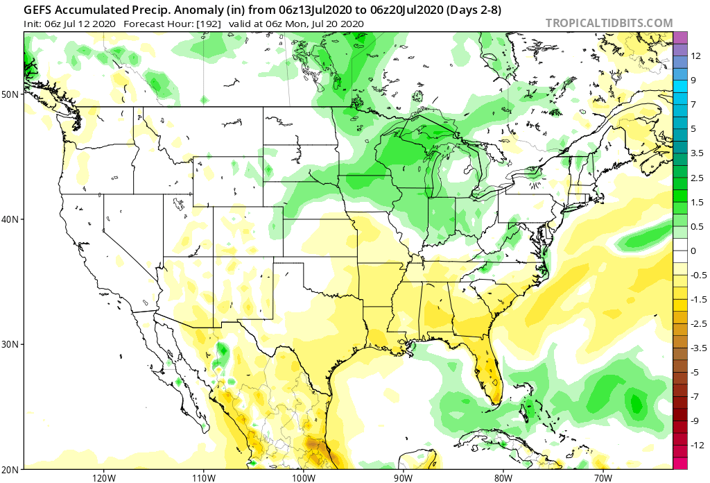
The 7-day period should feature above normal rainfall for central Indiana.
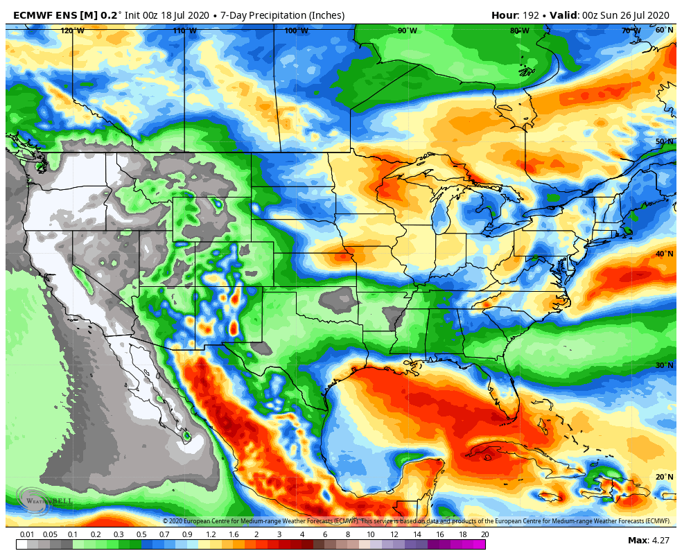
We forecast a total of 1″ to 2″ of rain for central Indiana between now and next Sunday with locally heavier totals.

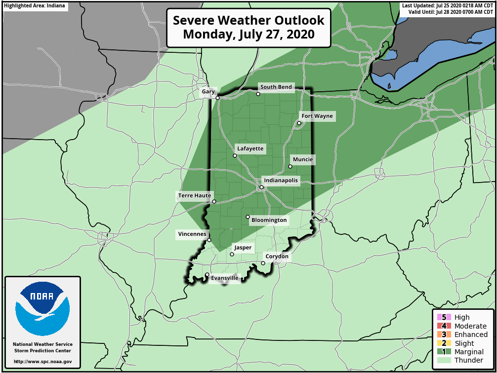
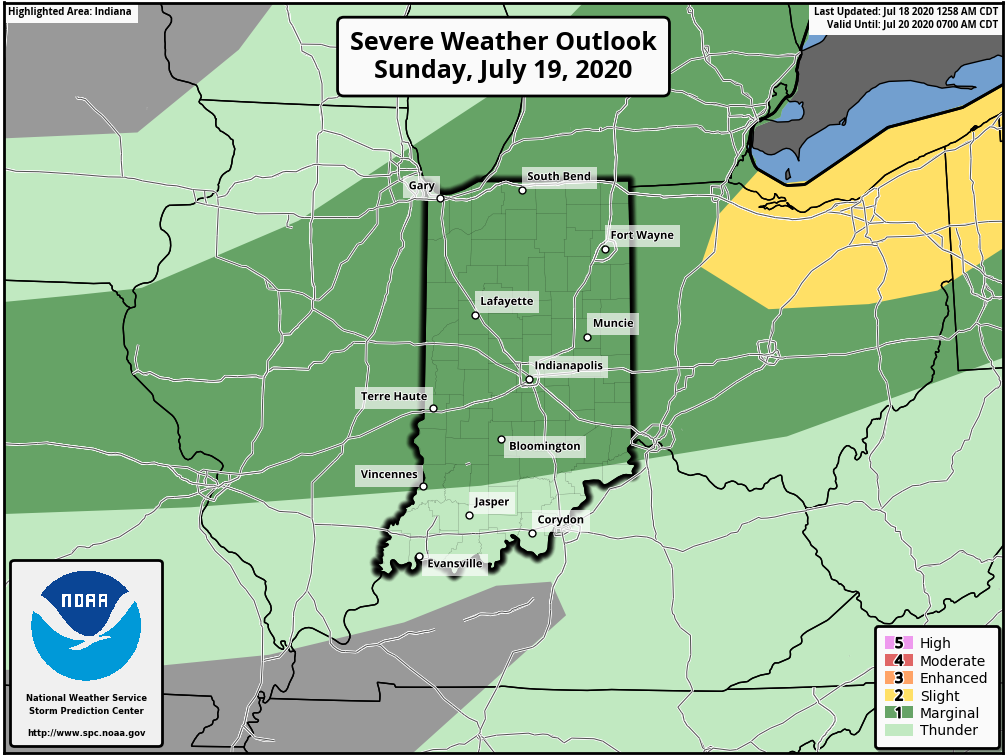
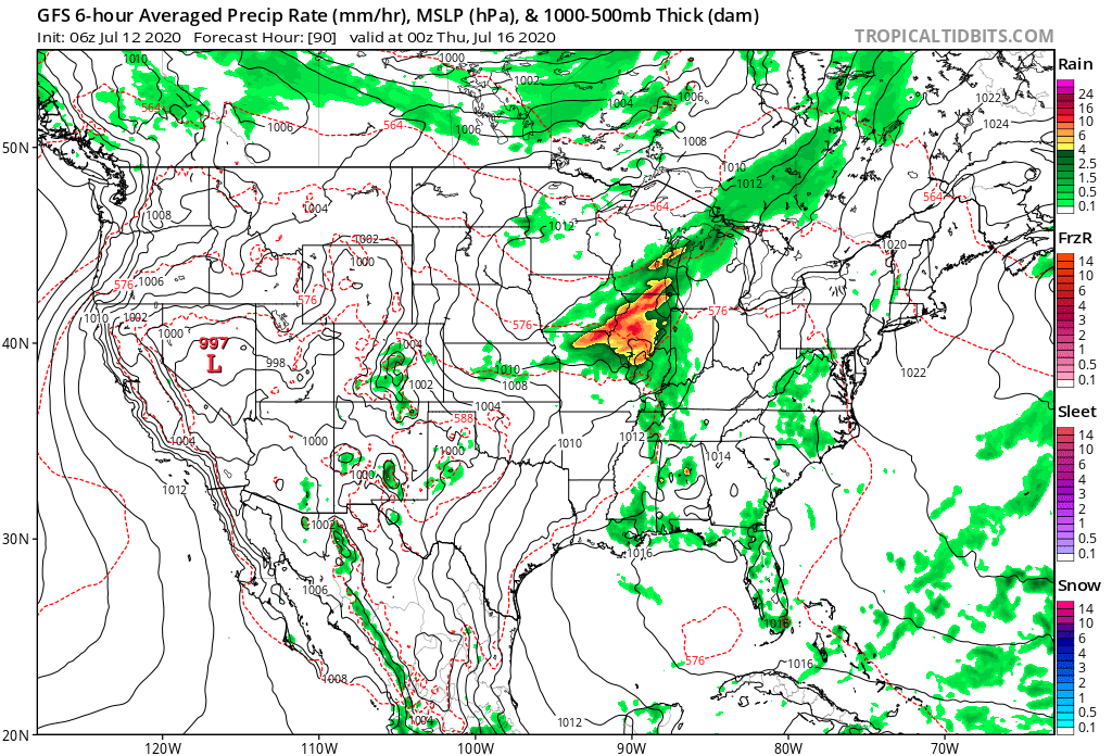
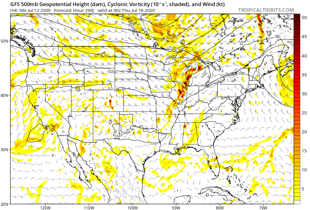
Though the Storm Prediction Center doesn’t currently have a Day 4 severe weather risk highlighted, we need to keep close eyes on this feature for the potential of strong to severe thunderstorms late Wednesday. Large hail and damaging winds are of greatest concern.

Forecast Period: 07.12.20 through 07.19.20

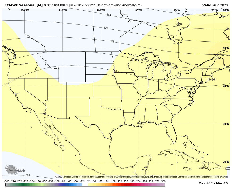
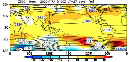
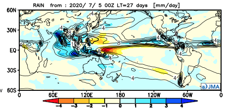
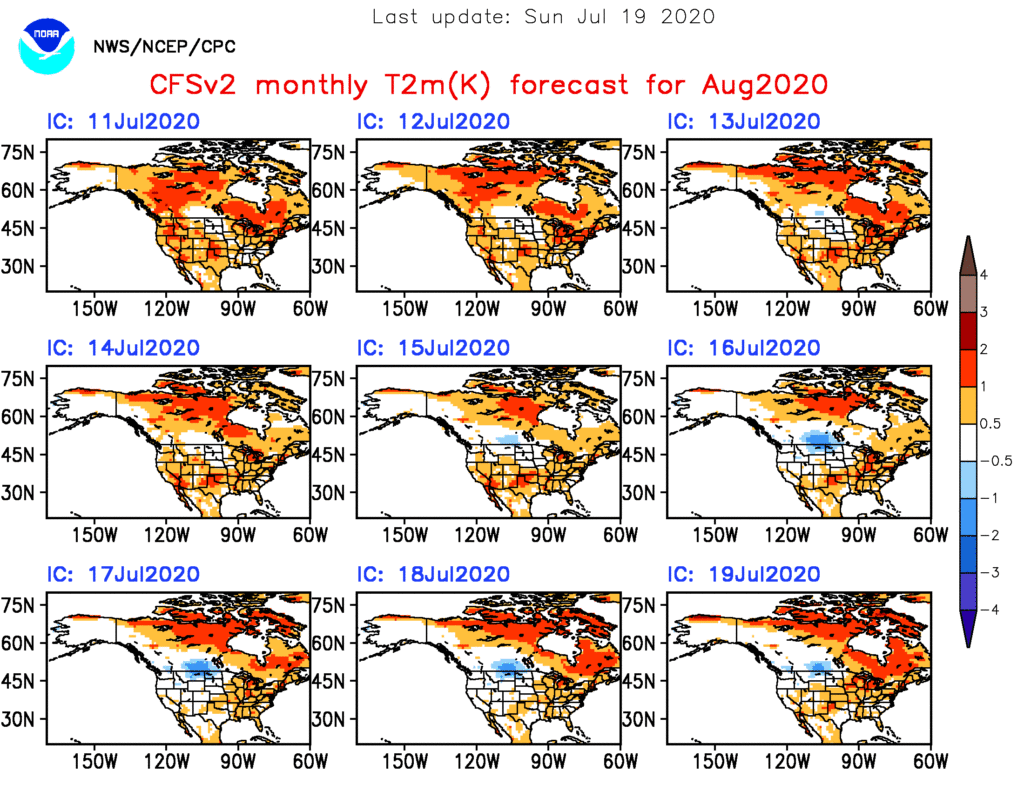
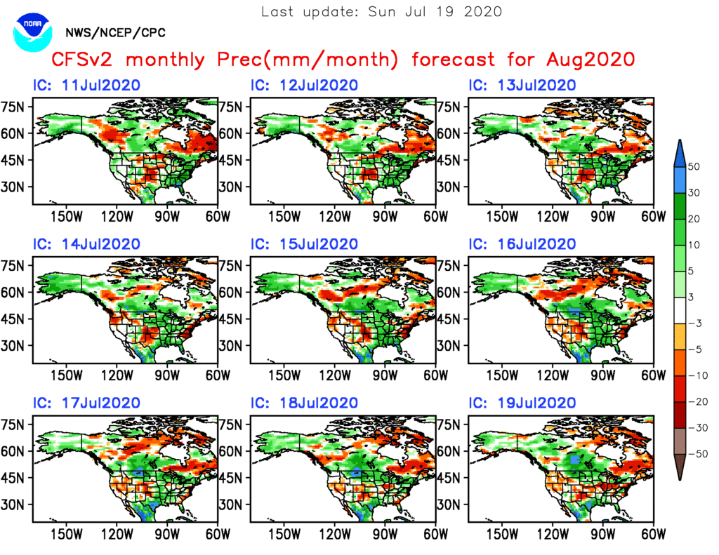
Additional scattered showers and thunderstorms will fire today but shouldn’t be nearly as intense or widespread as what last night delivered. We’ll then welcome a couple of days of cooler, less humid air with dry conditions. Enjoy as the heat, humidity, and storms will return by midweek. In fact, as mentioned above, the potential is present for some stronger storms late Wednesday and it wouldn’t surprise us if the Storm Prediction Center includes portions of the region in a severe weather risk over the next day or two for this threat. This will come on the leading edge of hotter and more humid weather for the 2nd half of the week, continuing into next weekend. As we look longer range (Week 2 time frame), the upper level ridge is expected to retrograde west and open us up to a northwesterly flow aloft. There are strong signals this will lead to a rather busy time of things as we wrap up July, including above to well above average rainfall. Before this takes place, we’re likely looking at another 6-7 day stretch of highs in the lower 90s.

July To-Date And Where We Think We’re Going The Rest Of The Month…

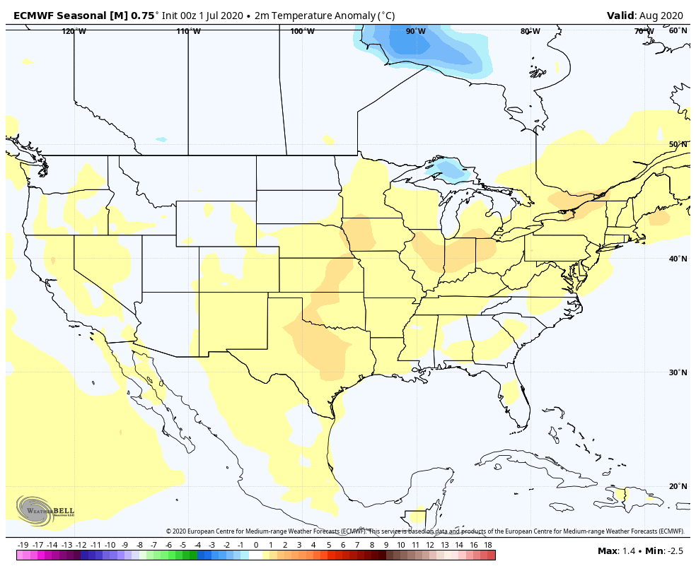
You don’t need us to tell you it’s been a hot month so far. Officially, IND is running 5.8° above average to open the month. At least compared to normal, even greater warm anomalies can be found across the upper Midwest and northern Great Lakes. Meanwhile, the West has been running exceptionally cool.

We’re actually running slightly above normal in the rainfall department (+0.17″) month-to-date at IND. As is typical this time of year, there are your usual “haves and have nots,” but the fact of the matter is that there have been many more neighborhoods that have seen beneficial rains vs. not over the past week.

The remainder of the work week will continue to feature “splash and dash” variety of storms, especially in the afternoon and evening. We believe better overall coverage of rain can be expected by late week and into the weekend. The culprit? The ‘mean’ upper ridge will retrograde southwest and a cold front and associated upper level energy will move southeast across the Ohio Valley. This will also deliver cooler, or “less hot” conditions. We’ll replace highs in the low-mid 90s with highs in the mid-upper 80s and lows in the lower to middle 60s.

A break in the heat is ahead this weekend into early next week.

Recent trends continue to suggest the core of the upper ridge will once again move northeast as we move into Week 2. While it doesn’t appear as if this will have staying power to the likes of what we’re currently seeing, we would anticipate an uptick in the heat/ humidity again in the Week 2 time period (more particular July 14th through 19th). Additionally, organized rain chances will once again transition to the splash and dash variety.

Thereafter, we believe the ridge will settle into the central Plains and it’s here that we expect hottest and driest weather to wrap up the month. The transitional regime continues over the next few weeks with periods of the heat pulling back followed by resurgence…

Weekly #AGwx And #Severe Weather Outlook…

I. Significant heat wave builds from the Plains into the Ohio Valley and Great Lakes.

II. Heavy tropical downpours fall across the Southeast as a surface low meanders around the region early in the period.

Significant heat will bake the central Plains into the Great Lakes and Ohio Valley this week. Meanwhile, chilly conditions will persist across the Northwest. The Southeast will run slightly cooler than normal.
A wet pattern will develop this week across the Southeast region. Wetter than normal conditions will continue across the Northern Plains, as well. Dry conditions can be expected across the OHV and Great Lakes.
Unless you find yourself under an isolated strong storm, most of central Indiana can only expect between 0.10″ and 0.25″ of rain over the 7-day period.
Quiet conditions can be expected, locally, with respect to severe potential. That will be another story entirely across the Northern Plains over the next few days, however.

Forecast Period: 07.04.20 through 07.11.20

A relatively quiet period of weather can be expected across not only central Indiana, but all of the Ohio Valley over the upcoming 7-days as a strong ridge of high pressure dominates our region. This will lead to a significant and prolonged period of hot and increasingly humid conditions, including a consecutive stretch of 90° + highs to the likes of which we haven’t seen since the infamous summer of 2012. If planning time outdoors, build in frequent breaks. Overall dry conditions are also expected this week. The exception to this will be the opportunity of widely scattered storms developing in the prime heating hours (afternoon and evening each day). Count yourself lucky if you get under one of these storms. Unfortunately, some neighborhoods may go the entire week without a drop of rain.

Have a safe and happy Independence Day weekend, friends!