6-10 Day Outlook: Significant Winter Event Looms…

The 6-10 day period will likely be dominated by an air mass of arctic origin, and the potential is present for the period to begin with a rather significant winter event.  Models have occasionally “teased” the idea of dropping the PV (Polar Vortex) over the Great Lakes during this period, and that’s not something that’s off the table given the pattern here.  Suffice it to say, we expect this period to run much colder than average.

While there will be some specifics we’ll have to sort through as time gets closer, this is remarkable model agreement when looking at the GFS and European ensemble sets in the medium term.

We’ve been discussing the opportunity where we see the flow slow enough to allow one or two of these clipper systems in the medium to longer range to deepen into a stronger storm system.  That may be the case late weekend into early parts of next week and it’s something we’re keeping a close eye on.  In addition to measurable snow, the potential is on the table for notable cold in the 6-10 day period, including multiple days below zero.  In the extreme, this is the type pattern that could lead to double digit below zero  cold across central Indiana- not including the wind chill.

Stay tuned.

Looking at the Holiday Week and Ahead to January…

Tomorrow will be a rather uneventful weather day across central Indiana, but things will begin to change as we head into Thursday.

An area of low pressure will track out of the central Plains into the Great Lakes by Friday. The end result will be increasing coverage of showers Thursday afternoon and perhaps even a rumble of thunder Thursday evening.

Most of the concentrated rain should come to an end around dark Thursday. By that time we forecast a general 1/2″ to 1″ to fall in area rain gauges.

More seasonable air will blow in here behind the storm system and we’ll have to keep an eye on energy “attacking” from behind over the weekend. With colder weather in place, snow is possible next weekend.

Looking ahead, a combination of ingredients appears to be coming together to create a rather significant transition in the pattern as we head into January. Note the developing positive PNA…

This will result in more sustained below normal temperatures making a return early January to our neck of the woods…

Additionally, it also appears an active storm track will continue. While impossible to say this far in advance, prospects for above average snowfall (average is 8.6″) appear likely through the month of January.

Medium Range Notes: Cooler, More Active Times Dominate…

As part of some exciting and significant enhancements that we’re looking forward to announcing later this fall, we’re going to be including more content that’s typically only been going out to private clients.  Some of that content includes our ‘medium range notes’ that go out each evening, included in the sample below.

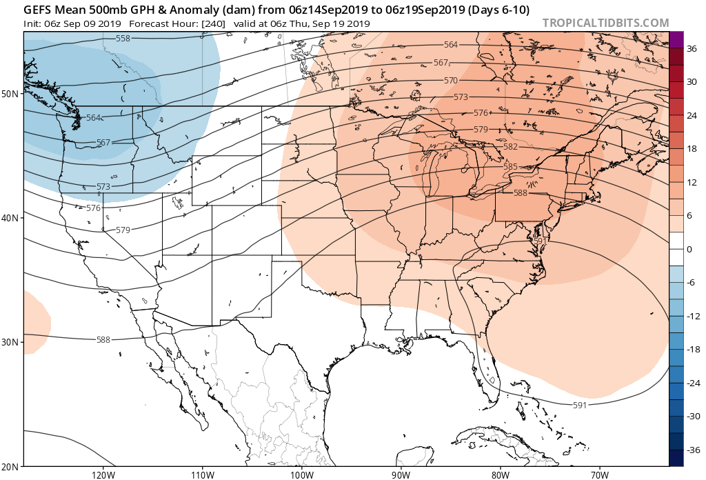
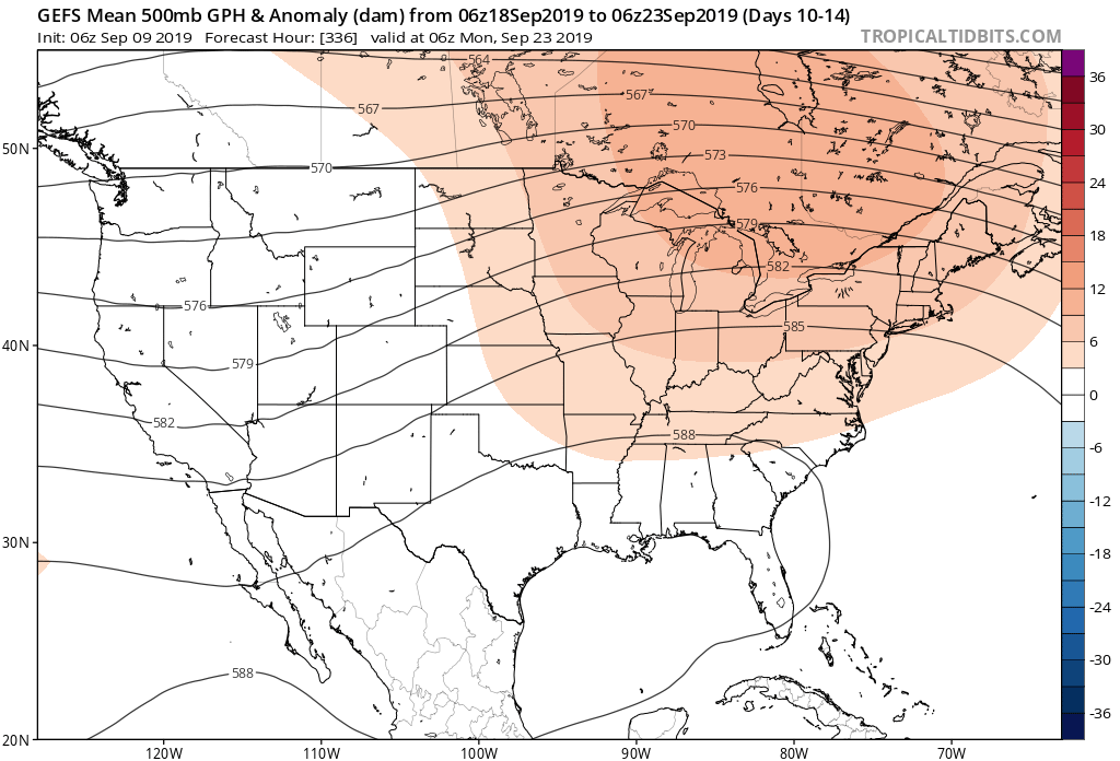
As we look at the medium range period, or the 6-10 day time frame, the pattern flip to a cooler and more active regime is clear.  Both the respective GFS and European ensemble members (below) see the significant changes that will be with us as we put a wrap on July and look ahead to welcoming August.  Note the upper ridge retrograding west.

Image source: Tropicaltidbits.com

Not only will this help drive a significantly cooler pattern, but a wetter one to boot.  We note data reflecting wetter than average times returning for the upper Mid West, Great Lakes, and Ohio Valley during the upcoming 6-10 day period.  It appears as if much-needed moisture will be returning to central Indiana.

Image source: Tropicaltidbits.com

Also note the dramatic flip to cooler times.

Image source: Tropicaltidbits.com

Storms Of Significance:

Of note during the period, we’re targeting a storm system that will likely deliver unsettled weather to central Indiana over the upcoming weekend, continuing into the Days 6-7 time period.  This is followed by another storm system that will deliver unsettled conditions Days 9-10, including reinforcing cooler than average temperatures.

As always, IndyWx.com features daily blog and video updates that include details around the short-term period.

Forecaster: BM

More Unsettled Weekend Ahead And Closing Out May…

An upper level low pressure system will track northeast today into tonight, and as it does, look for more numerous showers and embedded thunder to develop.  Some localized heavier downpours are a good bet this evening across central Indiana.

Otherwise, look for considerable cloudiness and highs topping out in the lower 70s today.

While we’ll have to contend with a few showers Saturday, overall, the day should be drier compared to today and what lies ahead Sunday.  Speaking of Sunday, we’re monitoring the potential of a couple of storms reaching strong to severe levels to close the weekend.  The Storm Prediction Center includes central portions of the state in a “marginal” risk of severe with their update Friday morning.  It wouldn’t surprise us if a portion of the marginal risk is upgraded to a “slight” risk in future updates.  We’ll fine tune storm timing over the next 24 hours.

As we look ahead to the end of May, there really aren’t any significant changes to the overall warmer than normal theme we’ve enjoyed so far this month.  Longer range guidance off of the European ensemble continues to support broad scale upper ridging across the Mid West and Ohio Valley and a corresponding warmer than average regime.  From a precipitation perspective, the next couple of weeks do look more active compared to the dry start to the month.  Case in point, the balance of the upcoming week will be dominated by a stalled frontal boundary.  While we’ll have to fine tune exactly where the front stalls, daily chances of showers and thunderstorms (scattered fashion) can be expected.