Weekly #AGwx And Severe Weather Outlook: Tracking 2 Cold Fronts This Week…
Updated 05.30.22 @ 8a
With the official “unofficial” 🙂 start to summer upon us, it’s time we start to once again produce our weekly #AGwx reports. Each week, these updates will focus on the overall temperature and precipitation pattern over the upcoming 7-10 days, along with bigger severe weather or tropical items of note when needed.
Forecast Period: 05.30.22 through 06.09.22
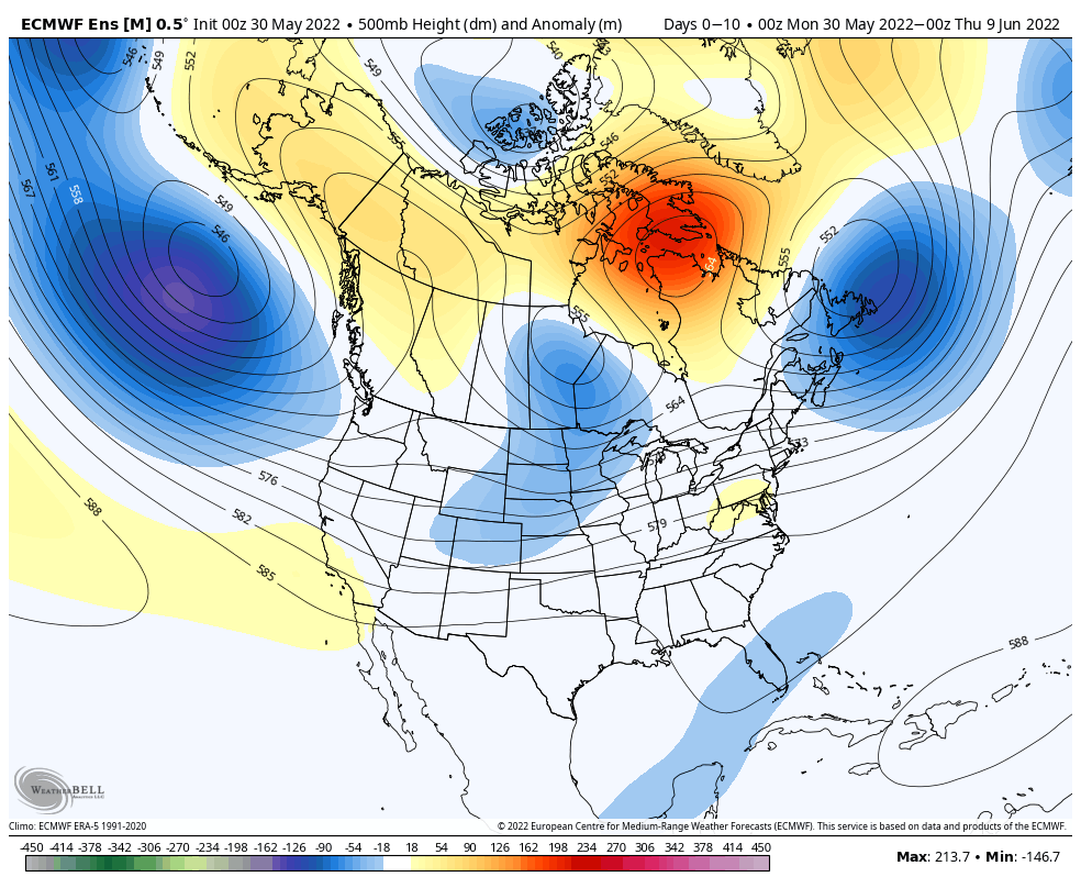
Our weather pattern will start off very quiet as high pressure continues to dominate. We’ll notice a bump in humidity values daily leading up to a frontal passage Wednesday night and early Thursday morning. This front will deliver scattered to numerous showers and thunderstorms across the Mid West and Ohio Valley Wednesday. While there could be a couple of stronger storms, the severe aspect of this system is expected to be greatly diminished when compared to what our neighbors in the northern Plains and upper Mid West will see over the next couple of days.
The frontal system will pass through rather quickly and we’ll get back to a much less humid, cooler airmass Thursday, continuing into the first half of the weekend. That’s when we’ll begin to track system #2 with eyes on our immediate area Sunday. Widespread showers and thunderstorms are expected for the 2nd half of the weekend, but it won’t rain the entire time. This will likely set the stage for a more active period to close out the 10 day as a persistent southwesterly air flow dominates.
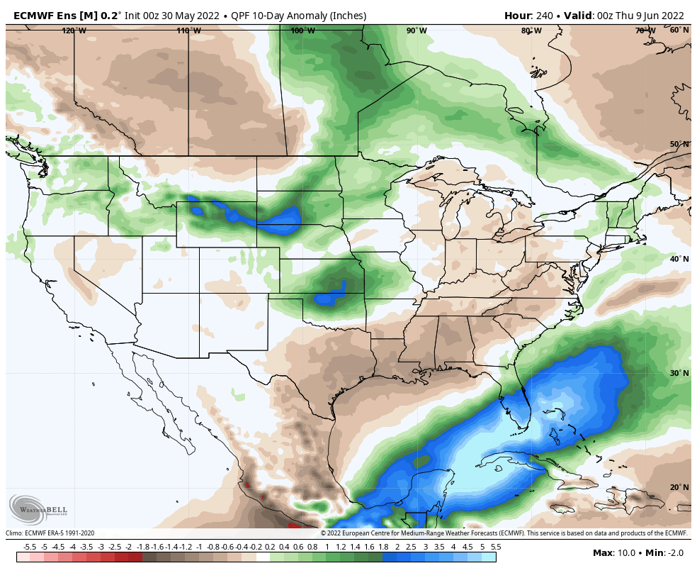
10-day Rainfall Forecast: 1.5″ to 2.5″