Updated 10.30.23 @ 5:36p
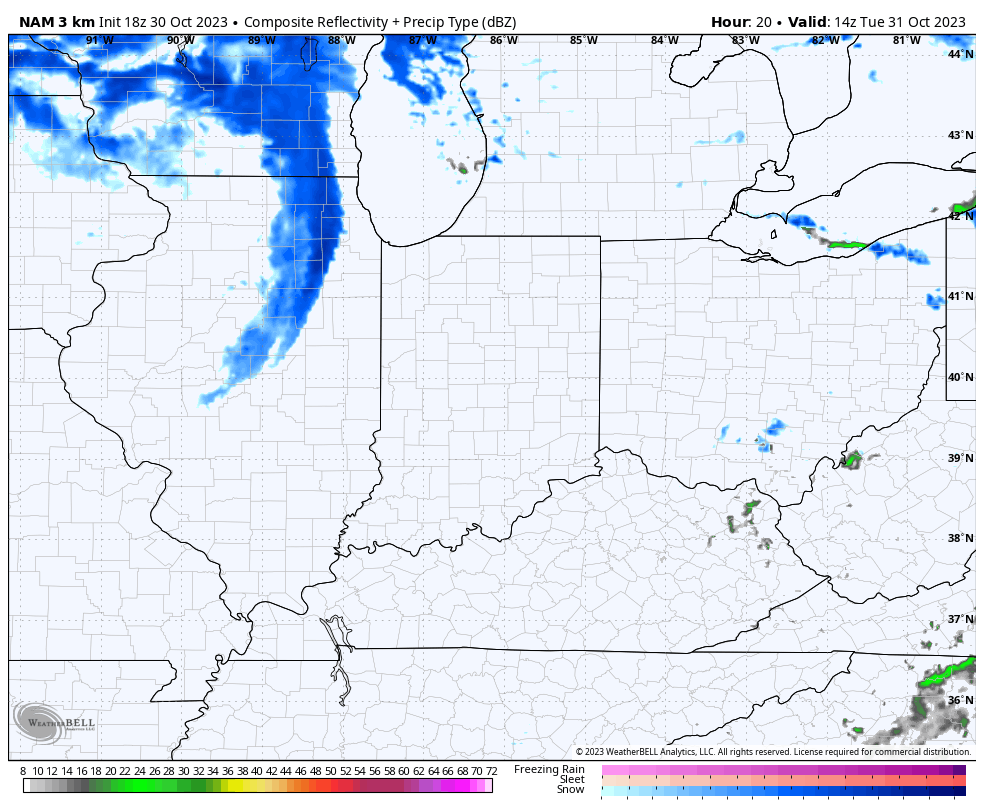
I. Vigorous upper level energy will dive southeast and impact our Halloween weather. Many will see their 1st snowflakes of the season (at least those who didn’t today) tomorrow afternoon and into the evening. This is the type setup that will lead to localized heavier squalls within the broader area of snow showers and I imagine this will carry deep into Tuesday night- longer than what most high resolution guidance currently suggests.
II. Cold and wind will also make for bitter conditions by Halloween standards. Trock or treaters will certainly need the layers under those costumes tomorrow night as wind chills fall into the 10s at times. Gusts up to 30-40 MPH will also create for “spooky” conditions at times.

III. New long range, “seasonal” data continues to suggest we’re heading for a Modoki Nino event. If this does, indeed, verify then we’ll look for colder and potentially snowier trends to take hold (certainly compared to a “traditional” Nino event) towards late December and on into the middle of winter. To no surprise, this should also play into some other drivers that suggest we should see more in the way of high latitude blocking periods this winter, compared to the past few. Stay tuned.
Leave a Reply