
Updated 10.18.23 @ 6:17a
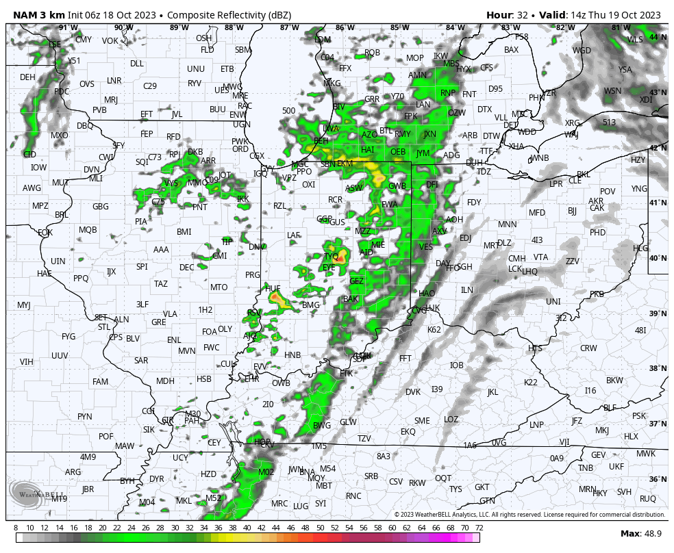
Today will start on the seasonally cool side with plentiful sunshine. We’ll note an increase in mud and high level clouds this afternoon that will eventually lower and thicken tonight. These clouds will signal rain by Thursday morning, and perhaps embedded thunder. The culprit? A cold front. This front will move through the state during the day Thursday.
Additional showers will follow Friday morning thanks to trailing upper level energy.

Most area rain gauges should expect to accumulate between 0.10” and 0.30” during the aforementioned time period but there will be some 0.50”+ exceptions.

Seasonally chilly air will flow in behind this system for the weekend. As high pressure settles overhead, the coldest night upcoming should be Sunday night/ Monday morning where widespread frost is expected across central Indiana. Most will wake up to temperatures between 33° and 35°.