Updated 10.21.23 @ 7:34a
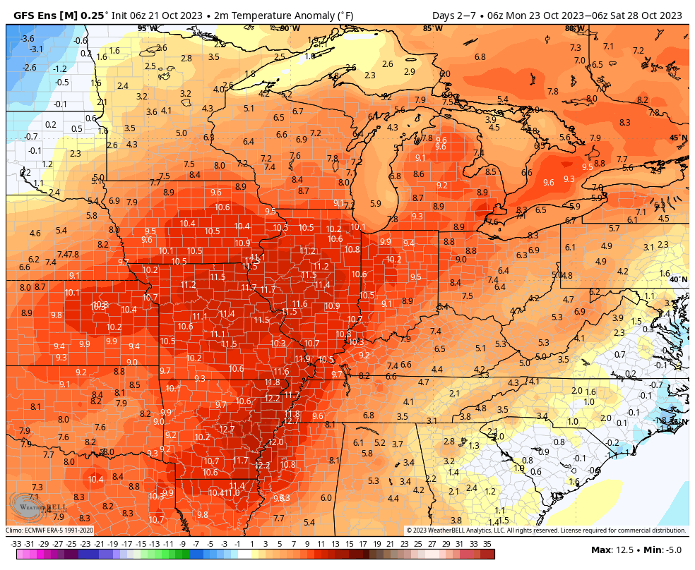
The upcoming week will feature a pattern shift, albeit a transitional one, that will drive unseasonably warm temperatures north into the Ohio Valley and Great Lakes region. This will be on the heels of the first widespread frost of the season Monday morning. Ah, Indian summer at its finest.


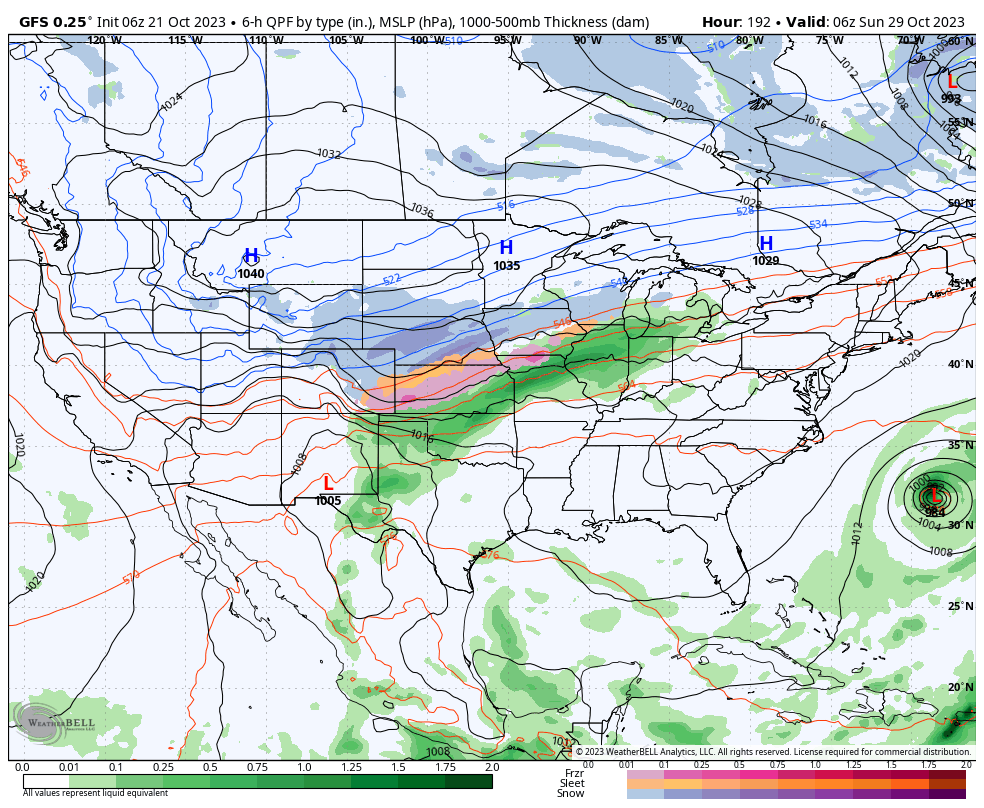
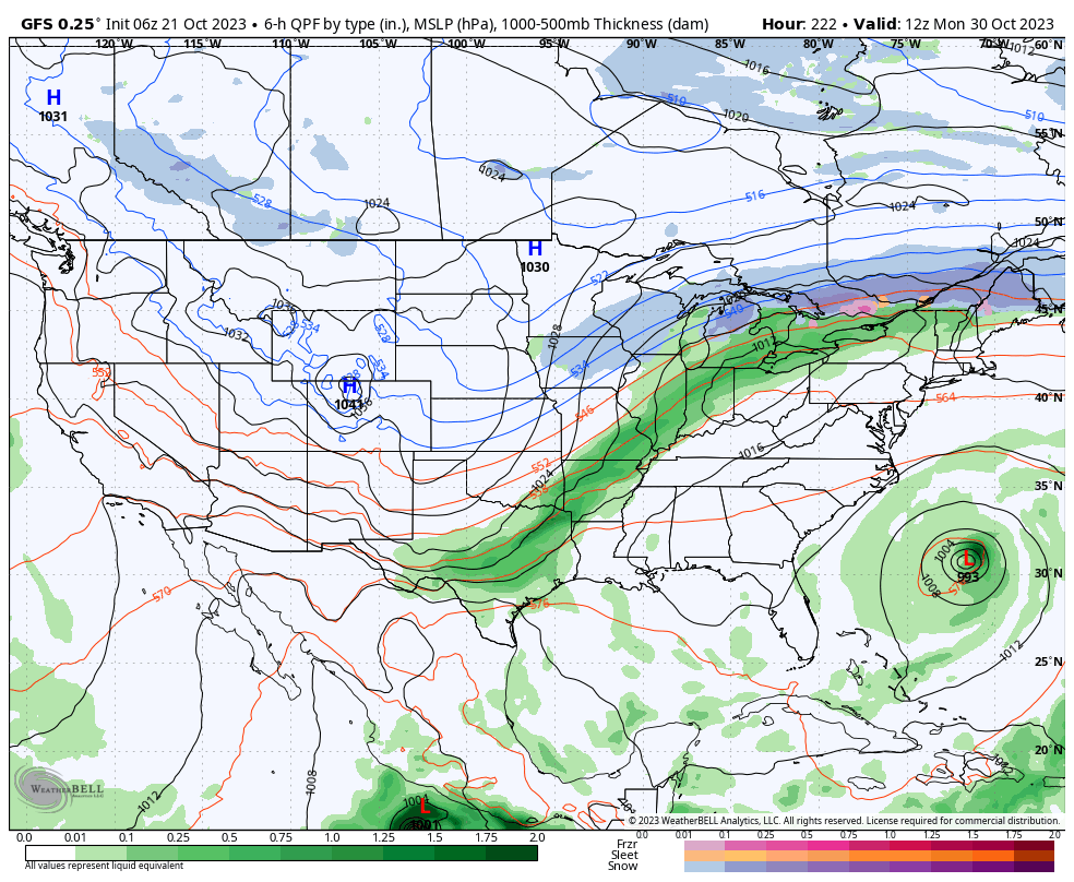
A couple of disturbances will try to make inroads into this ridge mid and late week, but will likely struggle in providing much in the way of precipitation or cooler air initially. As we push into the latter part of next week and the Halloween weekend, a larger storm system is anticipated to move east out of the Plains region. This storm will likely deliver the first widespread winter impacts (outside of the mountains of course) of the fall season.

Specifics will be fine tuned as we get closer, but we expect a widespread rain (perhaps a clap of thunder) here next weekend followed by sharply colder weather prior to Halloween, itself.

We’re left with a much different pattern to open November. This is the type regime that will likely lead to the first lake effect snow in the snow belt, drive the 1st widespread freeze into the Ohio Valley, and result in highs in the 40s in the wake of the frontal passage.


Farmers and those with ag interests, we’d suggest wrapping up harvest 23 efforts by mid next week if at all possible. Conditions will certainly become harsher and less favorable by next weekend. More to come…
