Updated 09.23.23 @ 7:50a
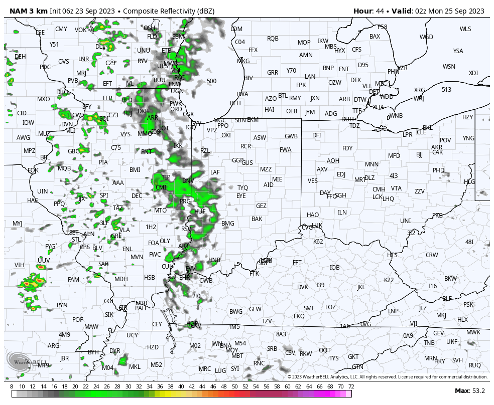
Dry conditions will prevail through 99.9% of the weekend and for most, 100% of the time. A few very light showers may sneak into western counties Sunday night, but light is the key word. With such a dry airmass in place, most of this activity is expected to arrive in a weakening state.
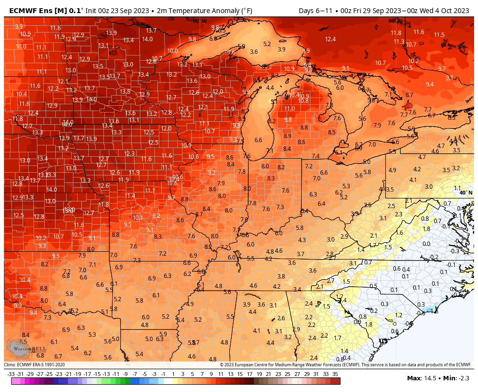
The temperature pattern is “easy peasy” this week as unseasonably mild temperatures dominate. An extended stretch of highs around 80° can be expected in the week ahead.
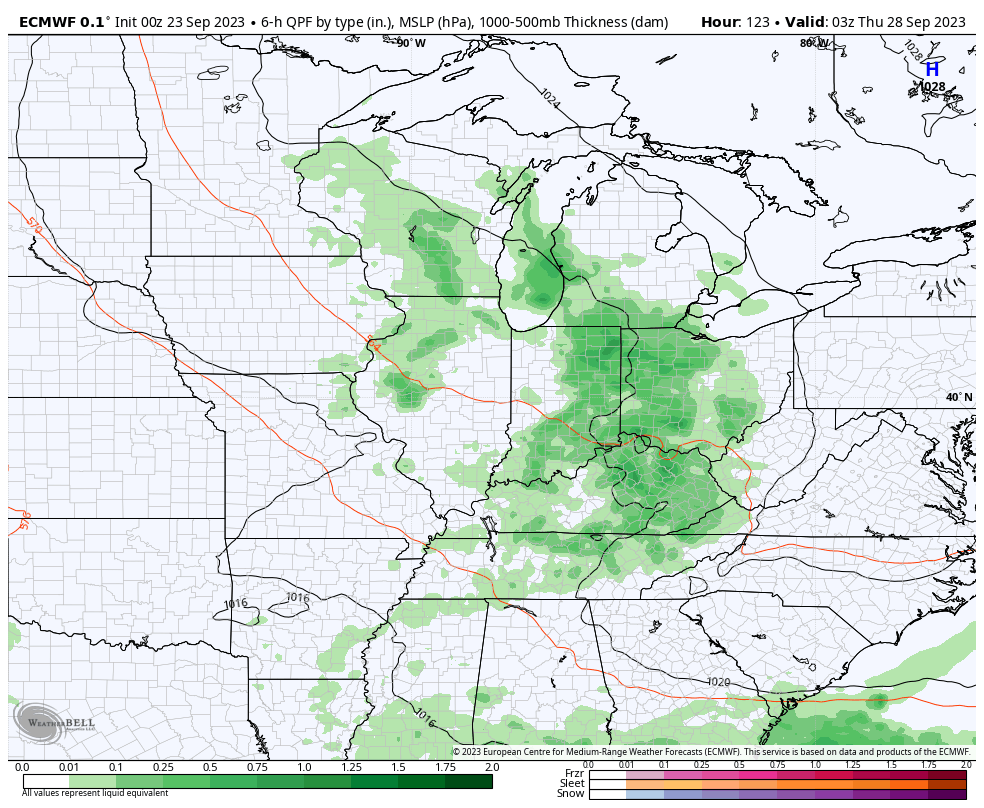
An upper low will pivot out of the Mid West and through the Ohio Valley midweek. This will deliver more in the way of unsettled weather for our neck of the woods, but we’re still not overly excited about rain chances.

Scattered showers will build into the picture Wednesday and Thursday, courtesy of the aforementioned upper low pressure system. From this distance, rainfall totals are expected to be light (mostly in the 0.10″ to 0.25″ range) and certainly not uniform in nature.
As we head into next weekend and the beginning of October (can you believe it?!), the ridge will expand overhead and lead to a return of quiet and milder times.

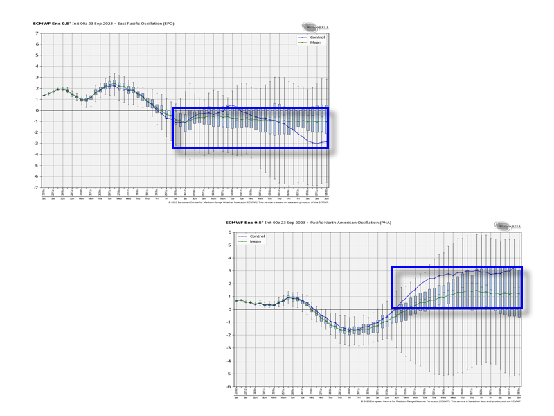
Down the road, as mentioned in this week’s long range report, I still would be very suspicious of the warm paint blob shown on most modeling towards mid-October. The thinking here is the negative EPO and positive PNA will begin to do work, leading to a fairly sizable shift in the ‘mean’ pattern…