Updated 09.07.23 @ 7:15a
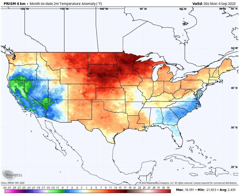
September has opened significantly warmer than normal across the northern Plains and to a lesser extent into the southern Plains and along the northern tier. Indianapolis is running 5° above average through the 6th. We’ll chip away some at those toasty anomalies over the course of the next week, but still anticipate the month finishing slightly warmer than normal as a whole. We’re also running dry- more than half an inch below normal to open the month.
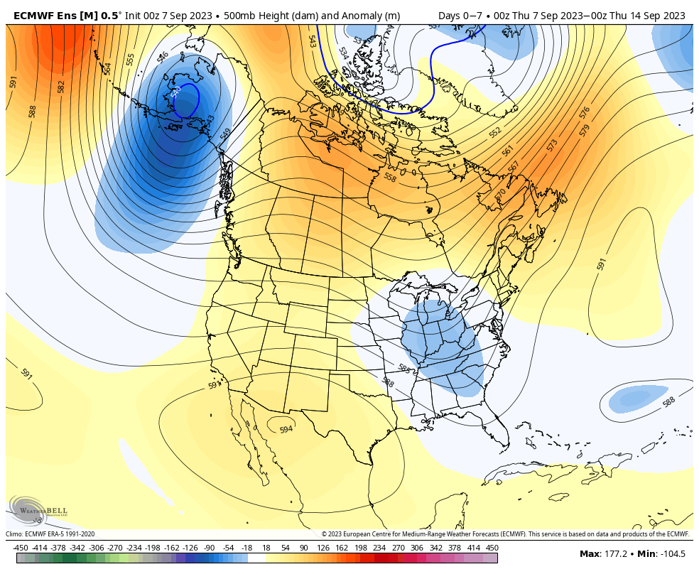
As we look ahead to the upcoming couple of weeks, the combination of the Madden Julian Oscillation sneaking into Phase 4, combined with a strongly positive PNA should help lead to more of a trough across the eastern portion of the country.
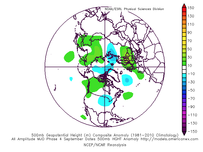

The NEW JMA Weeklies show that trough and associated cooler pattern (not cold by any means, but instead slightly below normal overall) taking up shop in the Week 1 and Week 2 time period below.


The latest ensemble guidance is also on board with the more seasonal look, especially compared to how the month opened.


Overall, the dry start to the month is anticipated to persist through the remainder of September as a whole.

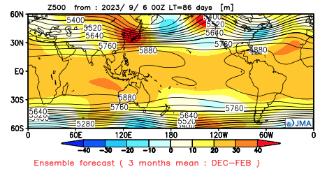
Jumping ahead, the JMA seasonal data also updated today. In short, the model shows a warm fall giving way to a warm start to the winter before potentially taking a colder mid and late winter turn. Still far too early to put much stock in the specifics from this distance. The next couple of months will be very telling with the migration (or lack thereof) of warmest central PAC sea surface temperatures along with modeled trends deeper into the winter. Long ways to go; stay tuned…
JMA meteorological (Dec. through Feb.) winter idea: