Updated 09.26.23 @ 7a
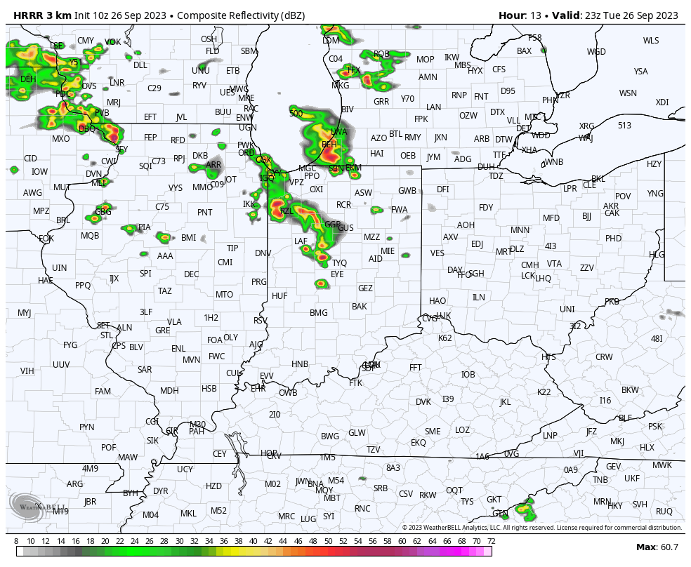
A closed upper low will pivot across the Ohio Valley over the next couple days. Our quiet start this morning will give way to “bumpy” times by evening. We expect scattered, but strong to severe storms to fire up after 5p. A couple of these could produce hail/ wind and we can’t rule out a quick spin up tornado with this setup.
The Storm Prediction Center highlights most of the area in a “marginal” risk of severe weather today, and I wouldn’t be surprised if a portion of this area (particularly western and central IN) is upgraded to a “slight” risk at some point.
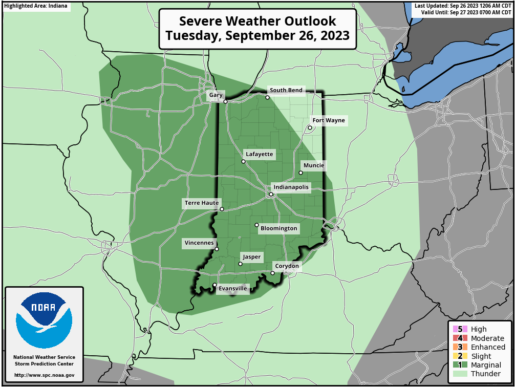
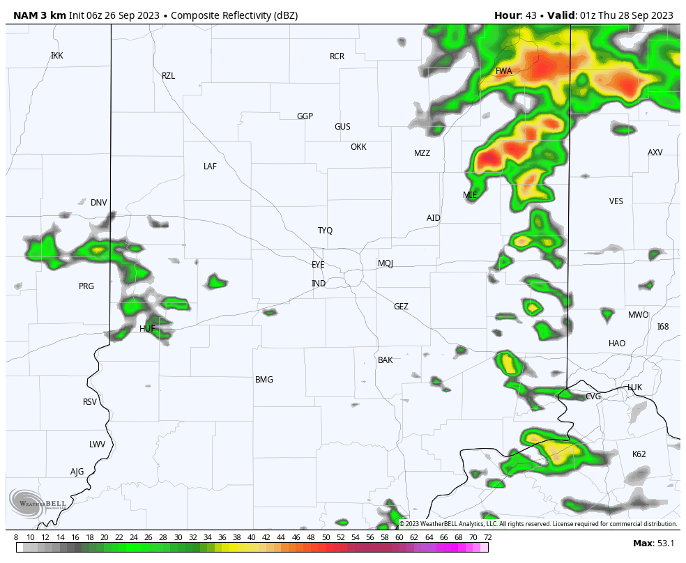
Storms should become most widespread just before sunset and continue into the overnight hours.

As we transition into Wednesday, morning convection will likely still linger before greatest concentration of rain and storms pivots to eastern and southeastern parts of the state by afternoon.
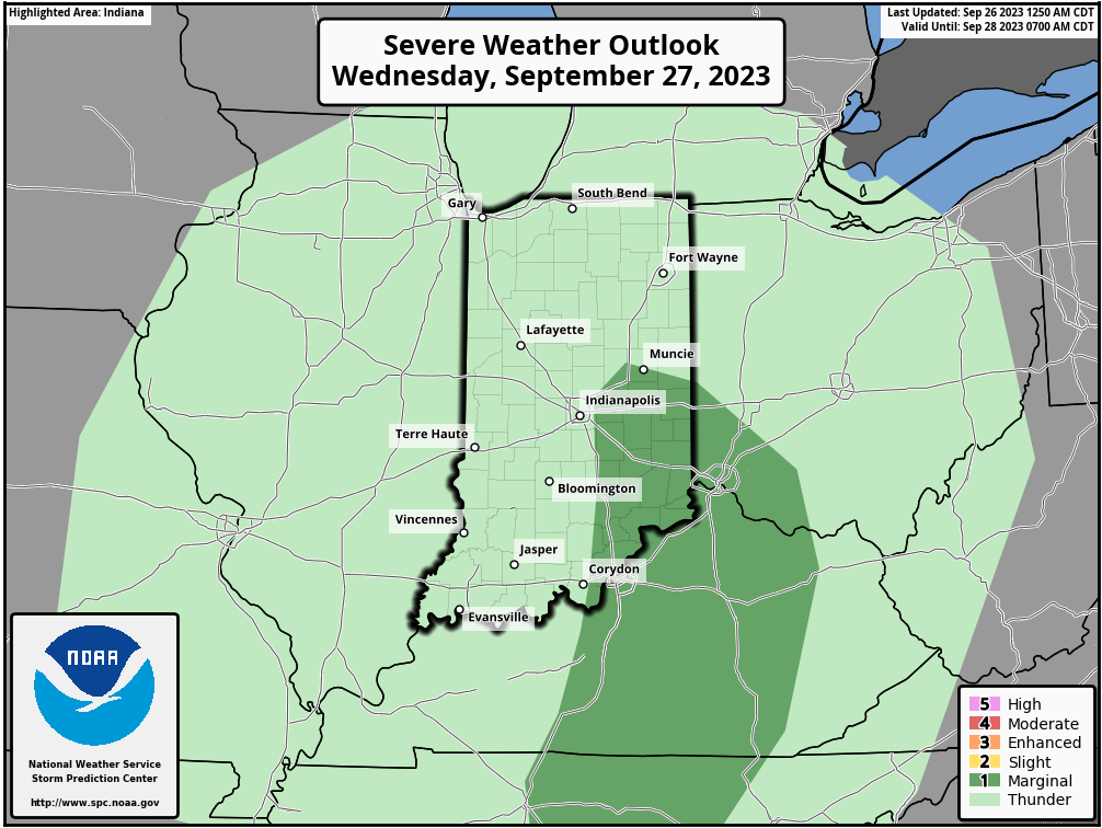

By the time all is said and done, many central Indiana rain gauges can expect to pick up between 0.50” and 0.75” of rain but there will be a few lucky folks that accumulate much more (type setup capable of 1”-2”+ in localized areas).
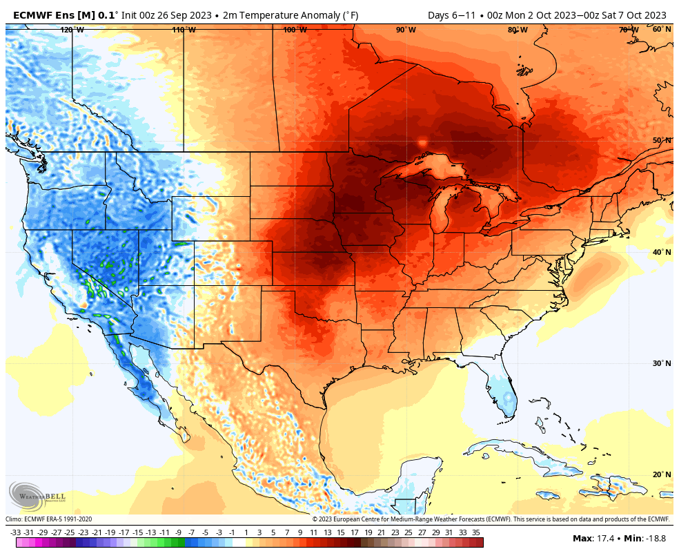
As we get set to rumble into the weekend, drier air will return and plentiful sunshine is expected. We still expect an unseasonably warm open to October with an extended stretch of days in the lower to middle 80s- good for 10° to 15° above the norm.