Updated 08.16.23 @ 7:26a
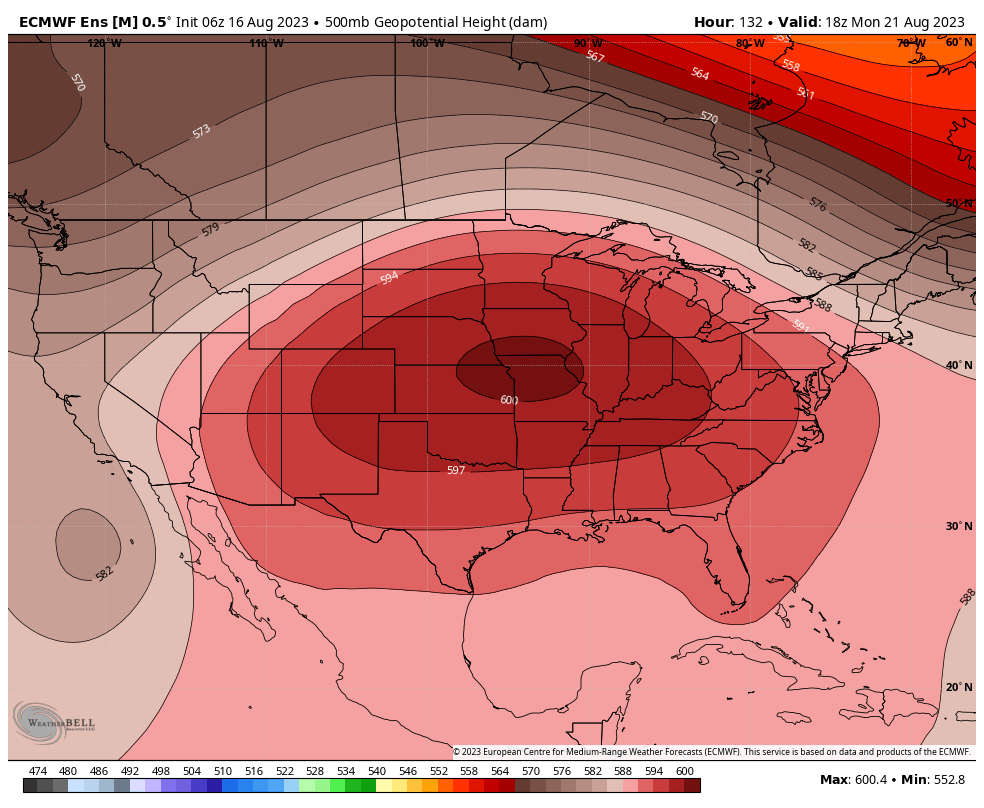
Most Hoosiers woke up to a hint of autumn this morning. We’re getting to that point on the calendar where we typically hear that most aren’t ready for the cooler days of autumn that are literally on the doorstep. If you find yourself in that club, take heart in knowing the hottest air of the season awaits next week as an upper level ridge expands overhead for a period of time.

This should feature multiple days next week with high temperatures into the low-mid 90s, however, this will at least be a “drier” heat compared to most other spells this summer. Most, if not all, of next week will be free of any rain along with plentiful sunshine. Aside from the big time heat, a quiet week is in store.
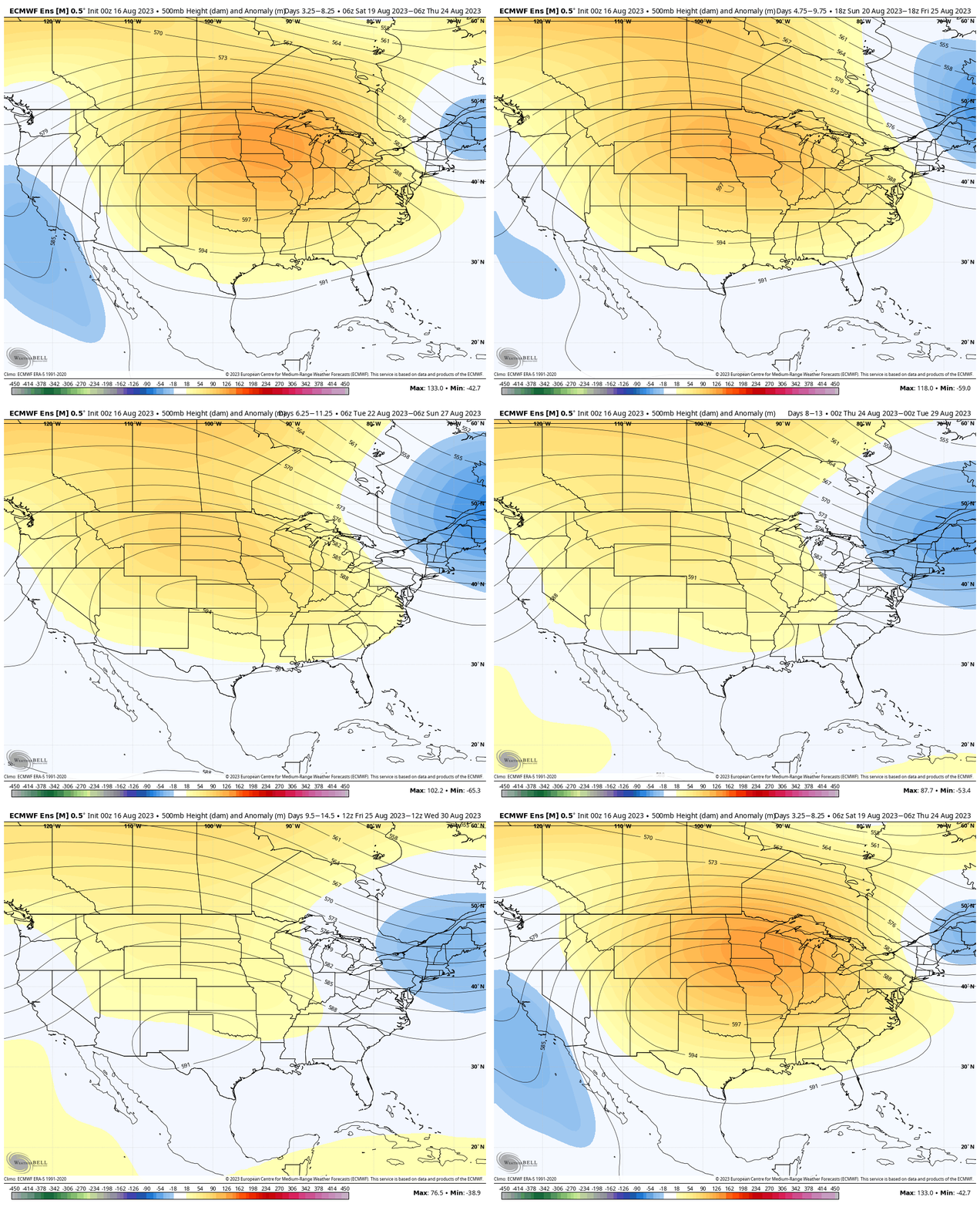
In looking at the long range charts, we see something similar with the ‘mean’ ridge position as it retrogrades west towards the Day 10-15 period. This should pull the more significant heat west and open us up for wetter times as we push into early September.

Perhaps the threat of some late summer/ early autumn ridge riding storm complexes are in our future? Regardless, while the upcoming week will feature significant heat, like so many other patterns this summer, there continues to be a light at the end of the hot tunnel before the “hot” pattern begins.
- Another note that will require our attention over the course of the upcoming couple weeks? The tropics. After a very quiet time of things, it sure appears as if activity will be on the uptick just in time for us to approach the peak of the season.
