Updated 01.01.23 @ 7a
The first few days of January will open up with more of a spring-like feel. In fact, each of the next (4) days should feature high temperatures well into the 50s and even 60s Tuesday.

That boost in the mercury Tuesday is all thanks to a strong southerly air flow ahead of our next significant storm system. Rain will overspread the area Monday evening and become heavy at times into Tuesday. Embedded thunder (even a couple stronger storms) is a good bet south of I-70 Tuesday.
Rainfall will be a plenty.

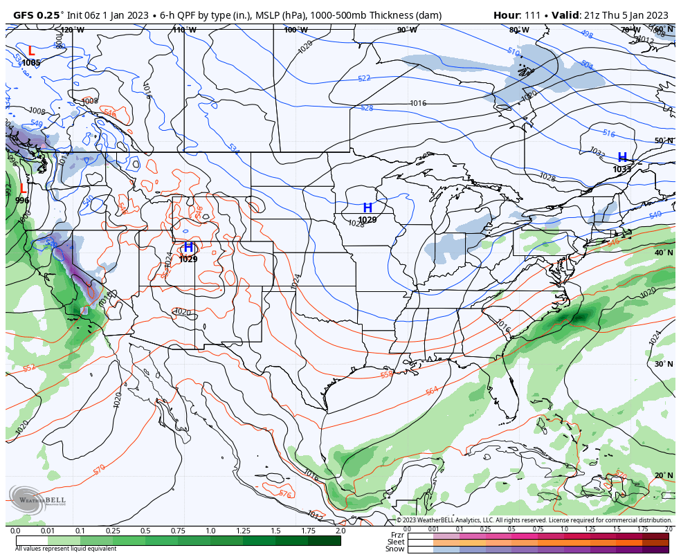
Seasonably chilly air will filter into the region midweek behind the front. While far from anything terribly cold for the time of year, temperatures will fall enough to allow lingering upper level energy to generate light snow and snow showers around these parts by Wednesday night into Thursday.

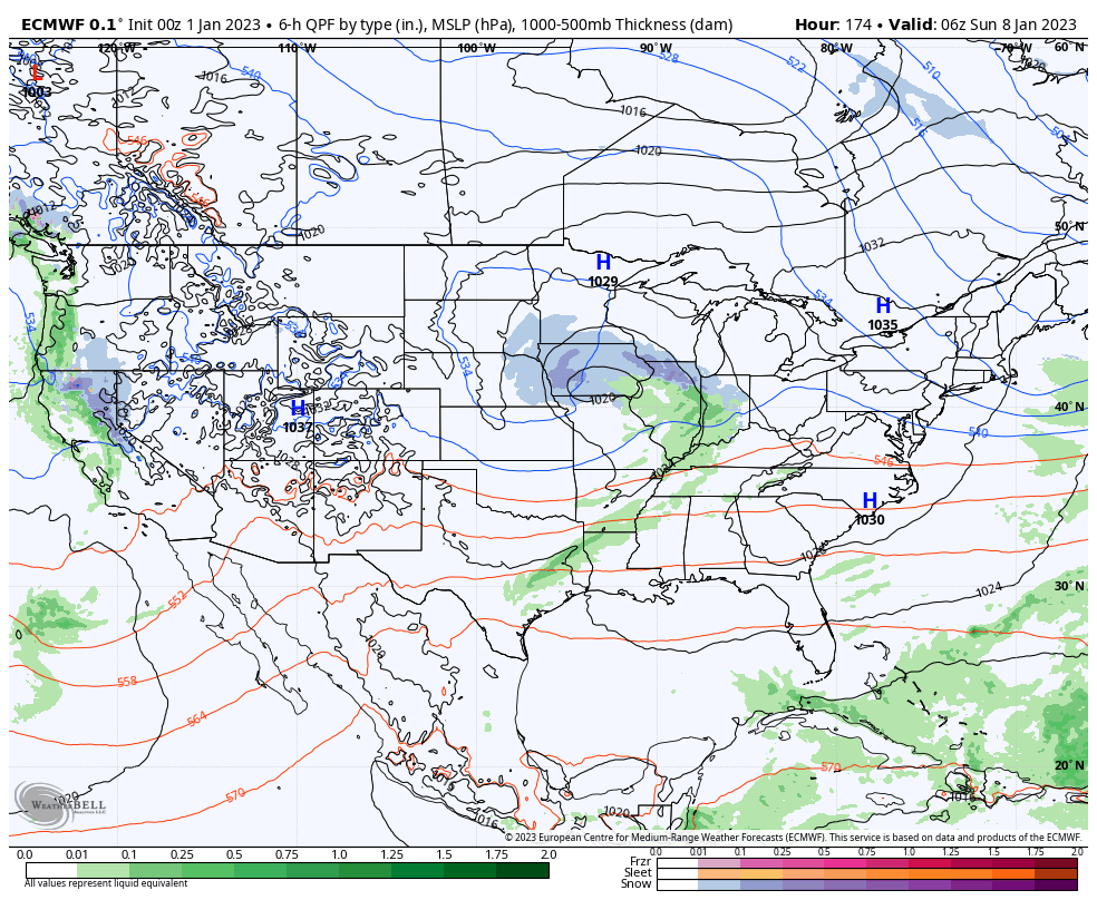
Another (at this time, appears fairly weak) system will arrive a week from today.

Longer range, we continue to eye mid month for more of a dramatic shift back towards cold and wintry conditions. More on that in a video discussion later this afternoon.
