Updated 01.08.23 @ 8:54p After having a chance to take a look at the 12z suite, there’s not much, if any, reason to alter our ideas from this morning on…
You must be logged in to view this content. Click Here to become a member of IndyWX.com for full access. Already a member of IndyWx.com All-Access? Log-in here.
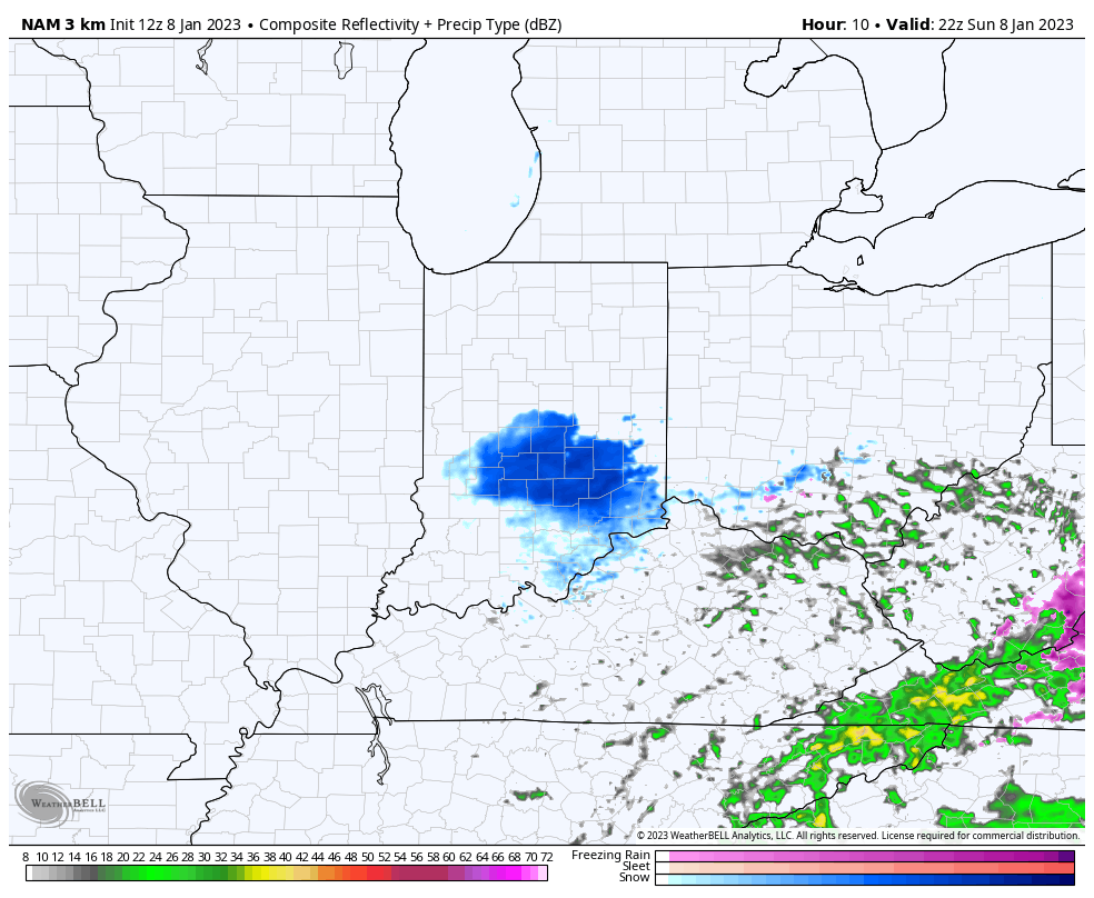
While the day has started off on a quiet note, light snow will overspread portions of central Indiana, including Indianapolis this afternoon. This won’t be a big deal by any stretch of the imagination but a light coating is possible along the I-70 corridor by evening as the light snow becomes more persistent. This is all part of the same weak, pesky system we’ve been tracking since about this time last week (yes, the same one that at times was modeled to be a much bigger deal). In any event, please keep us posted on what you’re seeing this afternoon into the evening hours.
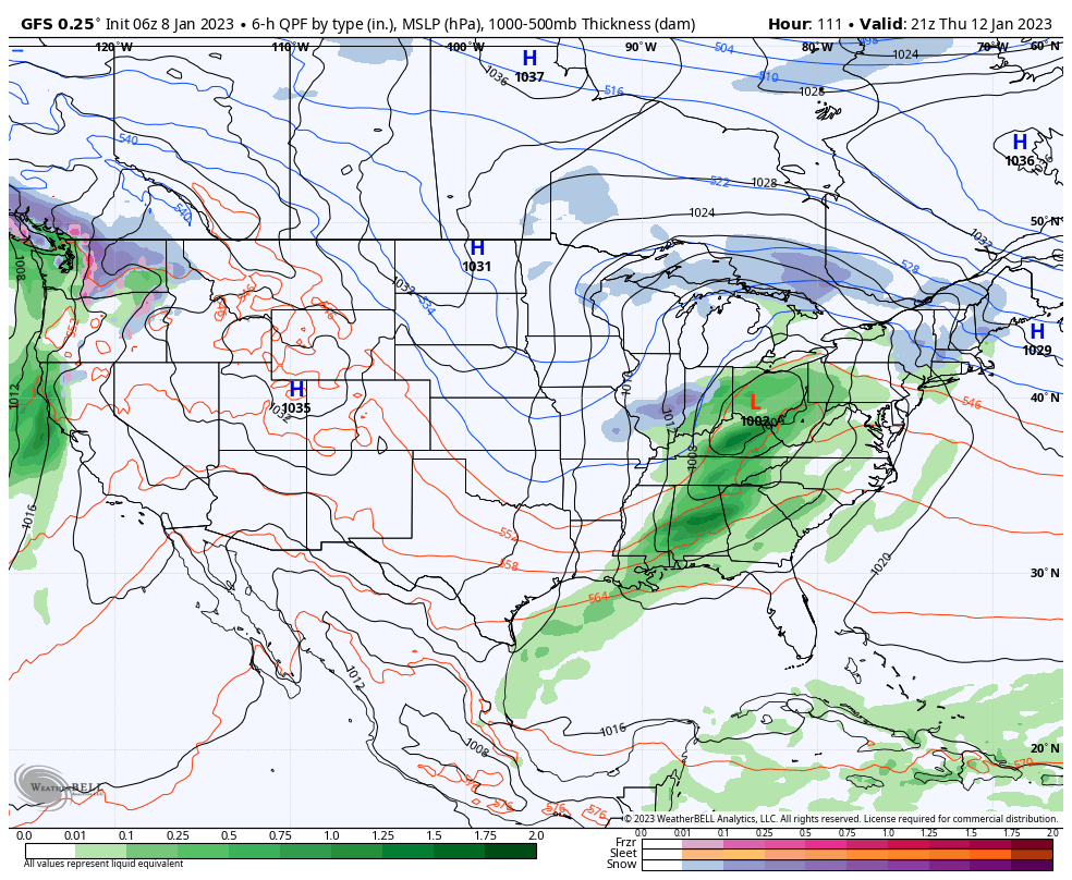
The steadier light snow should end from west to east between 5p and 8p and give way to a quiet start to the work week. By this time, all eyes will be on a much stronger, more organized system that will move into the Ohio Valley. This should be a mostly liquid event, but we do note both the GFS and European models working enough cold air into the system to all the rain to begin mixing with and changing to wet snow Thursday PM.
European forecast model shows rain beginning to mix with and change to snow Thursday PM.GFS model is also on board for the potential of rain changing to snow Thursday afternoon.
Of course timing is always an important part of changeover scenarios, especially on the tail end of the precipitation shield. However, given the 500mb pattern in eastern Canada, we should watch for the possibility of the overall solution trending colder with time over the next couple of days.
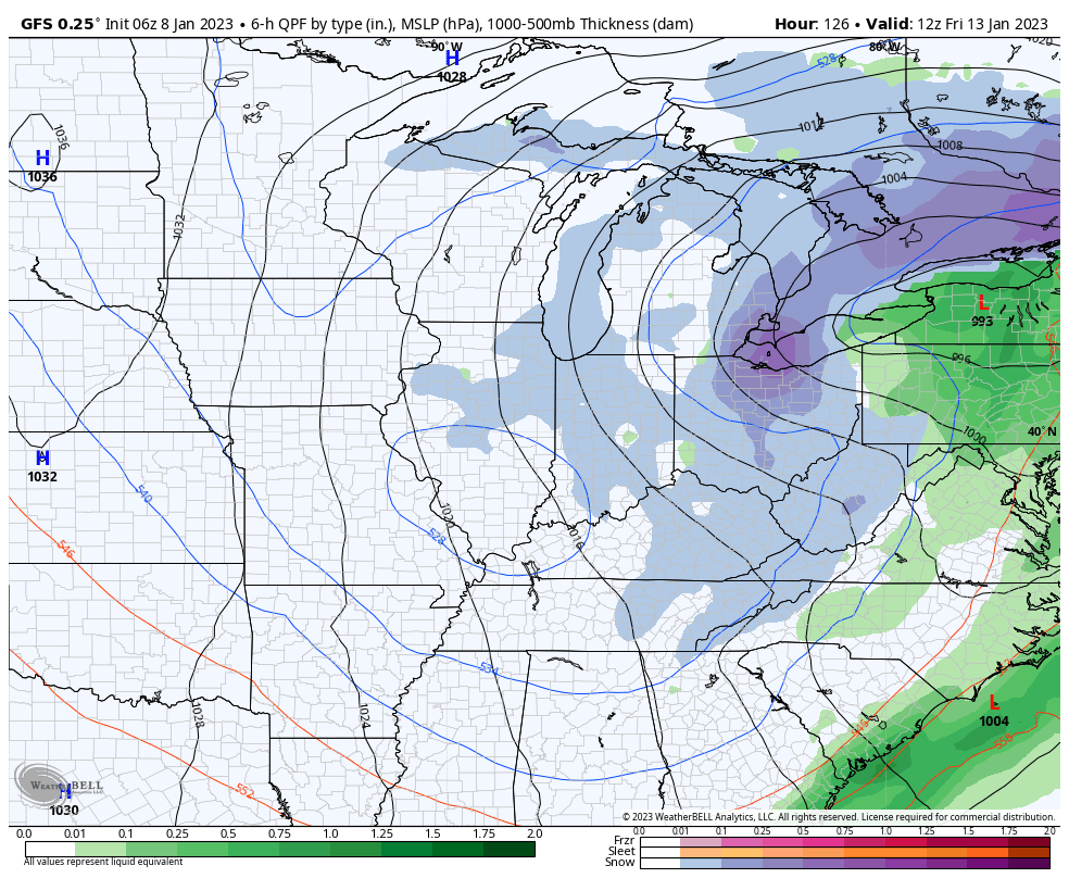
As additional upper level energy dives in behind the primary low, wind-whipped snow showers and squalls with additional light accumulation potential will be present to close the work week.
Side note, I’ve been without a Fiber connection since last Thursday (thanks to a main line cut). Trying to make do the best way possible, but hence a reason for the lack of videos the past couple of days. Hopeful things will get back to BAU tomorrow, but know your patience is appreciated greatly right now. Regardless, we’ll be back with another update this evening reviewing trends for mid-late week off the 12z suite.