
Updated 01.23.23 @ 6:01p
While not “overly cold” (at least yet), we’re heading into a special pattern for snow/ winter weather lovers. After the leading wave of accumulating snow over the weekend, a much more “meaningful” storm eyes the region late tomorrow night and Wednesday.
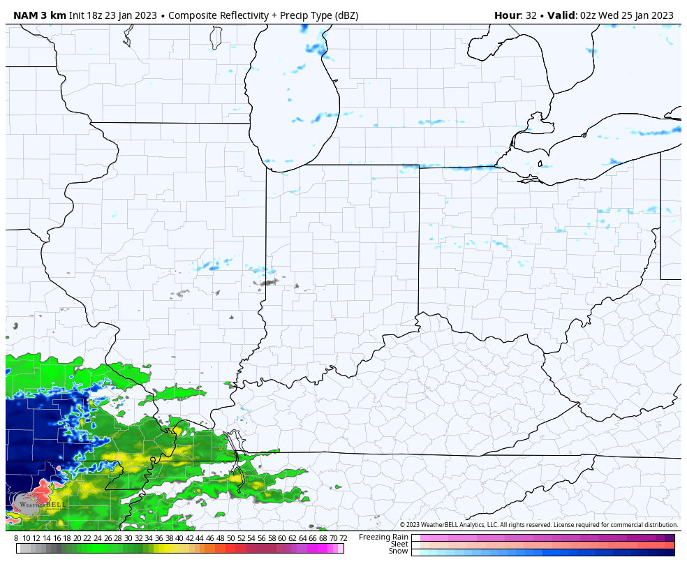
In short, we don’t have any changes to our thinking since Saturday on this storm. Snow will lift in here from the south during the overnight and become heavy throughout the morning hours. Snowfall rates will likely approach, if not exceed, 1″ per hour during this time period and will lead to a horrendous morning rush all throughout the region. If you don’t absolutely have to travel, we recommend staying put. Embedded intense snow bands will likely pivot into the city throughout the morning, elevating those snowfall rates and reducing visibility.
Heaviest snow looks to fall in the 2a to 11a timeframe in the city, itself. This will be a wet, heavy (paste-like) snow.
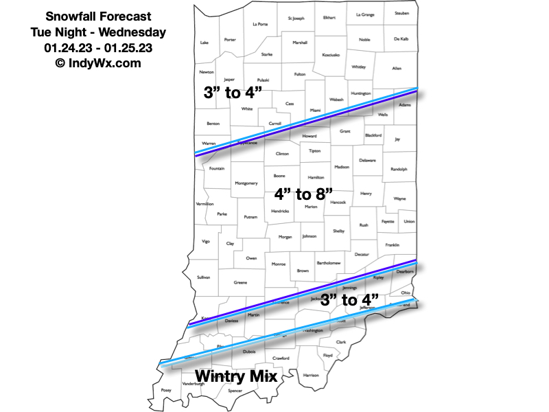
We still don’t see a reason to alter our ongoing snowfall forecast published first to Clients Saturday. This is only for the Tuesday night-Wednesday period and doesn’t account for additional light snow accumulation that will take place Thursday into Friday. Needless to say, there will likely be some across central Indiana that close in on double-digit storm totals by the time all is said and done.
And just as soon as we catch our breath from this storm, attention will turn to the following winter weather makers:
- A clipper system that will scoot through the Great Lakes region Friday. This will likely lead to a period of more concentrated, albeit light, snow Friday PM. Additional light snow accumulation is possible across central and northern IN during this time period.

2. Another southern stream system approaches Saturday evening. While milder air will be present (at least aloft), it’s also very possible the modeling will be forced to correct colder after realizing what kind of deep snowpack will likely be deposited across the region midweek. Long story short, we feel this storm system will also be capable of producing a wintry mix of snow and/ or sleet and freezing rain Saturday night into Sunday. Additional details will have to be sorted out in more specific fashion after midweek.

Thereafter, with the negative PNA and negative EPO in place, we’re likely to deal with additional wintry “fun and games” into the middle and latter part of next week, but with this being more than 7 days out, there’s no reason getting too excited from this point with specifics.
Needless to say, we’re in about as good of a position as one could ask for accumulating winter weather events in the medium range period. We’ll just have to take one storm at a time.
Make it a great evening!