Updated 03.15.21 @ 7:55a
You must be logged in to view this content. Click Here to become a member of IndyWX.com for full access. Already a member of IndyWx.com All-Access? Log-in here.

Mar 15
Updated 03.15.21 @ 7:55a
You must be logged in to view this content. Click Here to become a member of IndyWX.com for full access. Already a member of IndyWx.com All-Access? Log-in here.
Permanent link to this article: https://indywx.com/video-mixture-of-sleet-and-freezing-rain-this-morning-gives-way-to-thunder-overnight/
Mar 14
Updated 03.14.21 @ 10:26a
I. Tracking 2 coast-to-coast storms in the week ahead
II. Severe episodes begin to increase


Forecast period: 03.14.21 through 03.21.21
An active week is in store for the region as a series of storm systems impacts the area. The first system will deliver widespread heavier precipitation (after today’s light, nuisance variety rain/ drizzle) late morning Monday into the afternoon hours. With just enough cold air in place, there’s the possibility this precipitation will mix with sleet and freezing rain from Indianapolis and points north briefly at the onset. That said, the wintry precipitation types won’t last long and things will quickly changeover to a plain ole rain by early to mid afternoon. Scattered showers and a possible embedded storm will continue Tuesday as the surface low moves through the Ohio Valley.
Storm #2 quickly follows for St. Patrick’s Day. While we still have some time to fine tune things, I’d suggest keeping an eye on Wednesday afternoon for the possibility of stronger storm potential as far north as central IN and more of the Ohio Valley as a whole. The ingredients aren’t the best, but there seems to be just enough warmth and instability to at least warrant a close eye for this time period. We’ll do just that and update our products accordingly.
Quieter weather will build into the area by the weekend.
Permanent link to this article: https://indywx.com/weekly-agwx-and-severe-weather-outlook-23/
Mar 13
Updated 03.13.21 @ 9:24a
You must be logged in to view this content. Click Here to become a member of IndyWX.com for full access. Already a member of IndyWx.com All-Access? Log-in here.
Permanent link to this article: https://indywx.com/video-week-opens-with-a-messy-system-and-we-eye-storm-potential-by-st-patricks-day/
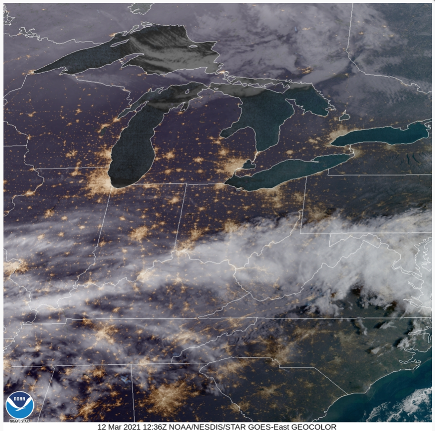
Mar 12
Updated 03.12.21 @ 7:38a
The cold front that delivered showers and thunderstorms to central Indiana Thursday is now off to our south. In general, rainfall amounts checked in between 0.50″ and 0.75″ to the north of Indianapolis and between 1″ and 2″ south of the I-70 corridor. Far downstate saw rainfall totals as high as 3″ in spots.
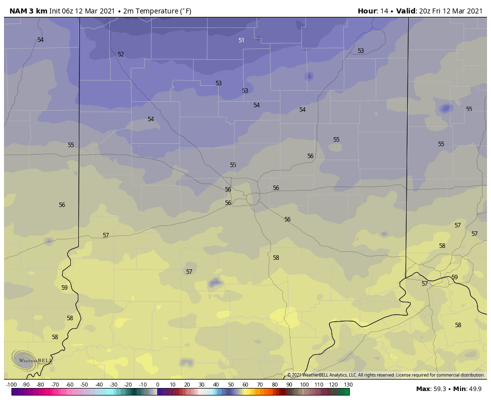
High pressure will nudge into central Indiana and keep us dry (including offering up sunshine) as we open the weekend.
Highs will top out in the middle 50s both today and Saturday across central Indiana with partly cloudy conditions. While lows tonight will be chilly, most should stay just above freezing (unless you’re viewing from northeast or far east-central IN).
Clouds will increase Sunday and a cold light rain will follow by late morning/ early afternoon.
Eventually this rain will increase in intensity as we move into Monday morning. At the same time, cold air will be drilling into northeast regions of the state. The combination of the two will lead to a period of mixed precipitation Monday morning into the afternoon hours across northeast Indiana. Since it’s been unseasonably warm as of late and temperatures will be only marginally cold (upper 20s to lower 30s), icing on area roadways isn’t expected. That said, elevated surfaces could accumulate a light glaze of ice Monday morning for areas along and north of a line from Muncie to Logansport.
Milder air will overspread the region Monday afternoon and allow everything to switch over to a plain ole rain that will continue into Tuesday.
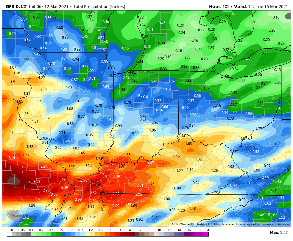
Most of central Indiana can expect an additional 0.50″ to 1″ of rain with this early week feature.
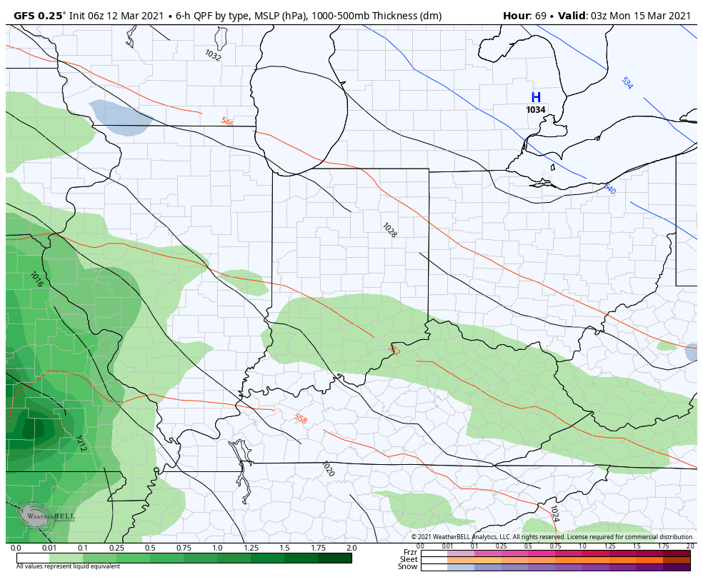
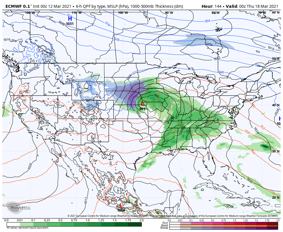
We’ll have a brief break in the action for St. Patrick’s Day and then another storm system will roll across the Ohio Valley Thursday. Forecast models differ on the track of this system (GFS is colder and further south while the European is warmer/ further north). We’ll fine tune things over the weekend and update accordingly. From this distance, I’d plan on another round of rain and potential thunder Thursday.
Permanent link to this article: https://indywx.com/weekend-opens-with-sunshine-tracking-two-storms-next-week/
Mar 11
Updated: 03.11.21 @ 8a T-storm chances ramp up across central IN into the early afternoon. We trend cooler over the weekend and rain returns Sunday. More on this and a…
You must be logged in to view this content. Click Here to become a member of IndyWX.com for full access. Already a member of IndyWx.com All-Access? Log-in here.
Permanent link to this article: https://indywx.com/video-short-term-update-looking-ahead-to-late-march/