Updated 03.07.21 @ 8:48a
I. Unseasonably mild open to the week
II. Heavy rain/ potential flooding threat looms late week across OHV


Forecast period: 03.07.21 through 03.14.21
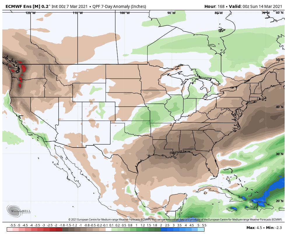
While our weather will remain “eerily quiet” to open this forecast period, significant changes await on deck by the 2nd half of the week. These changes will be ushered in from a cold front that will lead to increasing shower (maybe even embedded t-storm) chances Thursday before rain becomes widespread Thursday night into Friday. The GFS and European computer models begin to disagree on the evolution of things next weekend. The GFS stalls the front just to our south before a surface wave of low pressure rides along the boundary over the Saturday-Sunday period. Meanwhile, the European shoves the front off to the south in a quicker fashion, allowing for a drier weekend. We’ll need to keep a close eye on things and update in the days ahead. Should the GFS idea be correct, a flood threat would ensue, including weekend rainfall totals of several inches. We’re not ready to jump on the excessive rainfall idea yet, due to the differences in the handling of the frontal boundary/ associated surface wave, but will keep a very close eye on things. Stay tuned.
