The short-term is as quiet as one could ever ask for this time of year. Accordingly, this is allowing us to look ahead to the potential of more active times on the horizon. Will that increasingly active regime be met with a return of the chill? Let’s dig in…
First and foremost, let’s look over the teleconnections and what light they’re shining on the pattern:

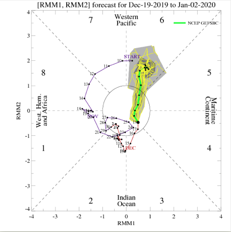
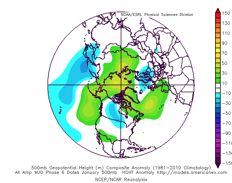
The Madden-Julian Oscillation has eyes on Phase 6 as we open January. This, too, would favor the “core” of the cold well to our northwest. We do, however, note the high latitude blocking that develops in Phase 6.


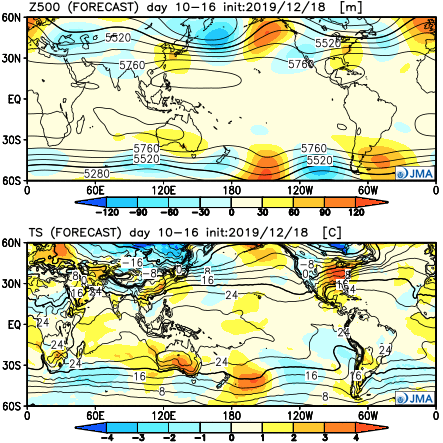
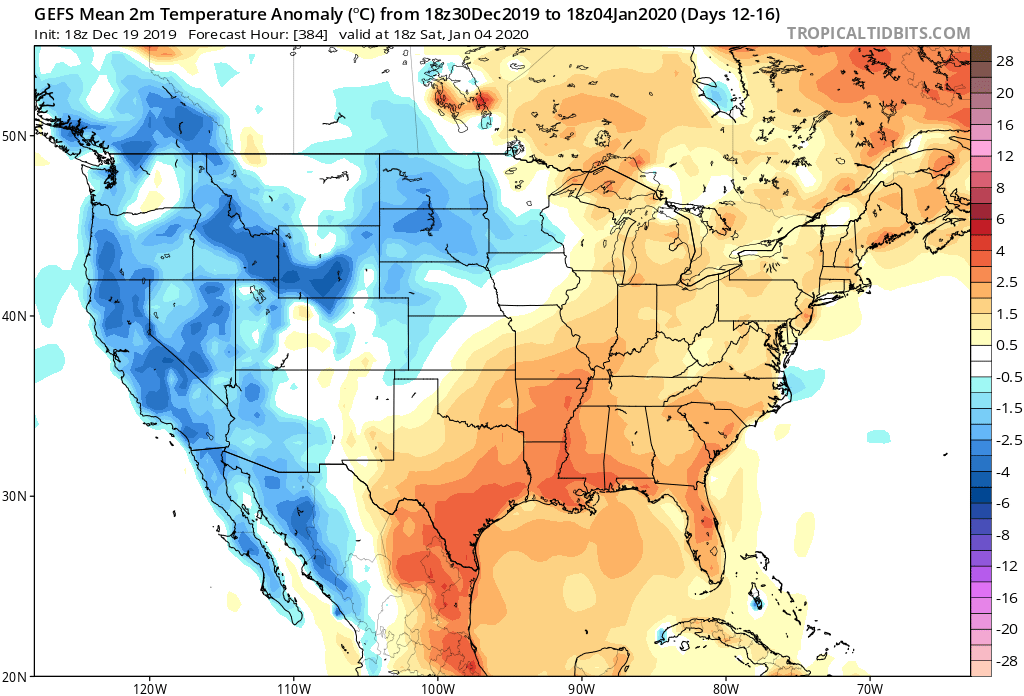
Given the above, to no surprise, the bulk of long range data paints above normal temperatures to open January. It appears as if what will be an increasingly busy pattern at that point will fall primarily in the form of rain as we ring in the new year thanks to storms cutting up west of our region.
The EPS, GEFS, and JMA Weeklies all suggest a warmer than normal pattern will be with us as we rumble through the first few days of the new year.


As we look ahead deeper into January, we do still believe the pattern will flip towards a colder than normal flavor, but we’re still a few weeks away from that change taking place. In the meantime, a quiet pattern with moderating temperatures (this week) will give way to even milder conditions the following week with a couple opportunities of rain to close the year and open January.
