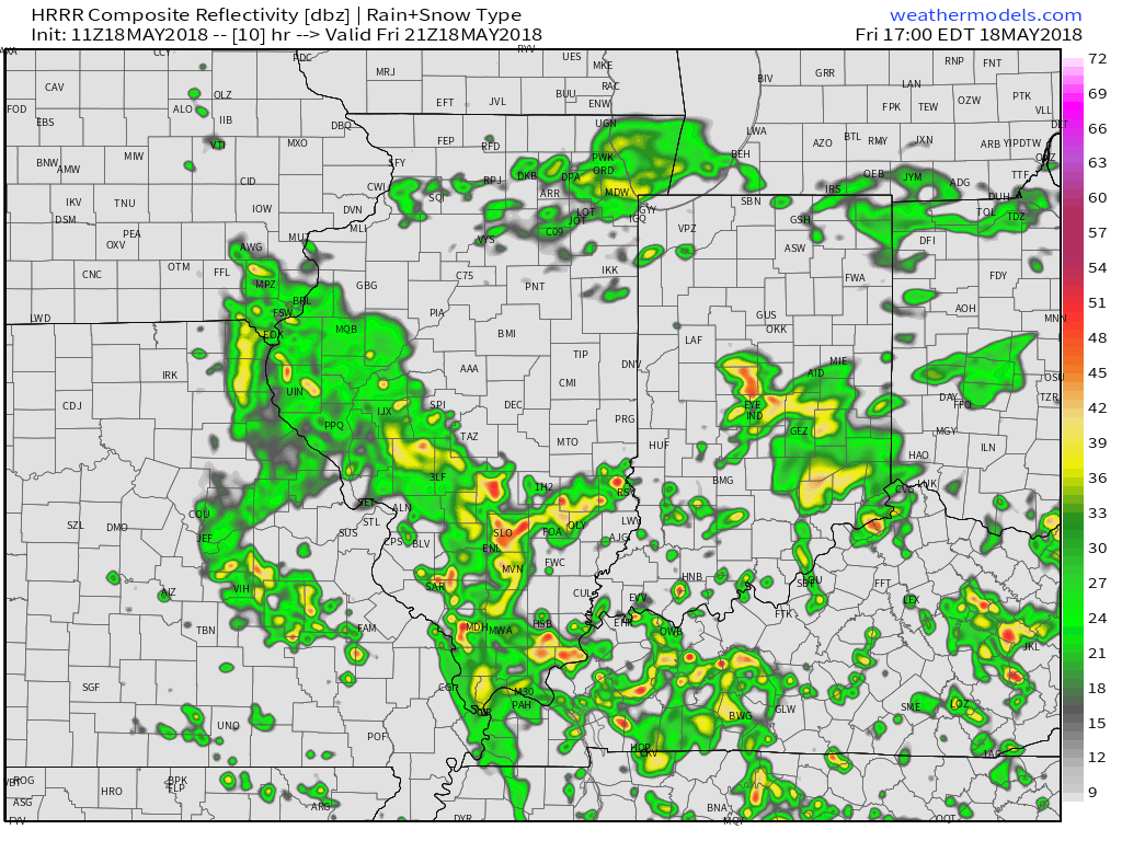
An upper level low pressure system will track northeast today into tonight, and as it does, look for more numerous showers and embedded thunder to develop. Some localized heavier downpours are a good bet this evening across central Indiana.

 Otherwise, look for considerable cloudiness and highs topping out in the lower 70s today.
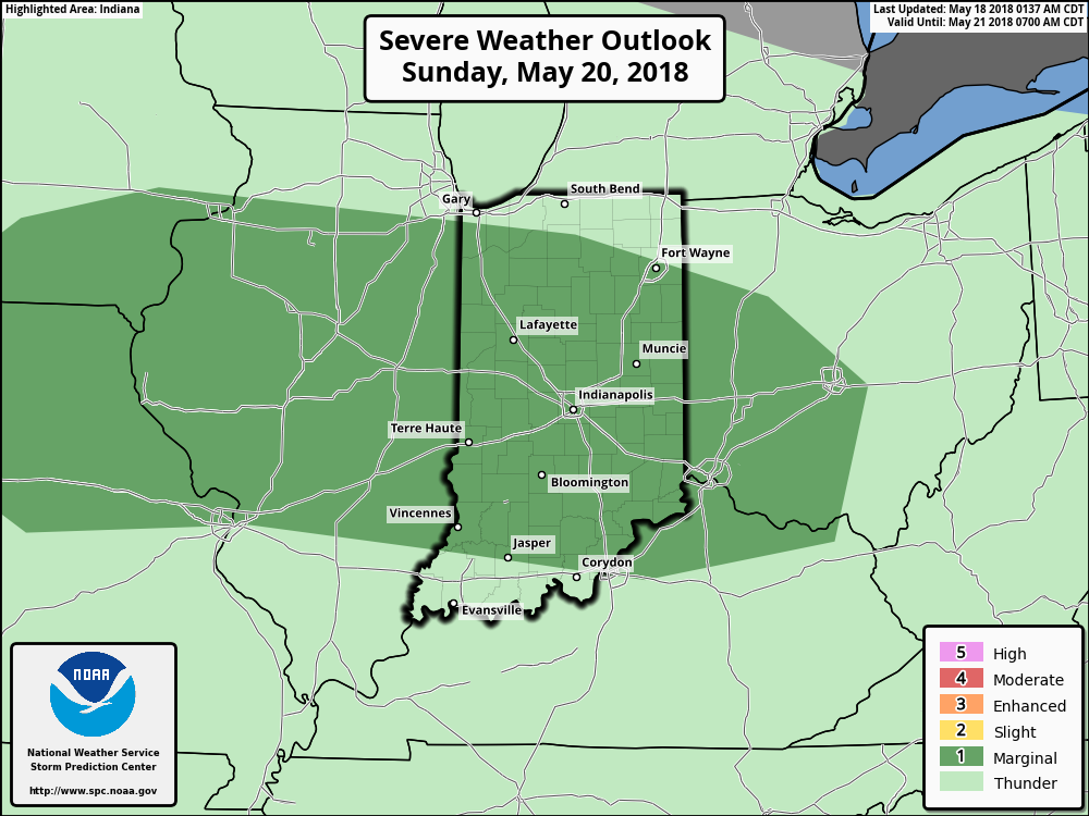
While we’ll have to contend with a few showers Saturday, overall, the day should be drier compared to today and what lies ahead Sunday. Speaking of Sunday, we’re monitoring the potential of a couple of storms reaching strong to severe levels to close the weekend. The Storm Prediction Center includes central portions of the state in a “marginal” risk of severe with their update Friday morning. It wouldn’t surprise us if a portion of the marginal risk is upgraded to a “slight” risk in future updates. We’ll fine tune storm timing over the next 24 hours.
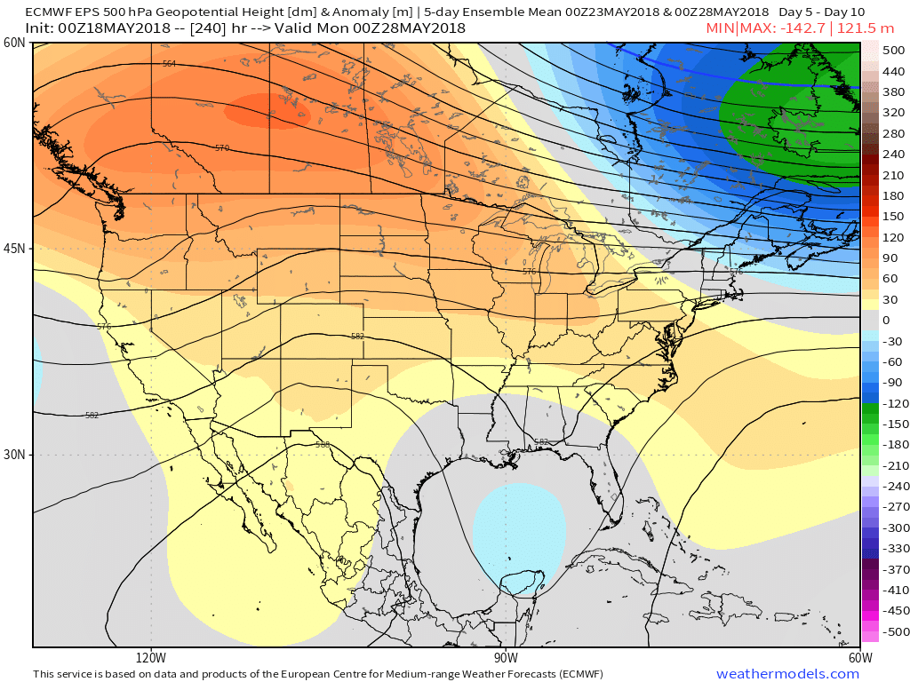
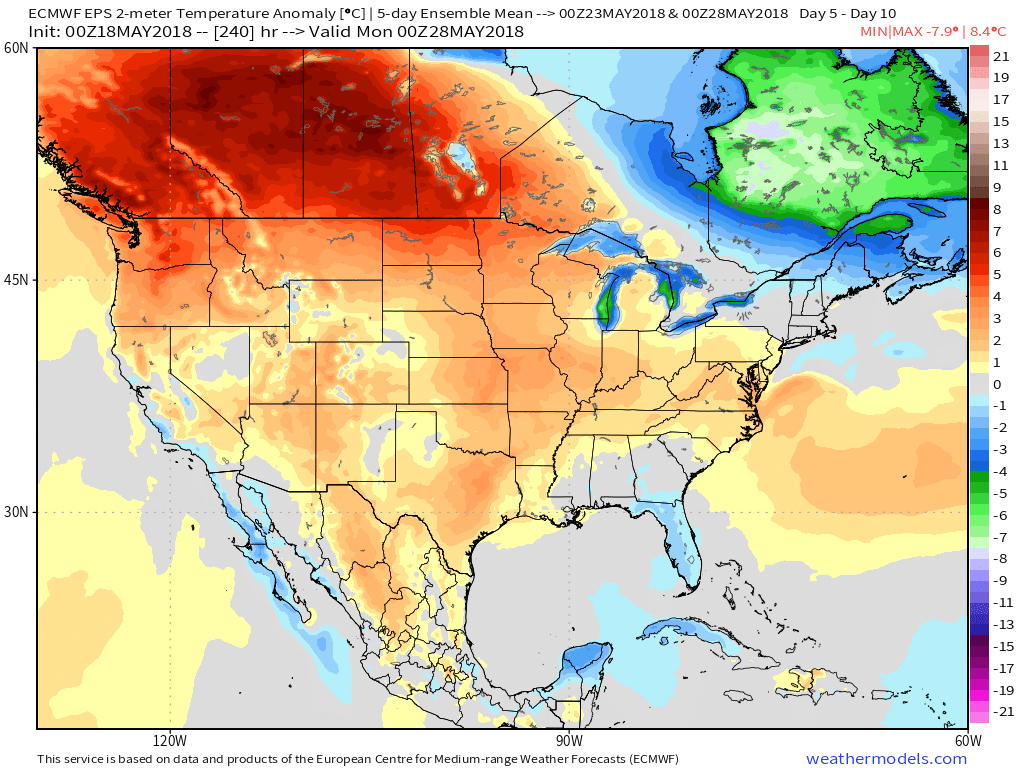
 As we look ahead to the end of May, there really aren’t any significant changes to the overall warmer than normal theme we’ve enjoyed so far this month. Longer range guidance off of the European ensemble continues to support broad scale upper ridging across the Mid West and Ohio Valley and a corresponding warmer than average regime. From a precipitation perspective, the next couple of weeks do look more active compared to the dry start to the month. Case in point, the balance of the upcoming week will be dominated by a stalled frontal boundary. While we’ll have to fine tune exactly where the front stalls, daily chances of showers and thunderstorms (scattered fashion) can be expected.