February Tug Of War…
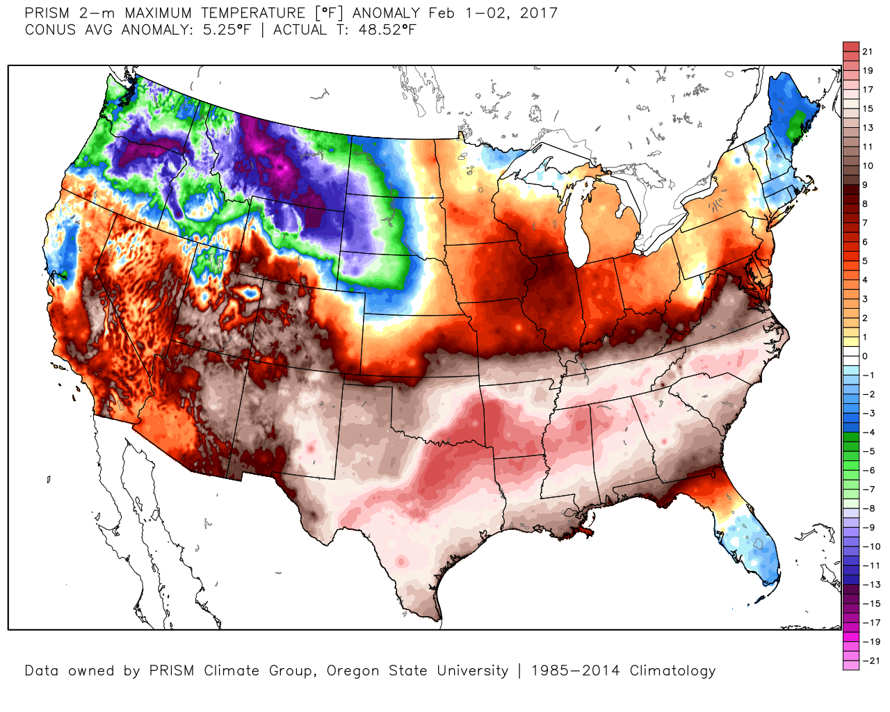
With data only encompassing the first couple days of the month, February has gotten off to a warm start. As we know, the trend over the past 24 hours has been colder and this will continue as we open up the weekend.
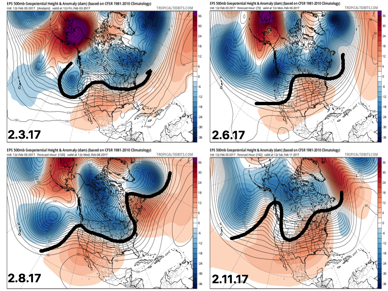
 However the cold air won’t last and milder times will return by the second half of the weekend. This back and forth “tug of war” type regime will remain as cold and warmth (relative to average) continue to battle over the upcoming couple weeks. The latest European ensemble shows this nicely.
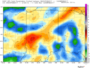
 This also favors a rather active pattern and confidence is high on a wetter than average period upcoming over the next couple weeks. See the GFS ensembles support this idea. A couple strong storms are also possible Tuesday.
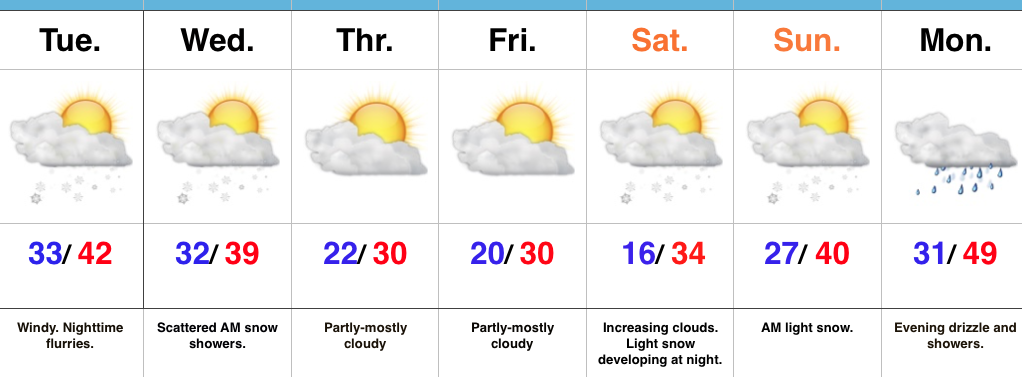
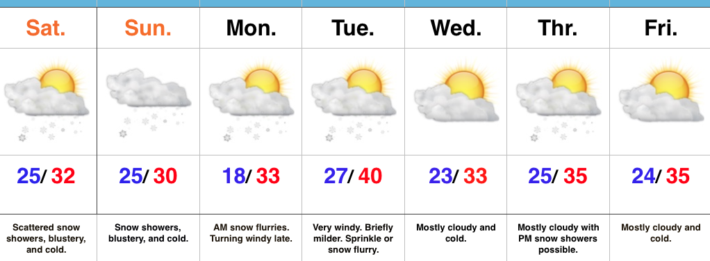
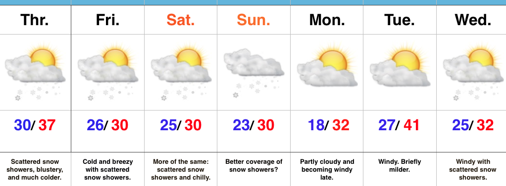
 Unfortunately for snow lovers, the majority of significant moisture should fall as rain. Best snow chances appear to come with “backlash” wrap around snow showers and squalls Tuesday night into Wednesday morning. Accumulating snow is possible, but most amounts should be light. We’ll keep an eye on it.
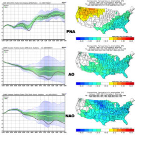
 Longer-term, the fight continues deeper into the month. As mentioned this morning, teleconnections and analogs would suggest cold and wintry conditions, but modeling sure isn’t going in that direction as of yet. The battle rages on and given the trends of the winter, it’s hard to bet against the warmer solutions, albeit with lower confidence than we’d like to have from this distance.
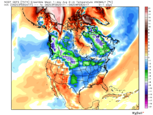 2.) What at one time looked to be a significant weekend storm now may not even deliver any precipitation at all to the region. A flurry is possible, but most should remain precipitation-free this weekend. Expect a gusty southwest wind developing SB Sunday. Highs around freezing Saturday will zoom into the middle 40s Sunday. Lows Saturday morning in the middle 10s will rise into the upper 20s to around 30 Sunday morning.
 3.) A more significant storm system will cut for the Great Lakes early next week and this will deliver gusty showers and embedded thunderstorms. A couple of stronger storms aren’t out of the question. Locally heavy rains can be expected, including amounts of 1″-1.5″ (locally heavier totals).
 4.) Cold air will rush back into the region behind the storm and snow showers and squalls are likely by Wednesday.
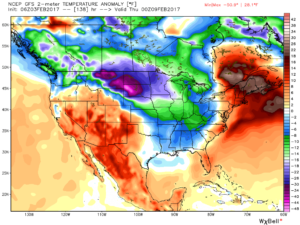 5.) Longer-term, a real fight is developing on the overall direction we’re heading as February evolves. Analog methods and teleconnections (shown below) would yield bullish cold signals and give hope to winter enthusiasts. However, modeling isn’t in agreement on the wintry ideas. In fact, some modeling is very spring-like as mid-Feb nears. Stay tuned as we try and iron out the details this weekend. Updates will come.