Uneventful Weather; Warming Up Late Week…
 Highlights:
- Dry weather this week
- Briefly cooler mid week
- Weekend warm-up
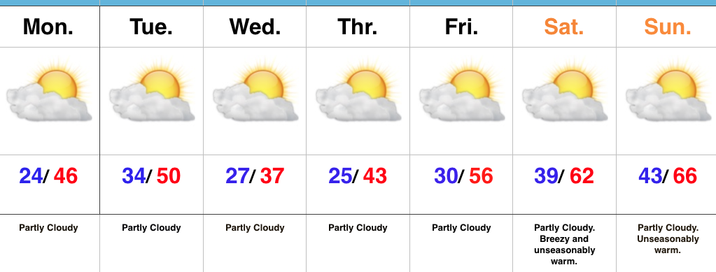
Sunglasses Required…We’re opening the work week with crystal clear blue skies and cold temperatures. Mostly sunny conditions will give way to increasing high level cloudiness this afternoon/ evening as a storm system passes by to our south. That increase in cloudiness is about as “exciting” as it gets this week in the weather department. Reinforcing chilly conditions will dive south into the region Tuesday night into Wednesday, but we’ll remain precipitation-free.
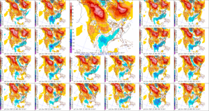
Like so many other cold blasts this winter, the chill won’t have staying power and we’ll get back to a moderating trend heading into the weekend. Many places will likely come close to 70° by the second half of the weekend as dry conditions remain. Enjoy friends!
Upcoming 7-Day Precipitation Forecast:
- Snowfall: 0.00″
- Rainfall: 0.00″
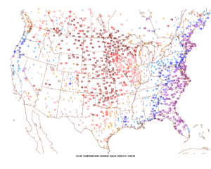 Winds will turn strong and gusty out of the southwest this afternoon, noted by the tightly packed isobars (lines of equal pressure) along with considerable mid and high level clouds.
 Clouds will lower and thicken Saturday and we may also have to deal with periods of fog, as well. Showers and drizzle will lift into town as the day progresses, especially by afternoon and evening.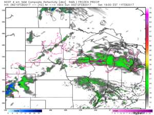
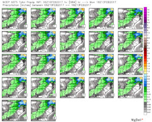
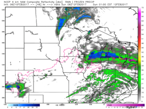 We don’t expect heavy rain this weekend. In fact, model data continues to really back off on expected totals. The general consensus is between 0.15″ and 0.25″ across central Indiana.
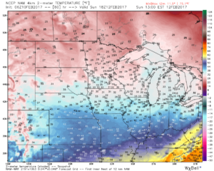
 After a mild Saturday, cooler (but not cold) air will ooze into the Ohio Valley Sunday.
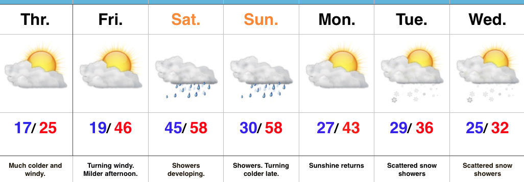
 Resurgent cold air will blow into town during the middle and latter portions of the upcoming work week. Highs will return to the 30s with overnight lows in the lower 20s. We’ll likely add scattered snow showers into the mix as well.