Off To The Races; Warmth Met With Periodic Storms…

A band of light showers is falling across southern Indiana this morning, but these are expected to diminish before pushing into central Indiana. Most of the remainder of our Wednesday should be rain-free.

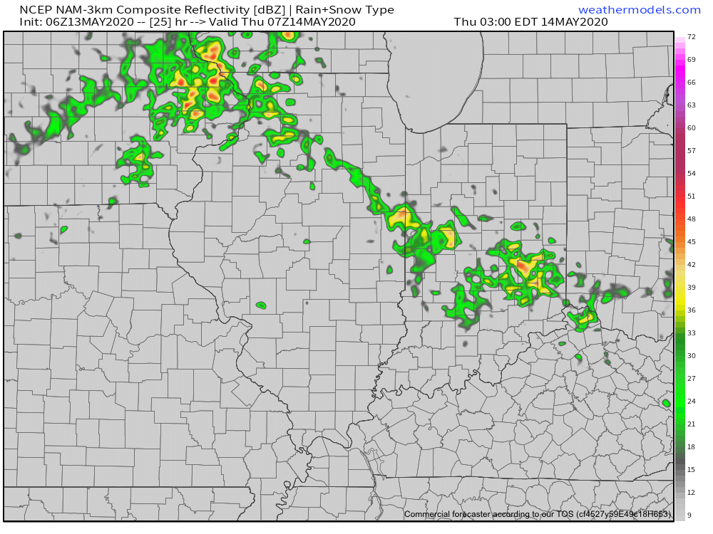
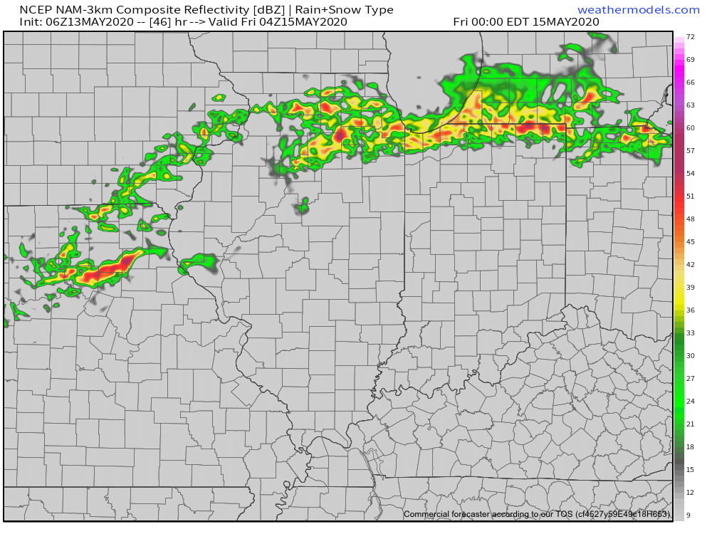
The quiet times will give way to a couple of rounds of storms during the overnight and into Friday. Most notably for central Indiana, we think storm chances will increase significantly after midnight and through the predawn hours Thursday. Locally heavy rain and vivid lightning is expected with the stronger storms.

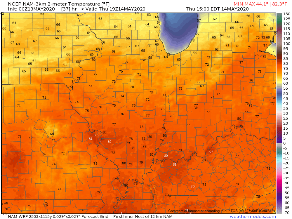
These storms are in association with a warm front lifting north through the state. Speaking of warm, we’ll certainly notice a difference in air masses between today (still relatively cool and dry) and tomorrow (much warmer and more humid). In fact, highs Thursday will flirt with 80° across most of central Indiana.


Once we get rid of the early morning storms, most of the remainder of our Thursday will be dry and feature a return of the sun.

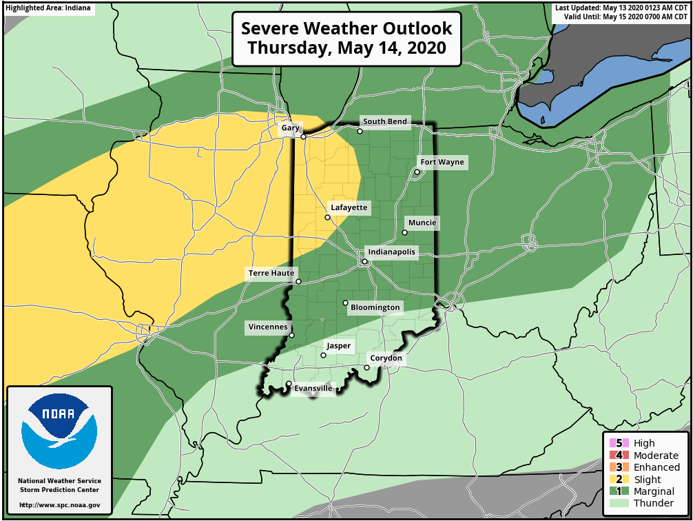
Another round of storms is expected Thursday night into Friday, but most of these will remain well north of our area. A few of these could become severe across northwestern Indiana during this period.

Rain and storm chances will increase once again during the day Friday across central Indiana. A few strong storms will be possible.

As we look ahead to the weekend, it appears we’ll be able to enjoy a mostly dry day Saturday (widely scattered storm possible) before more widespread storms return Sunday. Warm and humid conditions will prevail. A cold front will move through the area early next week which will allow for briefly cooler, drier air to move in during the 1st half of next week. Before that takes place, rainfall amounts between tonight and Sunday are expected to range from 1.5” – 2” with locally heavier totals across central Indiana. Heavier rainfall amounts can be expected across northern Indiana (widespread 3” to 4” amounts during the same period).

Weekly #AGwx And #Severe Outlook…

Weekly Highlights:

I. Potent area of low pressure will track along the Ohio River, spreading rain across the Ohio Valley and into the Northeast, including higher elevation wet snow.

II. A surface low and associated cold front will sweep into Plains Tuesday and to the eastern seaboard by Thursday. This system will have to be monitored for not only the potentially of locally heavy rain, but the threat of strong to severe thunderstorms on the journey southeast.

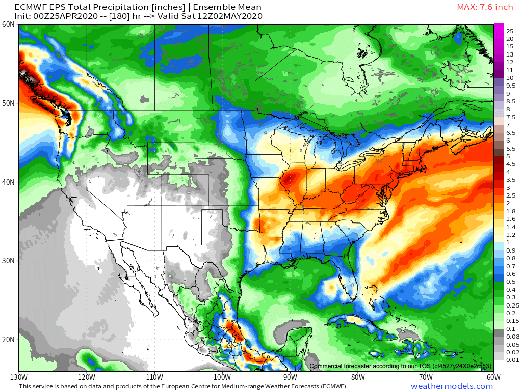
Wettest anomalies will extend from the Ohio Valley and Mid-Atlantic into the Northeast over the upcoming 7-days. Widespread dry conditions can be expected across the central Plains into the Rockies.
Immediate central-Indiana can expect 2″ to 2.5″ of rain between now and next Saturday morning, with locally heavier amounts.
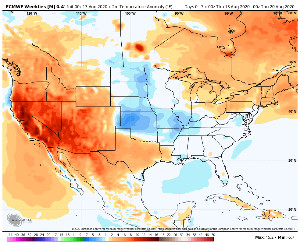
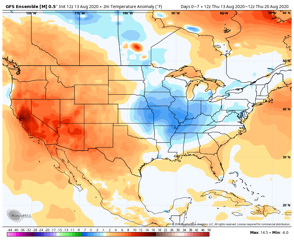
Summer-like heat will bake the West while the eastern 1/3 of the country remains cooler than normal.
We will have to keep close tabs on the midweek cold front as it may ignite strong to severe storms from the Plains to the East Coast in the Tuesday-Thursday time period. The SPC is already highlighting a Day 4 (Tuesday) risk.

Forecast Period: 04.25.20 through 05.02.20

Central Indiana and the Ohio Valley, as a whole, will have to deal with both storm systems highlighted above. While we still believe dry conditions will prevail through a good portion of our Saturday, rain will become more widespread this evening into Sunday morning in response to a surface low moving northeast along the Ohio River. A couple heavier bands of rain may develop across the region tonight into Sunday morning and by the time all is said and done, the southern half of the state (along and south of the I-70 corridor) can expect 0.50″ to 1″ of rain by Sunday afternoon. Further north, amounts between 0.25″ and 0.50″ will be more common. Drier air will build in late Sunday afternoon, along with a cooler northeasterly and northerly flow behind our departing storm system.

Monday morning will open dry, but a weak weather maker will scoot through the state during the afternoon, resulting in scattered showers making a return Monday PM. These will be quick-moving showers and rainfall totals are expected to remain light for those that do see rain.

A much more organized storm system will push southeast Tuesday evening and Wednesday leading to more widespread shower and thunderstorm activity during this time frame. Stronger storms and locally heavy rain will be a good bet with this particular system. Drier, cooler air returns behind this system as we get set to wrap up the work week.

Looking Ahead Into May: Extended Cooler Than Normal Regime; What About Precipitation?

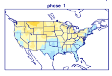
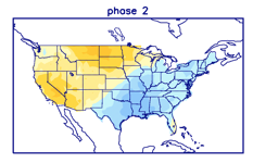
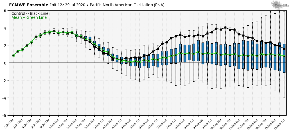
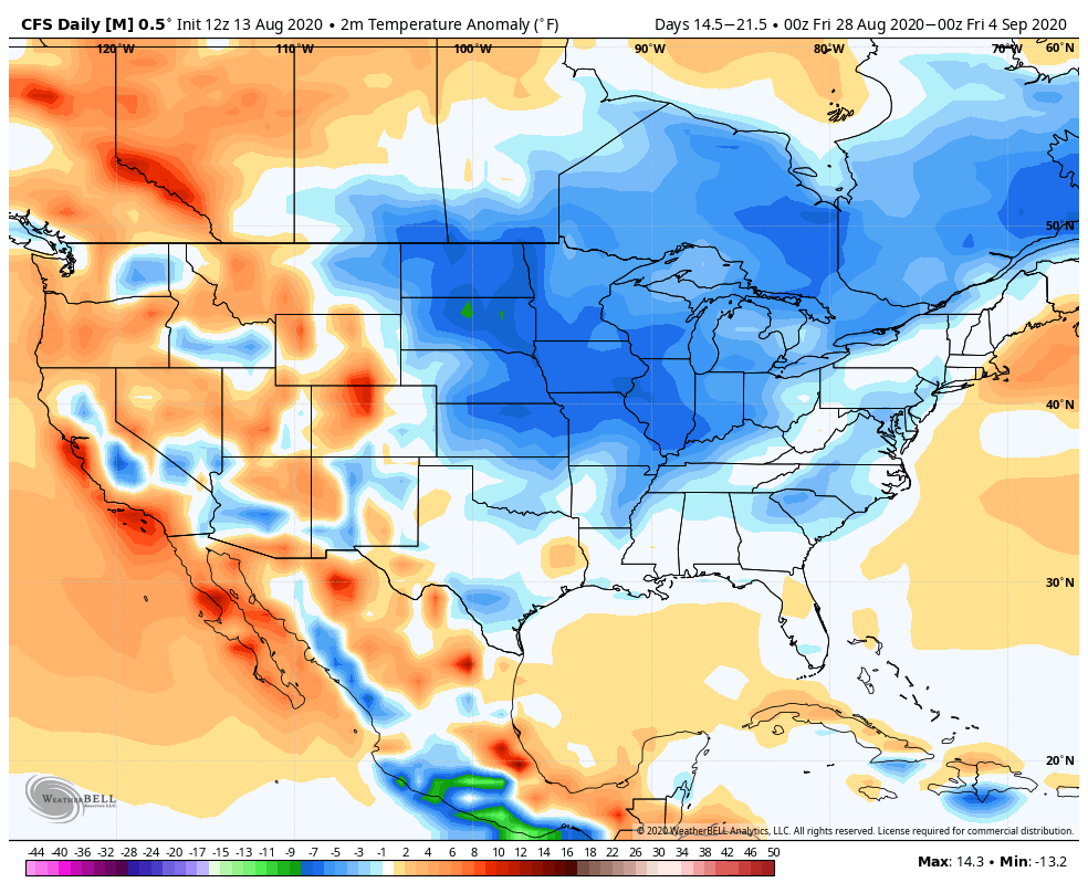
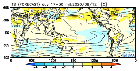
The 2 big teleconnections (at least that we lean heavily on this time of year) both favor our cooler than normal regime lasting into the early to middle part of May. That’s not to say, there won’t be periods of warmth getting into the region ahead of cold fronts, just that in the overall sense, temperatures should continue to run below normal into the 1st half of May.

We can thank the positive PNA and negative NAO.

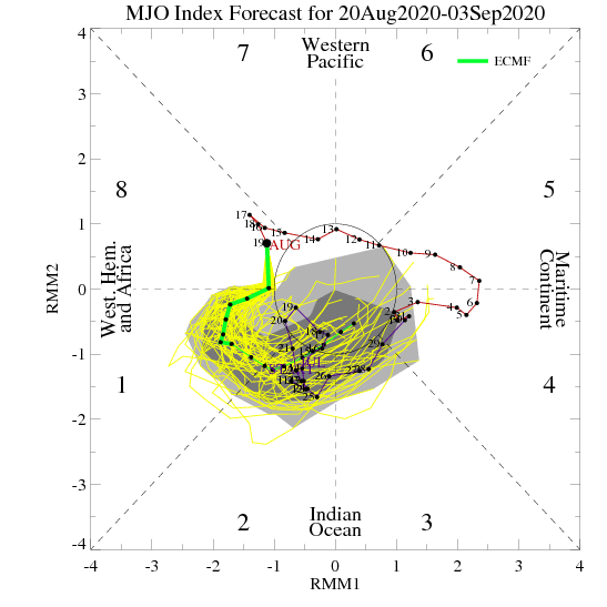
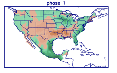
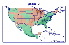
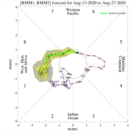
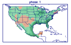
After data aligned in handling the MJO movement into early May, disagreement has returned, and we’ll need to keep a close eye on this. Hopefully, by the time we release our official May Outlook (next week), agreement will return.

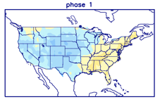
If, indeed, we do get things into Phase 4 (such as the GEFS shows), a warmer pattern should emerge towards the end of the 1st week of the month. Again, we’ll monitor these trends closely.

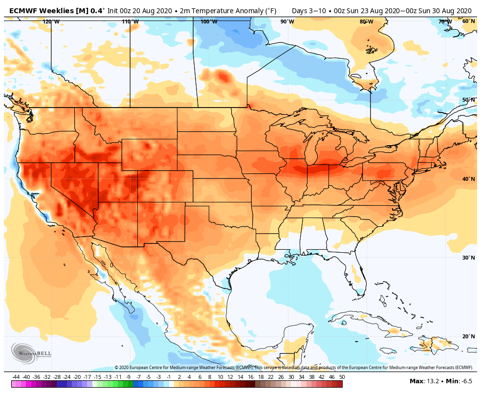
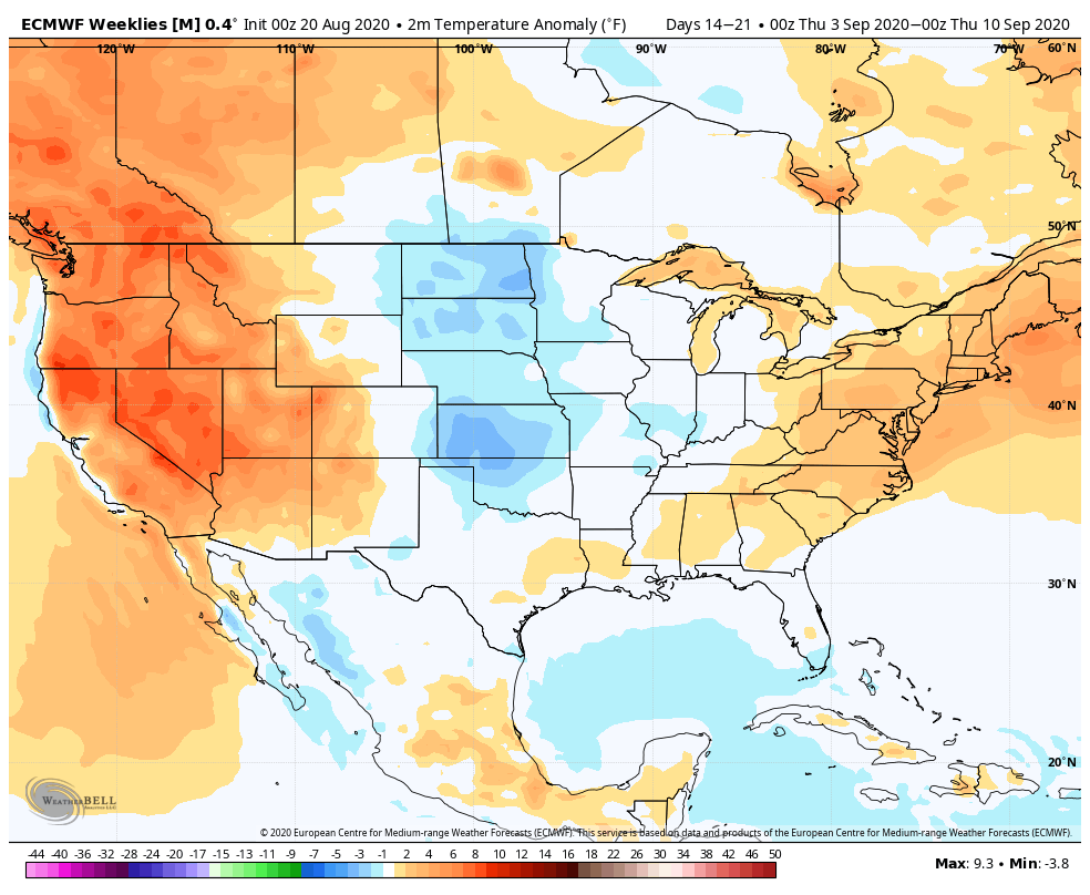
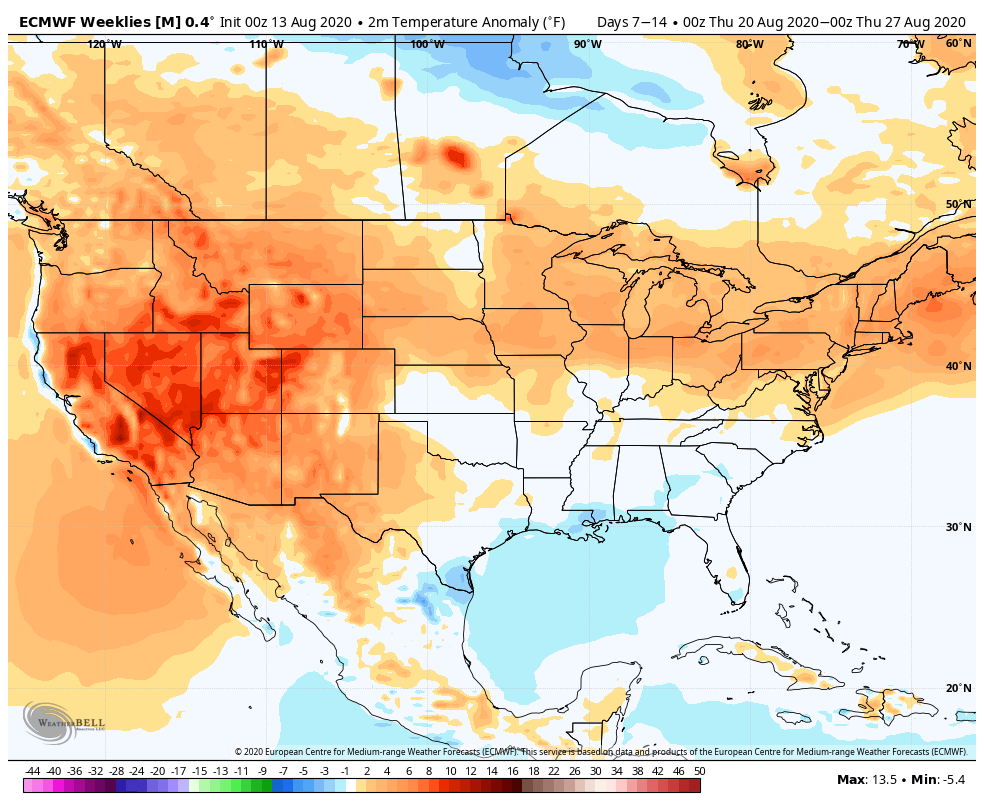
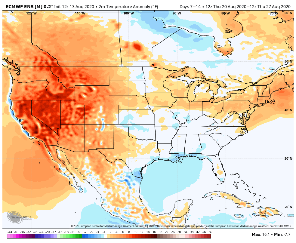
The latest European Weeklies remain cool into mid-May.

Apr 23-30
May 1-7
May 8-14

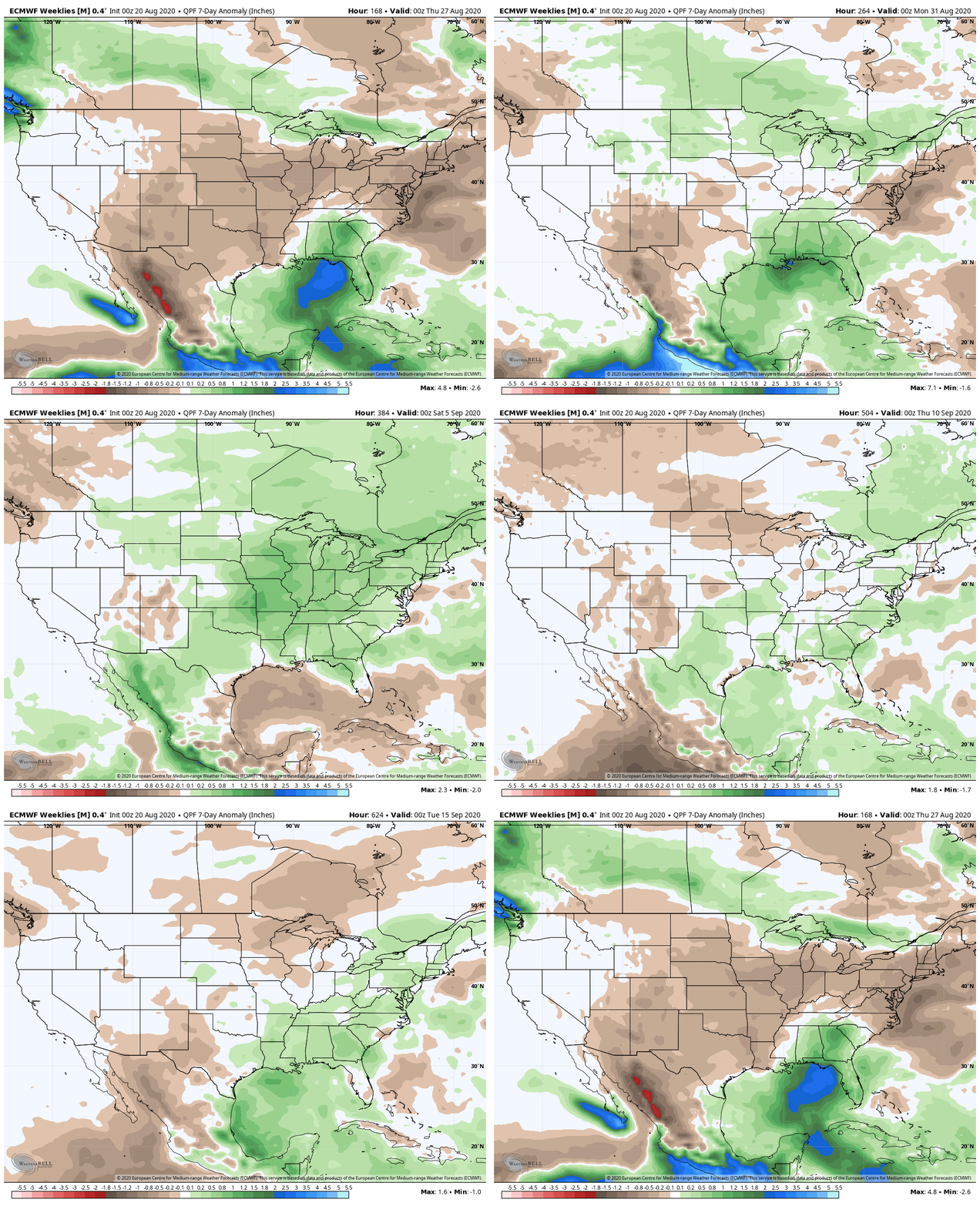
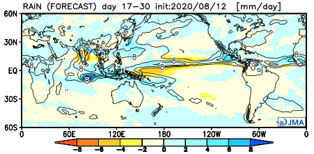
After the recent dry stretch through the majority of the month, the pattern should transition towards a more active/ wetter than normal time of things over the next 2-3 weeks.

Weekly #AGwx And #Severe Outlook…

Weekly Highlights:

I. Another significant severe weather outbreak is expected across the Gulf Coast region Sunday into Monday.

II. An area of low pressure will bisect the country midweek, delivering widespread rain and thunderstorms to the Ohio Valley and offering up another threat of severe weather Wednesday-Thursday for the TN Valley into the Deep South.

III. A 3rd system will track out of the northern Plains and begin to affect the Ohio Valley next weekend with increased showers and thunderstorms.

Wettest anomalies this week will be confined to the lower MS Valley, Deep South, and immediate East Coast.
Chilly weather (compared to normal) will continue to dominate the Great Lakes into the southern Appalachians and East.
Across immediate central Indiana, we’re expecting rainfall totals of 0.75″ to 1.25″ between now and next Saturday morning.
Unfortunately, another significant severe weather episode is expected across the Gulf Coast region on Sunday.

Forecast Period: 04.18.20 through 04.25.20

High pressure will build into the region today and supply a return of beautiful weather conditions. Albeit still cooler than normal, vastly improved weather conditions are on tap compared to the rain and snow of the past couple of days! Enjoy, friends!

A couple of weak and fairly moisture-starved cold fronts will give our immediate area “glancing blows” through early week. Scattered showers are all we can expect with these fronts Sunday and Tuesday. (Greater impacts from precipitation and cooler air can be expected off to our northeast with these fronts).

As we head into the back half of the forecast period, a couple of more significant storm systems will offer up better rainfall coverage, including the opportunity for thunderstorms Thursday into next weekend. We’ll keep an eye through the week on the potential of some stronger storms during this period, but as things stand now, the greater risk for severe appears to be off to our south.

One additional note- frost/ freeze conditions are possible Tuesday night into Wednesday morning across central parts of the state with overnight lows falling into the lower 30s.