Monday Morning Rambles: Unsettled Open To The Work Week Gives Way To Pleasant Midweek Airmass…
Updated 08.14.23 @ 5a
I. We’re tracking (2) cold fronts this week. The first will cross Indiana later this evening. Showers this morning will be most numerous across the southern half of the state and through east-central Indiana.
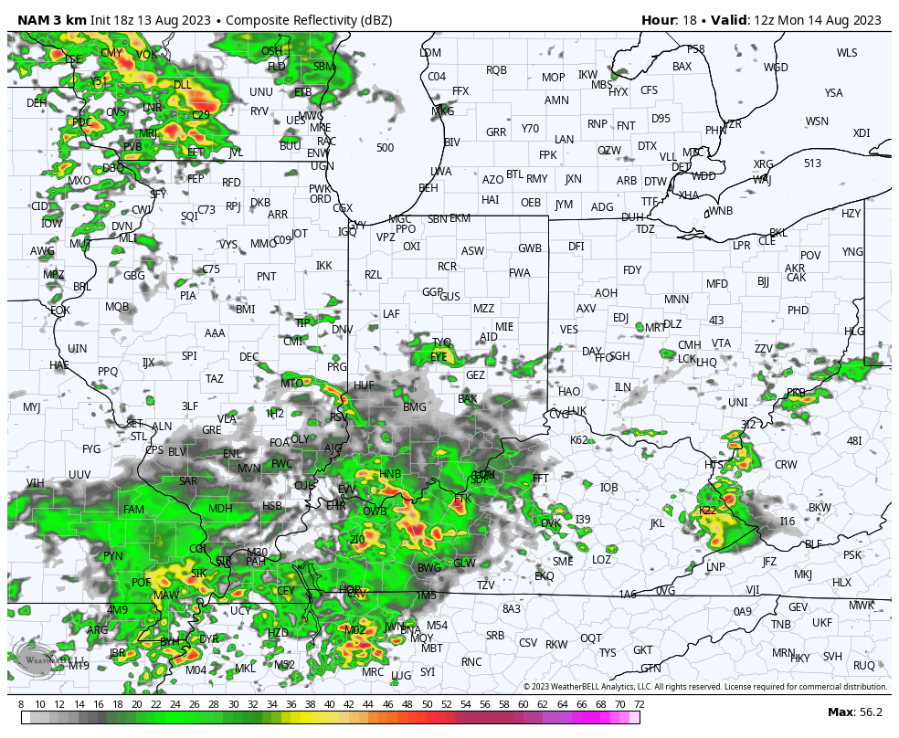
A new round of scattered storms, some of which will produce vivid lightning and gusty winds, along with locally heavy rain, will fire up ahead of the boundary, itself, later this afternoon and evening.
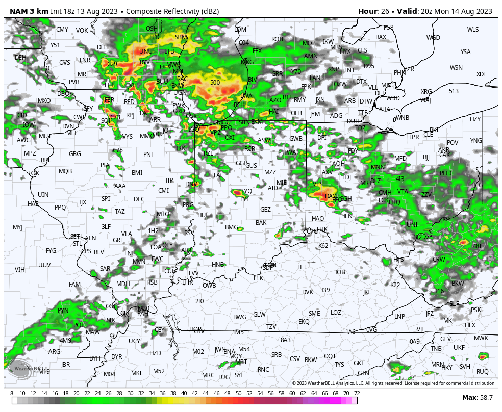
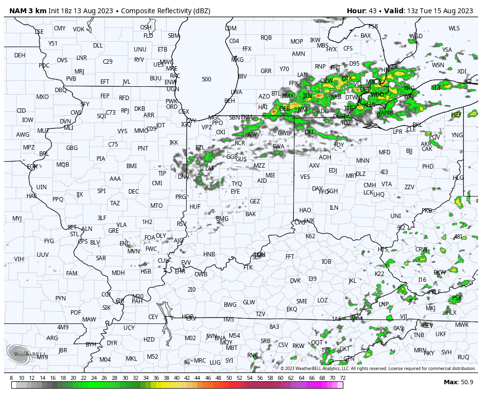
A few light showers will linger Tuesday before a much drier airmass takes hold. Cooler air will filter into the state Tuesday along with a gusty breeze at times.
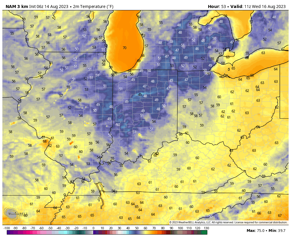
II. Speaking of drier air, how’s dew points into the 40s sound by Wednesday morning?! Are you kidding me? Not bad at all by mid August standards…

A few folks outside of the city, especially across north-central IN might even fall into the 40s to start the day Wednesday. A hint of fall, indeed…
III. The next in our series of cold fronts has it’s eyes set on our region Thursday evening. After a nice start to the day, we’ll need to watch for the potential of strong to severe storms firing up by Thursday evening ahead of the boundary. We’ll closely monitor this threat over the next couple of days and provide future updates.
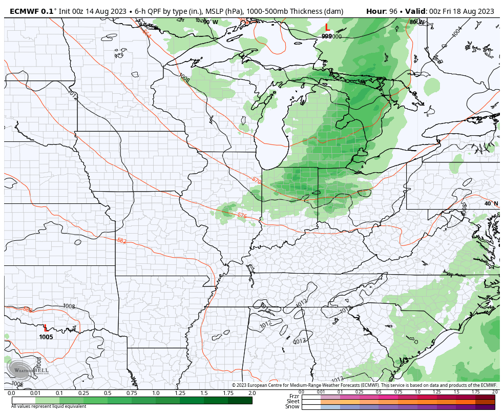
As of now, it looks like dry weather will return to close the work week, including right into early parts of next week. Unseasonably cool and refreshing temperatures will give way to a warming trend Week 2…