Tuesday Morning Rambles…

Updated 01.23.24 @ 7:11a

Overall, we don’t have any changes to our ongoing ideas from last night’s video. If you didn’t have an opportunity to catch that, we encourage you to do so as it highlights our medium and long range thoughts in more detail.

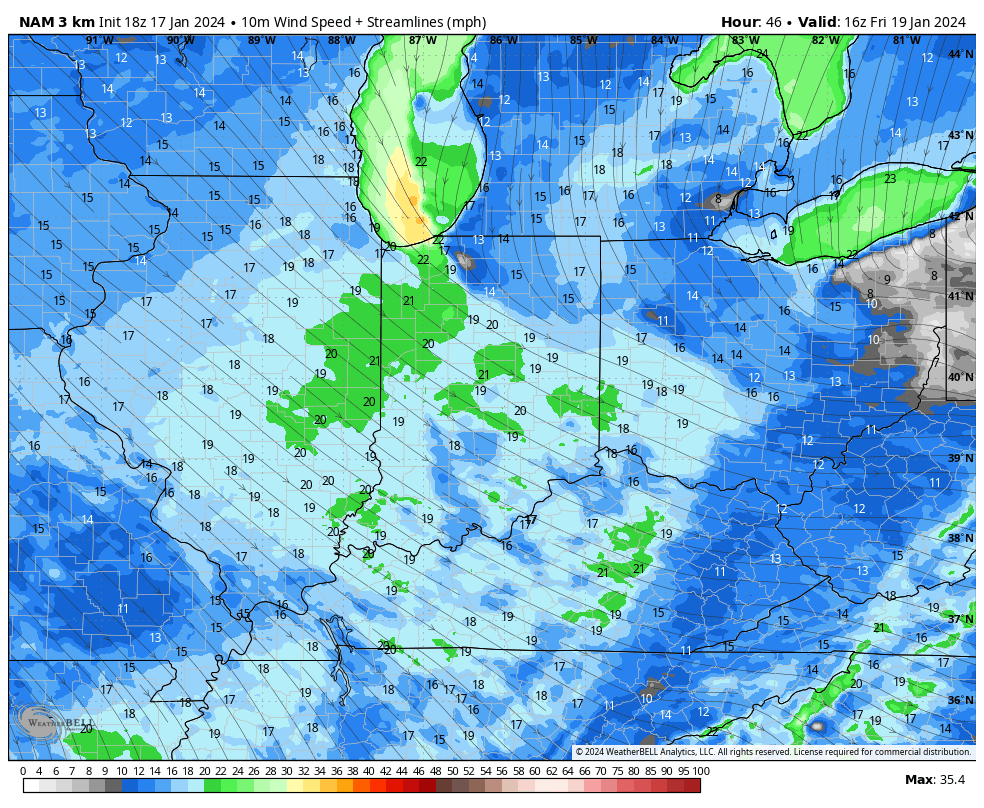
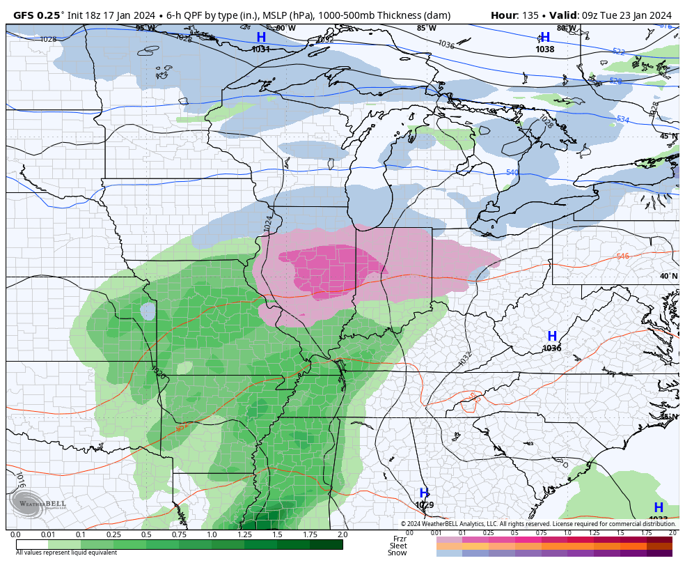
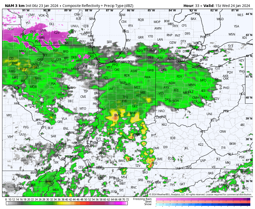
The focus will change from one of ice to periods of rain (and dense fog) through the remainder of the week. We note multiple waves of more widespread rain that will ride into central Indiana over the next few days. While it won’t rain the entire time, an extended period of gloomy conditions will unfortunately be with us as we navigate the next few days and kick off the weekend.

Periods of rain can be expected through the remainder of the week.

Speaking of the weekend, we continue to closely monitor an area of low pressure that appears to take a classic track for a heavy snow dump around these parts. The problem? Cold air is fleeting and it’ll take the perfect combination of track, timing, and precipitation rates to generate anything meaningful from a wintry standpoint, locally. As of now, we favor this “sweet spot” to lay just north of our immediate area, but we’ll continue to closely monitor.

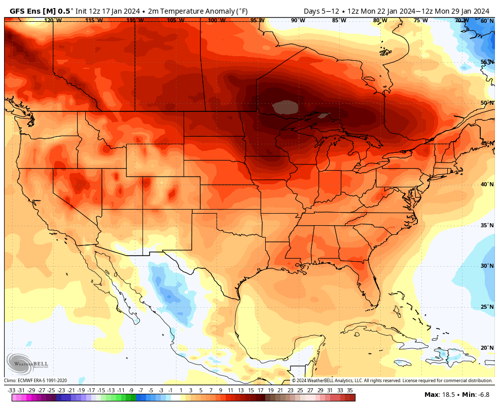
That brings us to our final point this morning and that’s wanting to ensure we drive home the idea here of an overall milder to significantly milder than normal pattern over the upcoming 10-14 days as a whole. While we’re incredibly bullish on winter’s return, we’re equally as impressed by this overall milder signal in the short to medium term.

Evening Update: Snow/ Wind Trends, Icy Setup Early Next Week, And More On The Pattern Flip Ahead…

Updated 01.17.24 @ 5:22p

While we’ll still contend with a couple of rounds of accumulating snow to close out the work week, latest model guidance is trending drier with both systems- at least across most of central Indiana. The Thursday morning snow band will lead to a couple inches of powder across north-central and northern IN tomorrow morning, but the majority of this band should fall apart before reaching Indianapolis. We’ll continue to keep close eyes on overnight trends, but travel impacts aren’t likely until once north of Kokomo as of now tomorrow morning.

The next round of snow will arrive Thursday night- now likely well after the evening rush hour. While this still doesn’t appear to be a particularly heavy event (2″-3″ north of Indianapolis, including northern ‘burbs and 1″ to 2″ from Indy and points south), the cold surface will allow this light snow event to create slick road conditions overnight and into our Friday. Snow removal clients, we still recommend planning to activate salting and plowing overnight and through Friday.

We also continue to closely monitor a localized, but heavier snow band that will likely oscillate through a portion of central Indiana through the afternoon Friday. Localized heavier snow accumulations and gusty winds will be associated within this snow band and we’ll have to treat this more as a “nowcast” situation once that LES band gets organized.

Even outside of this LES band, gusty northwesterly winds of 20-30 MPH will lead to considerable blowing and drifting snow, especially on west-east roadways and in the open country. Drifting and blowing snow will continue through Saturday in these areas.

After another bitterly cold weekend, a significant warming trend will get underway next week. That’s not before we likely have to deal with a round of freezing rain Monday night and into Tuesday. Many times, forecast guidance can be too aggressive in dislodging true arctic air and I’m afraid that will be the case in this instance. Today’s trends have likely started to pick up on this icy threat to open the work week and while we likely aren’t talking about a true ice storm, travel impacts should be expected Monday night into Tuesday morning before we transition to a plain ole rain event.

A freezing rain event is becoming increasingly likely Mon evening into Tuesday.

Thereafter it’s “game, set, match” for much milder, but wet times through the rest of the week and on into next weekend.

Sunday Morning Rambles From The Deep Freeze…

Updated 01.14.24 @ 7:13a

Hoosiers are waking up to subzero temperatures this morning. We note double digit below zero readings now penetrating into northwest parts of the state. Wind chill values are dangerously cold.

Highs today will barely sneak into the single digits as the true arctic air mass continues to have a tight grip on the region.

Some light snow may scoot through the area Monday evening into Tuesday morning. This won’t amount to much even if it does materialize. (Dusting to half inch of snow if that).

The next opportunity for potentially more meaningful snow arrives late week – in the Thursday PM through Friday timeframe, preceding another intrusion of bitter arctic air to open next weekend.

For folks longing for milder times, hang in there. A pattern change still seems afoot come late month. This January thaw may even take highs back into the 40s and 50s ahead of a reloading of cold times as we flip the page to February.

The Arctic Hounds Lurk…

Updated 01.05.24 @ 5:13p

High latitude blocking will continue to mature over the upcoming 6-10 day period. This will force a very stormy pattern underneath (across the Lower 48). After the light snow late tonight and Saturday morning (primarily grassy and elevated surfaces), we’re tracking 3 additional storms over this particular time period and each of these will deal out their own respective challenges that we’ll have to hone in on as the system(s) draws closer. Our daily posts and Client videos will handle those specifics.

Storm dates:

  • I. 01.08 – 01.09
  • II. 01.11 – 01.13
  • III. 01.14 – 01.15
A stormy pattern will eventually give way to bitterly cold, arctic air oozing east. The potential is present for cross polar flow to get going towards the 10-15 day period as well.

While we’re not looking at anything particularly noteworthy (in terms of relative to average) in the cold department over the next week, this begins to change by the 8-10 day period. Admittedly it’s been challenging trying to time when the arctic air sloshes east in this type pattern, but it’s becoming increasingly apparent that this should take place around mid-month. Note the cross polar flow developing towards the 10-15 day period, per this afternoon’s European ensemble update.

Just how cold are we talking? Subzero lows and highs around 10°F without a snowpack. Should we have a snowpack down by this time then the threat of a double-digit below zero low and highs in the single digits is on the table. The target date for this cold comes between the 14th and 18th. Wind chills will obviously be much colder.

The plot continues to thicken…

A bitterly cold airmass should engulf a large chunk of the country by mid-January.

Potential Is Mighty, But Can It Turn To Reality?

Updated 12.31.23 @ 4:13p

We’re heading towards a “special” pattern over the next couple weeks, especially for winter weather enthusiasts. The potential in the said pattern is mighty, but can potential become reality? Thankfully, we have a quiet open to the month to track all of the possibilities that begin to take their position this upcoming weekend.

It’s easy to become enamored with the expansive trough and coast to coast cold that follows in the 10-15 day range (by the way, truly bitter air should arrive during this period), but what’s more interesting to me is the building Greenland Block. That kind of block usually promotes all sorts of wintry “fun and games” here and across a large chunk of the country. It’s also note worthy as it tends to lead to more sustainable wintry conditions. Perhaps the “extreme and nothing in between” cold solution/ lean for the latter part of January may have merit?

While far too early for specific details, the stormy shift appears to be a good call with the initial storm taking aim on the region this upcoming weekend, followed by a second system that also has the potential of producing wintry weather the early and middle part of the following week. Simply put, the threat of winter storm(s) is growing over the course of the upcoming 10 days.

Details to follow in the week ahead!