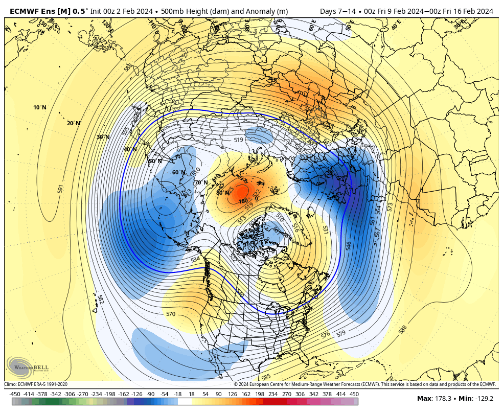
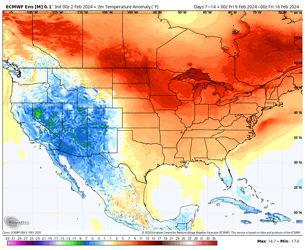
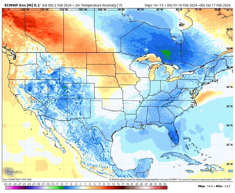
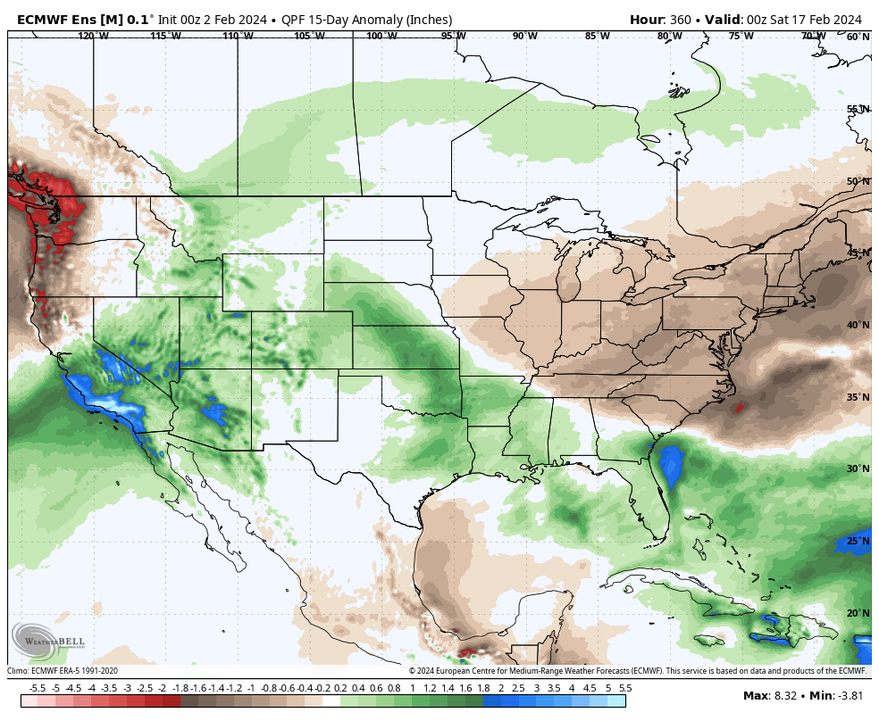
Lunchtime Rambles: Trends For The Weekend And Early Next Week…

Updated 02.07.24 @ 1:39p

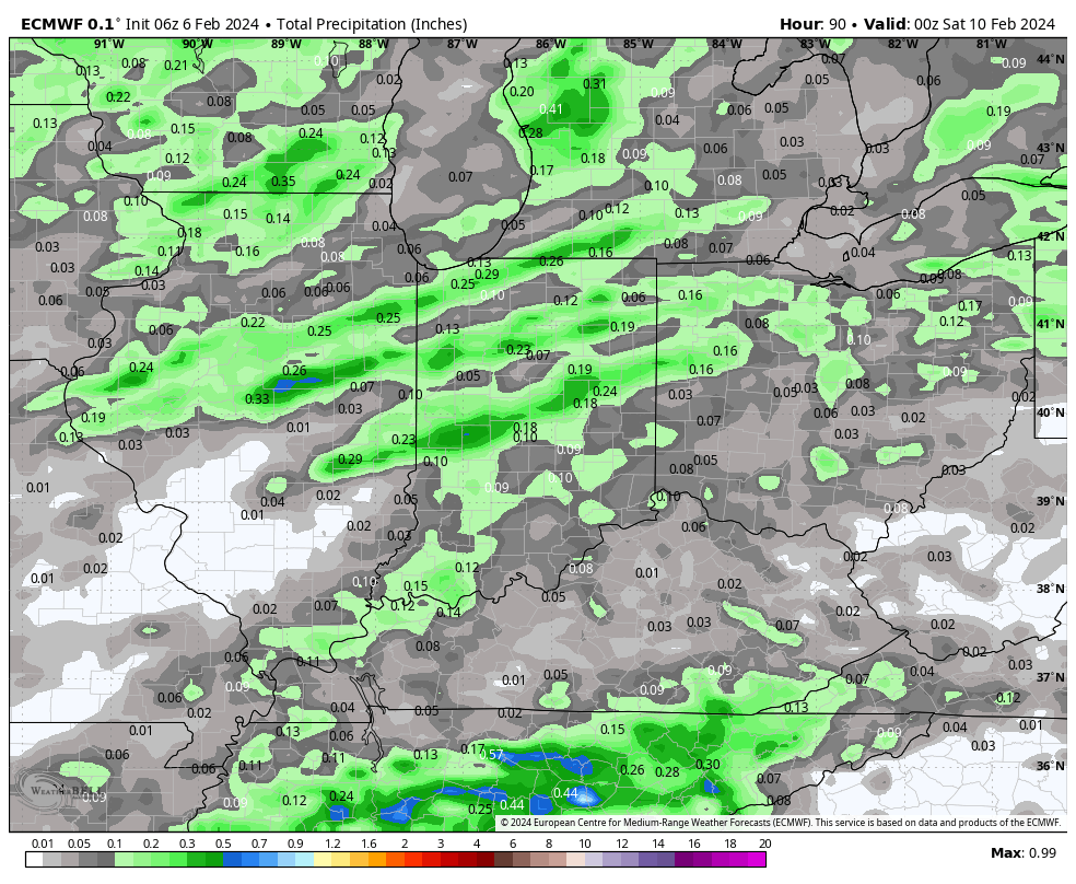
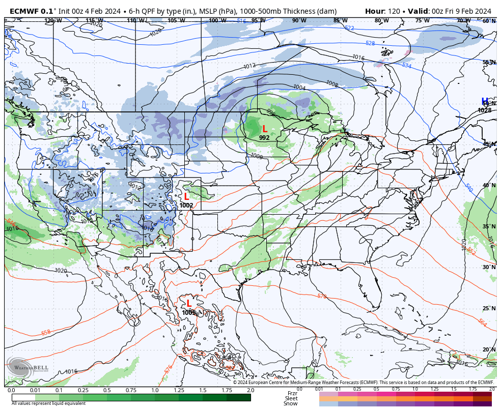
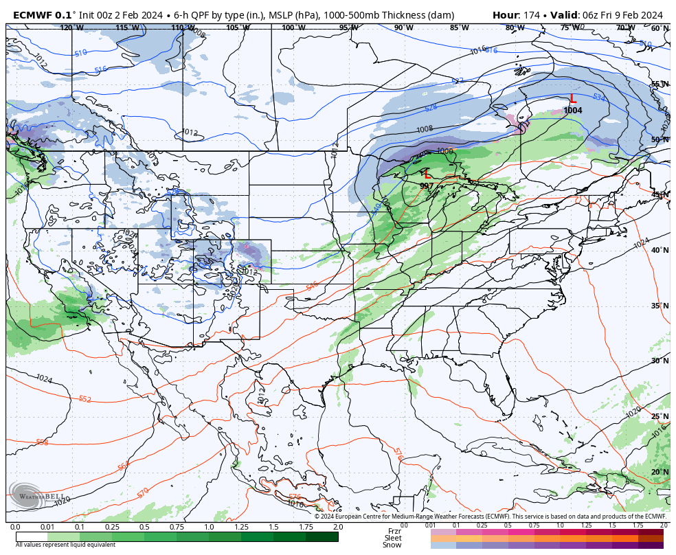
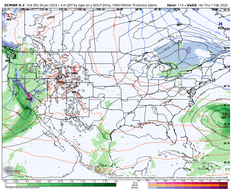
Today’s midday computer guidance is trending more bullish for trailing energy to deliver heavier precipitation across central IN and the Ohio Valley. While there are many more questions than answers with respect to precipitation type, confidence is increasing significantly that a period of more significant precipitation will come at us in (2) waves this weekend into early next week: Saturday and again Monday.

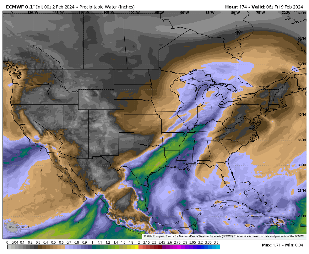
Today’s ensemble guidance (12z total precipitation GEFS and EPS shown below) is showing a northward adjustment in more significant moisture into the Ohio Valley over the weekend into early next week.


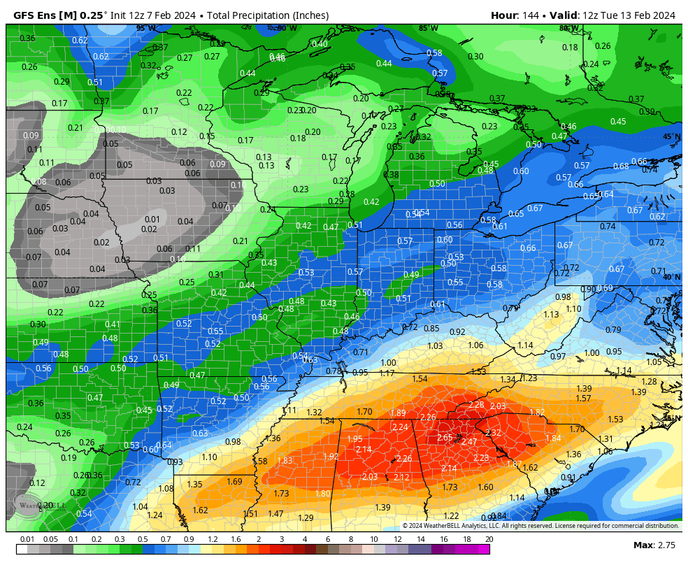
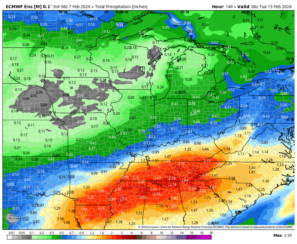
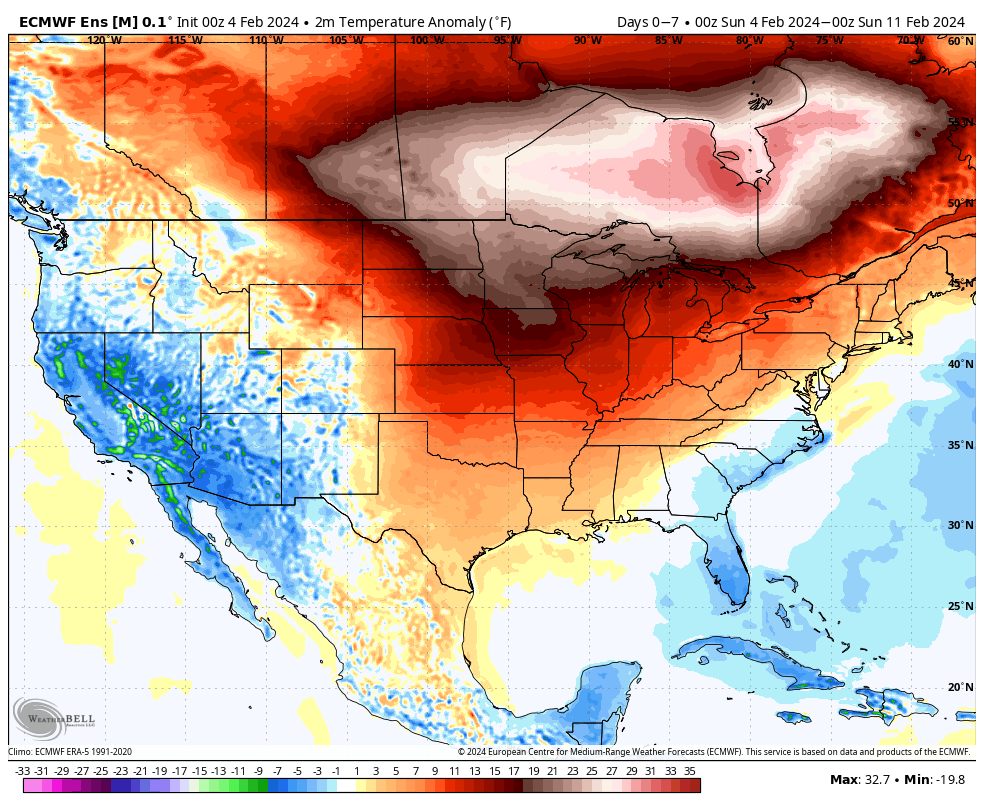
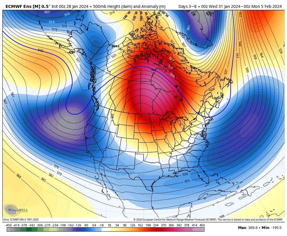
We’ll continue to closely monitor the trends over the next couple of days but as of now, we feel confident enough to hit the prospects of rain harder Saturday (still nothing overly heavy but certainly more than guidance suggested over the past few days) and another period of widespread precipitation to open the new work week on Monday. As colder air works into the region over the weekend, this secondary wave of moisture may feature more in the way of wintry conditions across at least a portion of the area. Far too early for specifics beyond this overall idea for this time period, but should wet snow work into the picture for some, the recent warm ground and marginal temperatures would likely limit pavement impacts. As colder air becomes more significant and entrenched down the road, winter weather headlines will likely become more frequent late Feb into March…

Tuesday Morning Rambles: Opportunity For Cross Polar Flow Late Month And Looking Ahead To A Renewed Active Pattern…

Updated 02.06.24 @ 5:27a

We’re pushing 6 days now since our last measurable precipitation and that unusually calm, boring stretch of weather will continue for a couple more days. Despite some low clouds at times, expect our quiet and unseasonably mild weather pattern to continue. A late week frontal passage (FROPA) will pull a true taste of spring north into the Ohio Valley and lower Great Lakes Thursday into Friday. We still don’t anticipate this being a significant precipitation maker for central Indiana.

A secondary (much stronger) low pressure system will ride along this pressing boundary and impact areas to our east (and south) with heavier precipitation over the weekend into early next week. The southern Appalachians once again may “cash in” on a hefty snow event.

This more active period comes as a wholesale pattern change gets underway with a significantly colder air mass aimed to overwhelm much of the Lower 48 as we push into next week.


We note longer range models showing cross polar flow setting up late February. To no surprise, the ante is upped for the threat of a period of significant cold prior to month’s end.

We’ll watch for the threat of new winter weather opportunities to emerge during this colder pattern down the road.

Mild Week Ahead; More Prolonged Cold Pattern On The Table?

Updated 02.04.24 @ 8:55a

An unseasonably mild and quiet week is on tap. We aren’t forecasting rain to return into the picture until late week and the upcoming Super Bowl weekend. Highs will likely flirt with, if not exceed, the 60° mark Friday ahead of a frontal passage.

An unseasonably mild week is on tap.
Highs will flirt with, if not surpass, the 60° mark Friday.

After Friday’s FROPA, we’ll watch the trailing, more significant piece of energy impact the Ohio Valley next weekend. Obviously, it’s far too early to determine if we’re talking about more rain and/ or snow, but the initial hunch here is that this should be primarily a liquid event, despite the snowy solution on the overnight European model. We’ll watch carefully in the coming days.

The more active pattern late week and over the weekend is a signal that the pattern is changing. Once again, we believe that we’re heading into more of a prolonged version of what we dealt with in January, thought the jury is still out on the extreme solutions on the table with respect to just how cold (should we get into Phase 8 of the MJO then look out). As it is, the teleconnection suite aligning in a manner that they are is reason enough to be fired up on an all-out return of winter for mid-February. The forecasted strongly negative NAO (North Atlantic Oscillation) provides us with a greater than normal confidence level that this cold pattern will have staying power not only through the remainder of the month, but into the 1st half of March (at least).

Latest long range modeling highlights the prolonged nature of the cold pattern:

Temperature anomalies Feb. 17 – Mar. 20

Make it a great Sunday, friends!

Friday Morning Notes On The Pattern Ahead…

Updated 02.02.24 @ 7:37a

We don’t see any reason to deviate from the longstanding ideas on the overall pattern evolution ahead. February will continue to provide an unseasonably mild and quiet stretch through the first 1/3 of the month ahead of a pattern transition back to colder around or just after 2/10.

2/2 – 2/8

2/9 – 2/16

Note the ridge begins to break down across the East during the Week 2 period above. This is the transition to colder times, locally, as heights begin to build across western Canada and the northeastern Pacific. By mid-month, we’re talking about an entirely different pattern as a trough continues to deepen across the East along with unseasonably cold air become more entrenched.

In the shorter term period, not only are we talking about unseasonably warm temperatures (it’ll push 60°+ here late next week) but also incredibly quiet weather. In fact, we aren’t looking at another opportunity for measurable precipitation until next Thursday.

A warm front and trailing cold front will return a round of unsettled weather (rain and even thunderstorm potential) here as we get set to close the work week next week. More on expected rain coverage and amounts as we get into the weekend and next week.

A Quieter Pattern To Close January; Open February…

Updated 01.28.24 @ 7:07a

The narrow but more organized band of locally moderate-heavy precipitation failed to materialize overnight. The result is a busted snowfall forecast. Sure some are dealing with wet snow this morning, but the type of precipitation rates weren’t achieved to cool the entire column of air enough to allow the accumulating snow axis of 1”-2” to materialize.

Regardless of what type of precipitation you’re seeing this morning, this will all pull out of the state around lunchtime. Western portions of Indiana will dry out much sooner.

We’ll be left with blustery conditions today, including north, northwest winds that will reach speeds north of 30 MPH at times.

Expected wind gusts of 30+ MPH through the afternoon

With all of this said, the great news is that the balance of the upcoming week (into next weekend) will be significantly quieter around these parts when compared to this past week. We’ll watch a clipper system that will likely deliver a cold rain and/ or a wintry mix Tuesday morning into the afternoon but this shouldn’t be a big deal across central Indiana.

That’s all she wrote on the precipitation front heading into next weekend. Heights will build over Hudson Bay (Hudson Bay block) this week and force a more active pattern to our south late week. While we’ll have to continue monitoring the potential of interesting times to our south (lower Ohio Valley, TN Valley and Deep South) going into Friday and the weekend, this upper air pattern should keep our immediate weather much quieter, aside from a “back door” cold front that will pass through here dry. We will certainly notice a much colder time of things developing during this period, along with gusty winds at times.


Looking Ahead: The overall pattern should feature a milder than normal regime (as a whole), along with drier than average conditions to close January and open February.

Week 1

Jan 28-Feb 3

Week 2

Feb 4-10