September: Where We’ve Been And Where We’re Going…
Month-to-date, September has been a warm (+3.5 degrees) and wet (+1.17″) month across central Indiana.
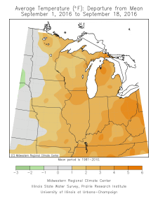
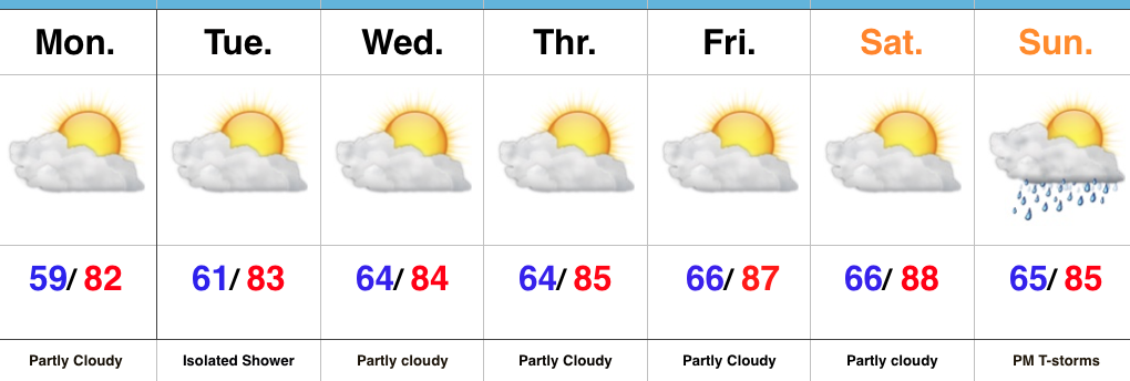
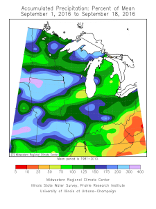 The warmth continues in the days ahead, but we’re going to run much drier, overall, as strong ridging remains the dominant factor through late week.
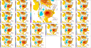
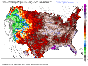
 The past (90) days have featured hefty rains across the Mid West.
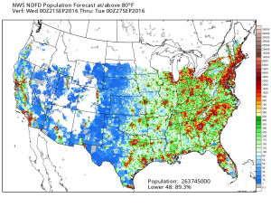
 Late season heat will grip most of the east over the upcoming (7) days. Note those population areas (nearly 90% of the lower 48) to experience at, or above, 80 degree heat between now and next Tuesday. Even areas into the Lakes and New England get in on the late summer feel.
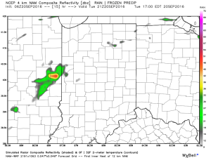
 In the shorter term, an isolated shower is possible this evening, but most should remain dry as the air is very dry across the region.
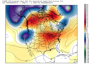
 The upper air pattern features strong ridging over the central and east over the upcoming several days. A cold front and associated trough will deliver cooler air by the early to middle part of next week.
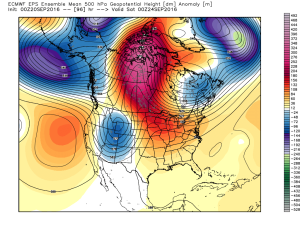
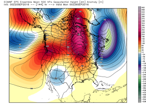
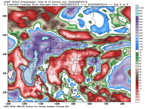
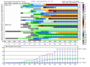
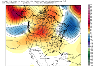 In between the warmth and pending cooler, more fall-like, air will be a round of scattered showers and thunderstorms early next week. Modeling differs on precipitation amounts, but, as of now, heavy rains aren’t looking likely.
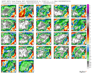 As mentioned, early to middle parts of next week should feature temperatures much closer to where we should be this time of year, if not a few degrees below average.
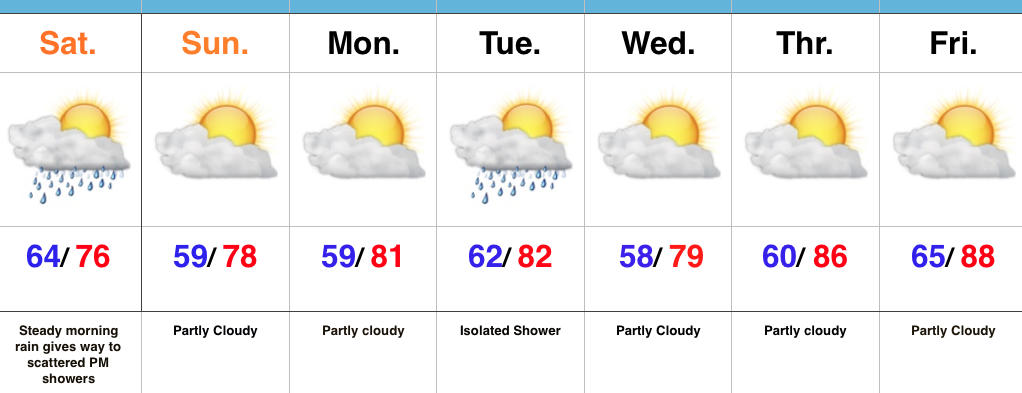
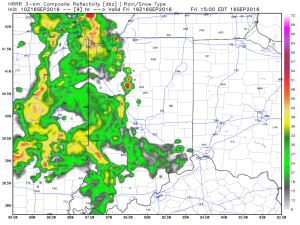 Periods of scattered showers and thunderstorms will continue Saturday. The good news? After the initial round of showers this afternoon, most high school football games could very well be dry tonight.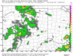
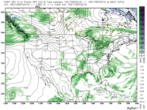 It won’t rain the entire time Saturday, but scattered storms are a good bet through the day. Some locally heavy rainfall is likely, but rain amounts won’t be uniform. On average 0.75″-1″ is a good bet.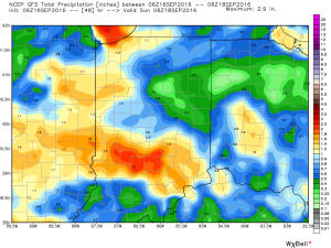
 Sunday will be the pick of the weekend as high pressure builds in and supplies a drier air mass. Flipping the page to next week, the big story will be a late season push of summer heat followed by a significant cold front next weekend. Behind this front, a true push of bonafide autumn air will push in. Sweaters and jackets will likely be needed as we put a wrap on September…