Welcome To October…
 Highlights:
- Improving weekend weather
- Dry, warmer open to the work week
- Strong late week cold front
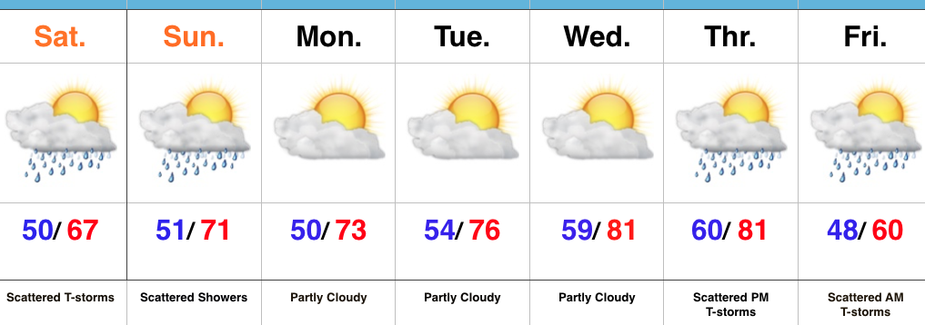
Slow Improvements…The “cut off” upper low that’s plagued the region for the past few days will slowly begin to lift north this weekend. Eventually it’ll get absorbed into the westerlies and get outta’ here! The end result will be a slowly improving weekend. Rain coverage will be greater today than Sunday, but less than Friday! 🙂 Slow moving showers and embedded thunder will be most numerous this afternoon before slowly diminishing tonight. While we’ll have to maintain mention of a shower Sunday, most folks will remain dry.
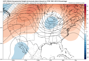
The work week will get off to a dry start along with moderating temperatures. Highs by mid week will reach the lower 80s as a southwesterly air flow dominates ahead of an approaching strong autumn front.
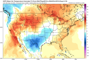
While timing still needs to be fine tuned, we’re focusing in on the cold front passing through central IN Friday morning. Ahead of the boundary, scattered showers and thunderstorms can be expected followed by an abrubt NW wind shift and a MUCH cooler air mass for the weekend. Speaking of cool, it wouldn’t surprise us to see some neighborhood lows into the upper 30s next weekend.
It is October, after all…
Upcoming 7-Day Precipitation Forecast:
- Snowfall: 0.00″
- Rainfall: 0.50″ – 0.75″ (locally heavier totals)
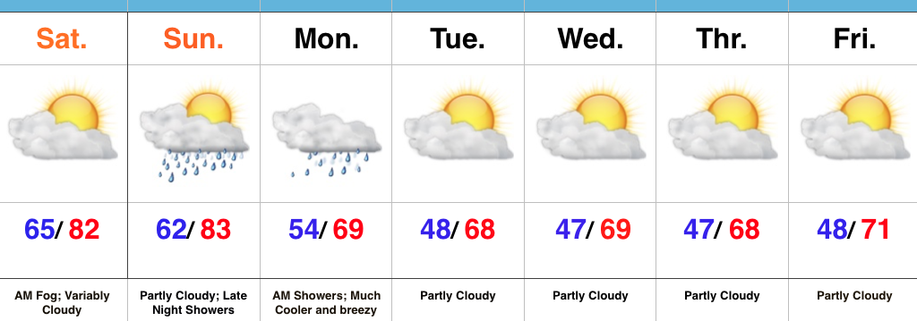
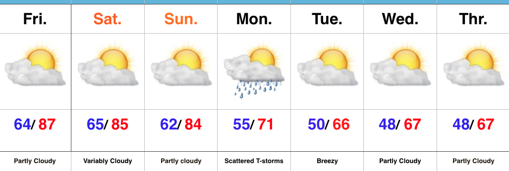
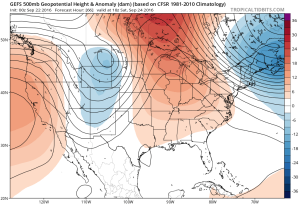 A “backdoor” cold front will approach the region from the northeast late in the weekend, but won’t have enough “umph” to push the drier, cooler air our friends across the northeast and mid Atlantic will enjoy our way.
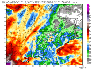
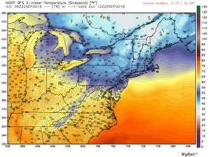 The evolution of the pattern from an unseasonably warm, dry regime to a much cooler, autumnal feel will, undoubtedly, feature showers and thunderstorms as we transition. Modeling continues to waffle back and forth in regards to rainfall totals. As of now, we’ll highlight Monday-Wednesday with increased rain chances.
 Thereafter, we turn MUCH cooler. Data suggests Tuesday-Friday features temperatures much more like we’d expect for late September. Lows in the 45-50 degree range, along with highs between 65-70 can be expected.