Election Day Showers; Unseasonably Chilly Weekend…
 Highlights:
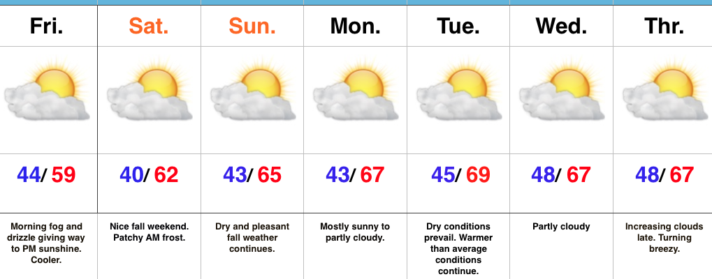
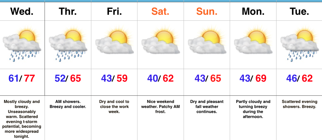
- Dry, mild open to the work week
- Election Day showers
- Freeze likely this weekend
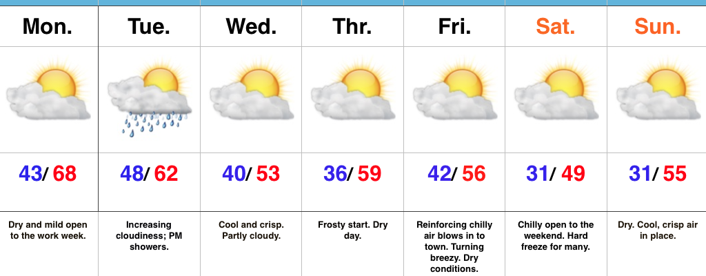
Enjoy Today; Changes Loom…High pressure will supply a beautiful open to the work week, complete with plentiful sunshine and highs close to 10 degrees above normal. Find a way to get outside and soak in this pleasant late-autumn weather!
A cold front will sweep through the state on Election Day. The day will open dry, but a band of light showers will move through the state during the afternoon-evening. This won’t be a big event and “light” is the key word. Chilly air will filter into the area behind the boundary for mid week.
Speaking of chilly air, the coolest air of the season thus far is slated for a weekend arrival. Winds will shift to the north Friday evening and help usher in the season’s first freeze for many by Saturday morning (some upper 20s can be expected away from the city). Dry conditions will remain this weekend.
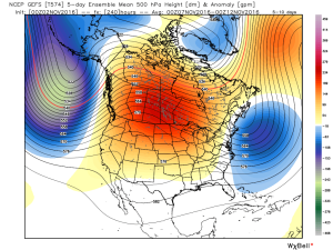
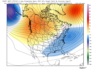
Looking ahead, plenty of “fun and games” await by mid-month…
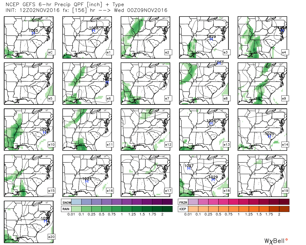
Upcoming 7-Day Precipitation Forecast:
- Snowfall: 0.00″
- Rainfall: 0.10″ – 0.25″