One More Mild Day; Old Man Winter Is Knocking On The Door…
 Highlights:
- Hold on to your hats
- Cold air returns
- Extended period of scattered snow showers; squall potential
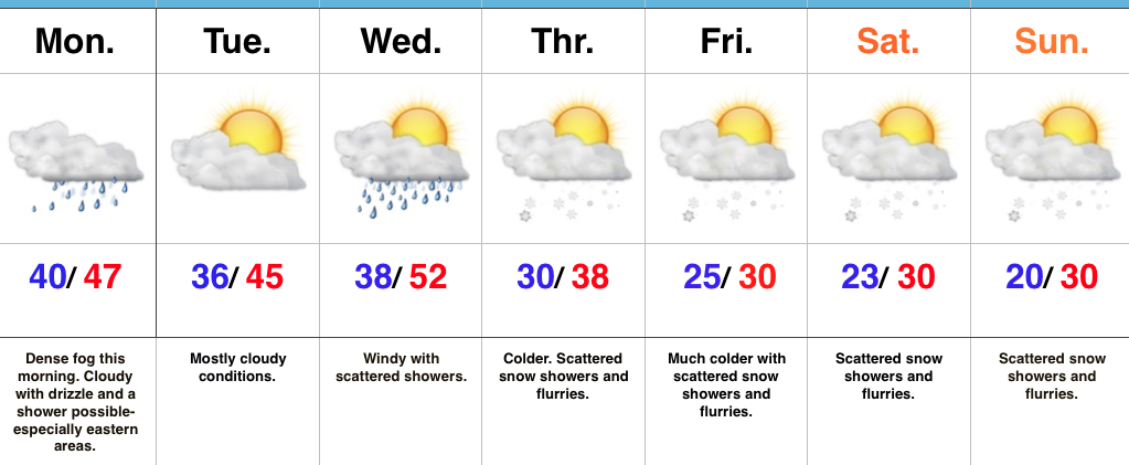
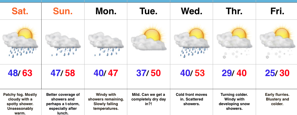
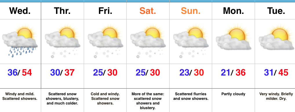
Changes Brewing…Wednesday will feature more of the same mild weather we’ve come to know and enjoy across the Mid West over the past couple of weeks. Despite the mild air, a storm system will result in scattered showers for our hump day, along with very windy conditions. Gusts of 40 MPH will be common across central IN.
Temperatures will fall late Wednesday and Old Man Winter is set to make up for lost time as we progress through the back half of the work week and on into the weekend. In addition, fast-moving upper level energy will push southeast in the active northwest flow aloft. Scattered snow showers will result, along with localized embedded heavier squalls. It certainly won’t snow the entire time, but passing snow showers will be a good bet from time to time Thursday through Sunday.
Our wintry pattern will relax briefly early next week, but renewed cold air appears poised to blow into town the middle of next week.
Upcoming 7-Day Precipitation Forecast:
- Snowfall: Dusting – 1″ (local 2″ amounts possible)
- Rainfall: 0.10″ – 0.25″
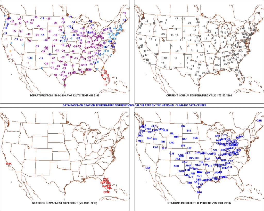 After the past week to ten days, that frigid open to the month seems like forever ago! The past 7-10 days has featured a significant January thaw, and temperatures now, MTD, are warmer than average across the Ohio Valley. Warmest anomalies can be found across the southeast region.
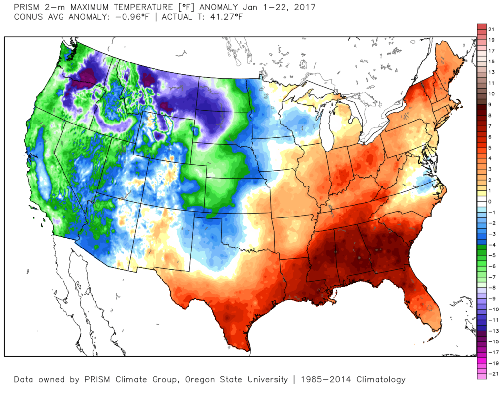 That said, the pattern is shifting back to winter for the last week of the month and while the duration, longer-term, can be argued, the next 2-3 weeks appear to offer an opportunity to play “catch up” in both the snow and cold departments. Note the developing eastern troughiness. This will bring colder air back into the east as we close January and open February. The GFS ensembles, courtesy of Tropicaltidbits.com, also develops an interesting “blocky” look towards the end of the period in Week 2. Should this verify, it would lead to a better chance of the cold, active pattern locking in.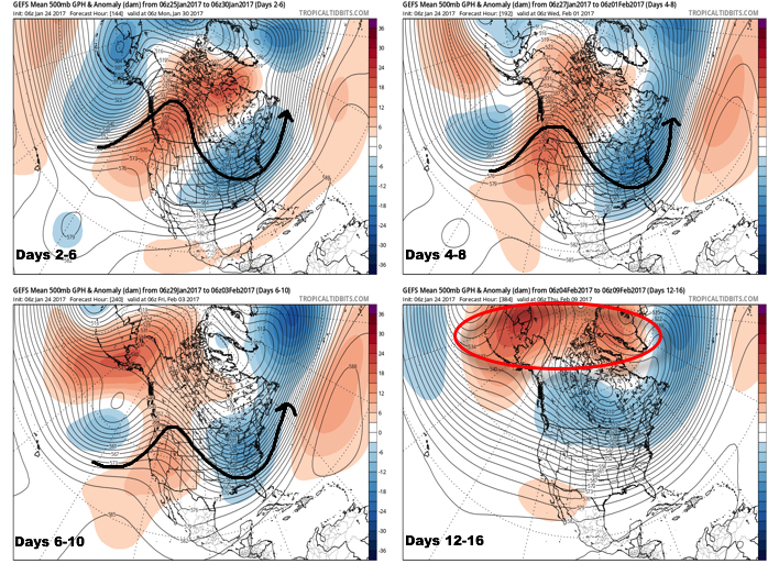
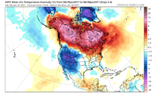
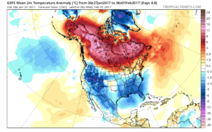
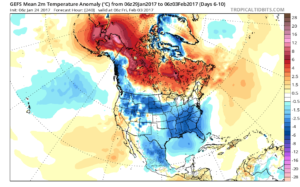
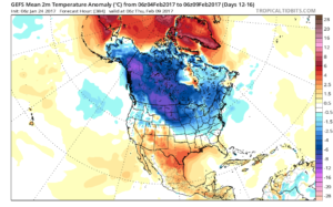
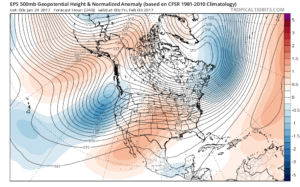
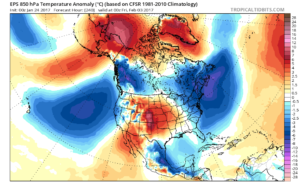 Thinking here at IndyWx.com believes the European is likely rushing the warmer central look. Time will tell…