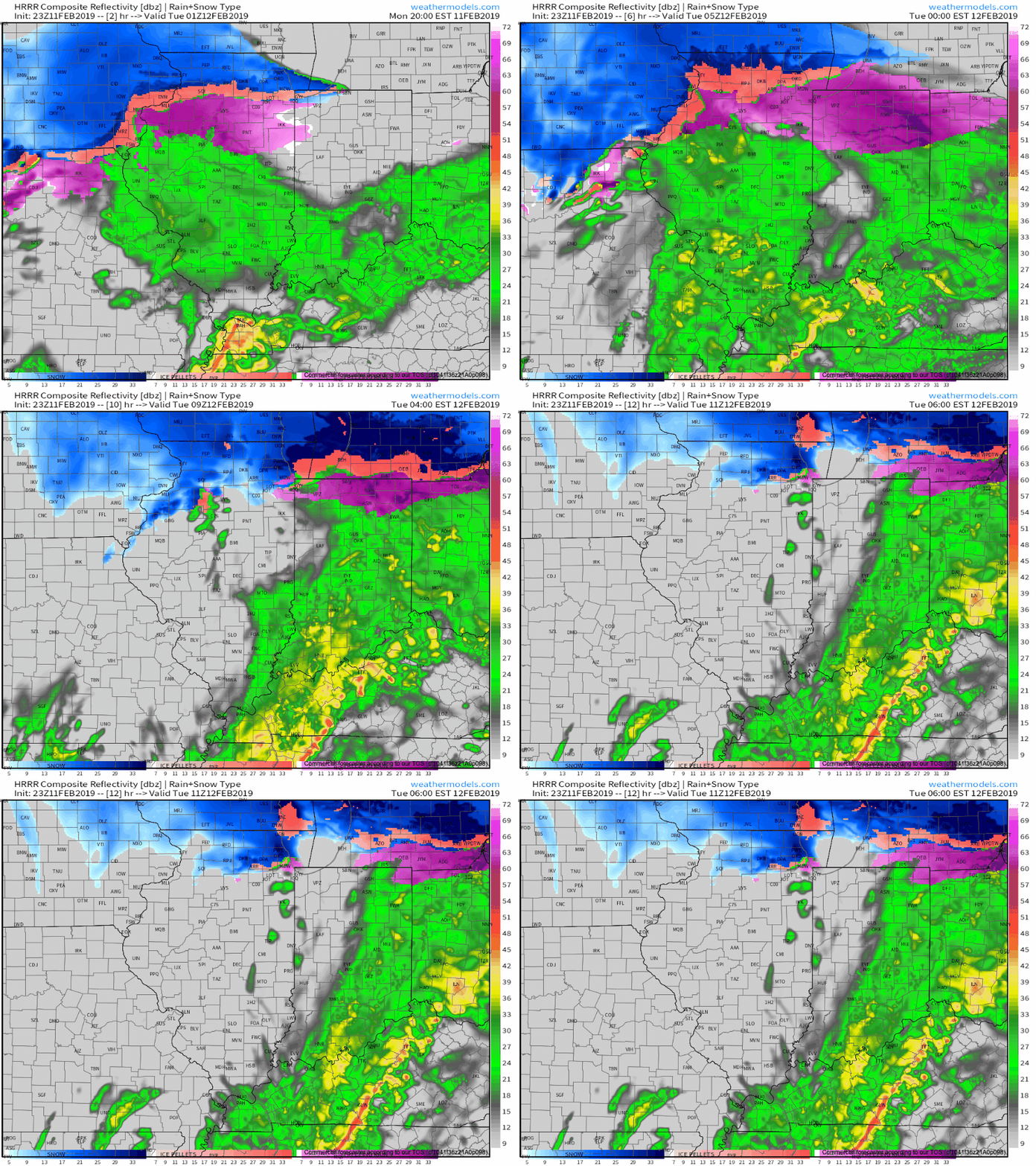
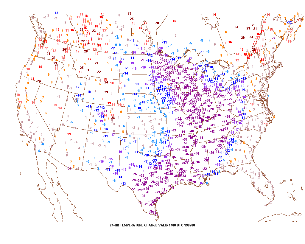
In the short-term, rainfall will increase in overall coverage and intensity as we progress through the overnight and on into Tuesday morning.
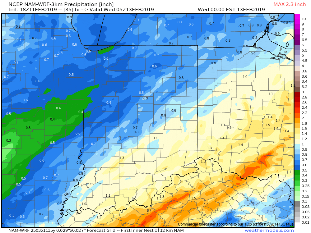
Most central Indiana rain gauges can expect to accumulate between 0.50″ and 1.00″ tonight into Tuesday morning. Heavier amounts will be found downstate.
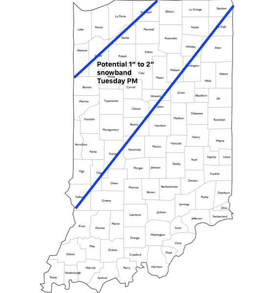
We continue to closely monitor the precise track of vigorous upper level energy that will result in a narrow, but more intense, band of snow Tuesday afternoon into the evening hours. While temperatures will be marginal, it wouldn’t shock us in the least by a wet 1″ to 2″ stripe of snow that’s laid down in a narrow southwest to northeast corridor and this will warrant close attention with subsequent model updates overnight. An early idea of where this may be is below:
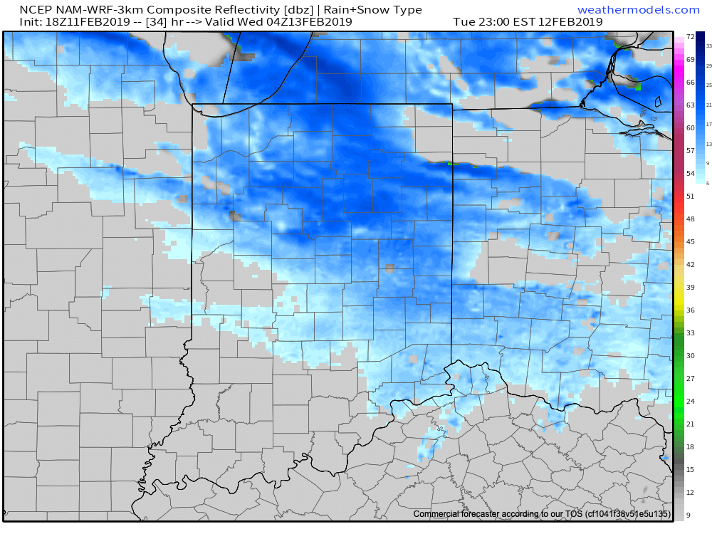
Regardless of where this potentially more significant snowband lies, all of us will get in on the “backlash” snow showers/ squall action Tuesday evening and night.
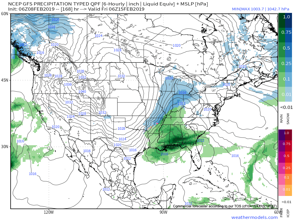
Looking ahead, continued active times loom. We’re tracking additional storms Thursday night into Friday and again over the upcoming weekend. Yet another storm is slated for an arrival early parts of the following week. As cold air continues to get more involved, these storm systems will be plenty capable of dealing out more in the way of wintry “fun and games,” but the pattern is “hectic” right now and each storm will have to be dealt with as they come. Understanding that it’s still in the 6-10 day time period, the storm early next week seems to have the greatest potential of widespread wintry implications of significance. This is given the overall pattern evolution away from the “transitional” period we’re currently in and squarely inside the cold/ wintry window we’ve been outlining from 2/18 through 3/10. Time will tell…
European Weeklies
The new European Weeklies show the cold currently confined to the PAC NW and northern Plains “spreading out” and encompassing a more widespread portion of the country- especially from the Appalachians and points west (but periodically making it as far east as the coast). The cold is forecast by the model to dive deep into the southern Plains and into the Southeast as we move into the latter parts of February into early March. Perhaps the biggest change from tonight’s update from Thursday is the idea that the cold will linger deeper into March than previously thought. (Please note this doesn’t change our current *official* idea of cold lifting by mid-month, but simply just rehashing model output). Let’s see if we can get some consistency to develop before altering our current forecast.
From a teleconnection stand point, the model does take the NAO neutral to negative late Feb into early March before returning things solidly positive by mid-month.