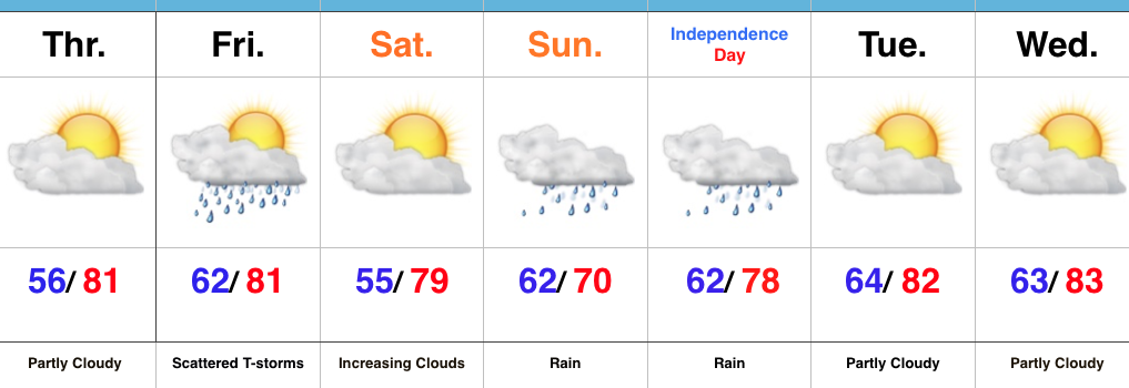
Friday Morning Rambles…
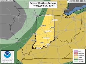
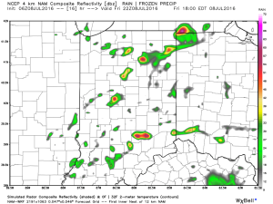
1.) We’ve got another warm, humid day dialed up and as a cold front moves in this afternoon, scattered strong to severe storms are possible. We think east-central Indiana stands the greatest threat at experiencing a severe storm later this evening.
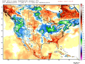
 2.) The aforementioned cold front will sweep through the state tonight and allow a much drier and cooler air mass to push in for the weekend. We’ll enjoy a downright pleasant feel this weekend, including lots of sunshine. Enjoy!
 3.) Dry weather should continue into early next week, but wet and stormy weather will return as early as Tuesday, continuing into the latter portions of the week.
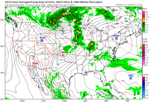 This is the start of what should be a rather wet period for mid and late month.
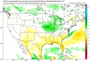 4.) This is also a continued “transient” pattern through the end of the month, meaning we really don’t see any sort of sustained dry, hot weather in the foreseeable future…
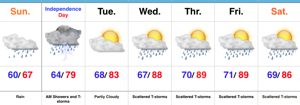
 Mid and high level clouds will spread over the region today, but we’ll stay dry. We’ll notice a lowering and thickening cloud deck by evening and this is a hint at things to come Sunday.
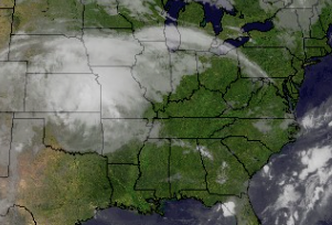 Rain will overspread the region Sunday morning, increasing in coverage and intensity as we progress into Sunday evening.
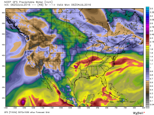
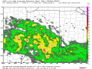 Rain will turn locally heavy at times and we expect a widespread swath of 2″-3″ totals through the heart of the state, with localized heavier amounts. Precipitable water values exceed 2″ across central and southern IN Sunday evening and will likely promote a flash flood threat.
 Most of the rain falls Sunday morning-Monday morning before drier air begins to try and work in here as Monday afternoon arrives. As of now, we think Monday evening firework shows should be a go!