 Highlights:
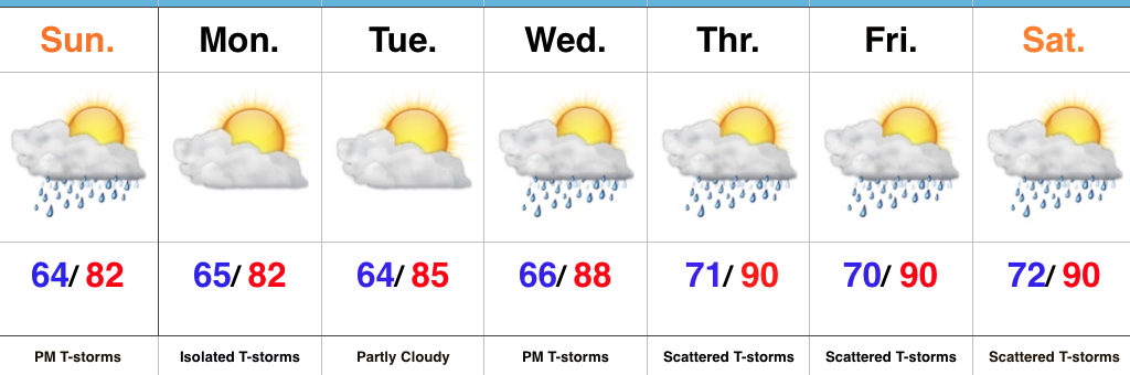
- T-storms arrive this afternoon
- Heating up this week
- Stormy periods late-week
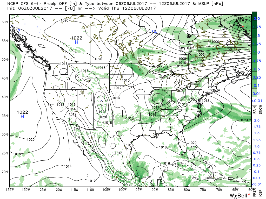
Pleasant Start; Stormy Finish…After we got rid of the low level clouds and fog Saturday, it turned out to be a gorgeous day! The balance of our Sunday will also be very pleasant, but a frontal boundary will push through the state this evening and will be sufficient enough to kick up a line of showers and thunderstorms that will impact central IN this afternoon and evening. One or two of the storms could reach severe levels (large hail and damaging wind).
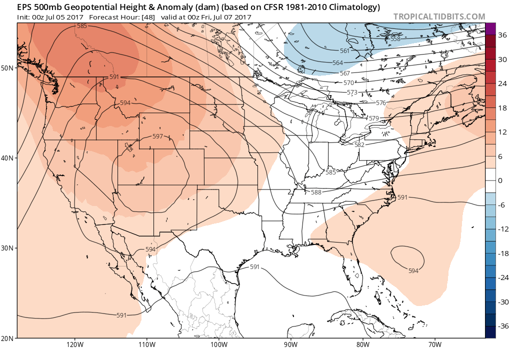
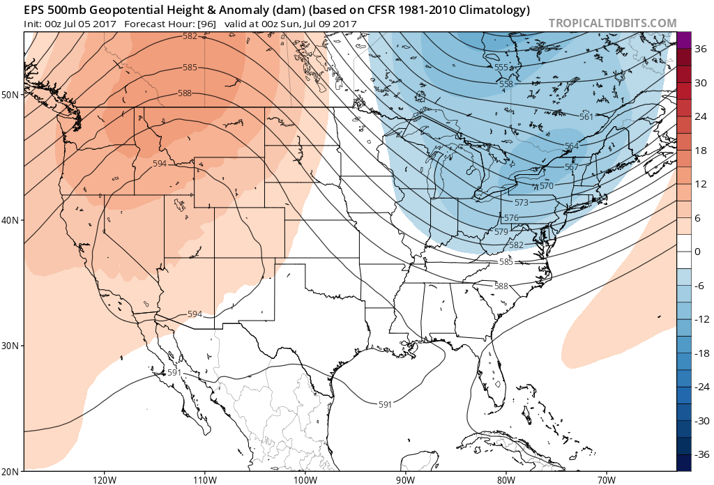
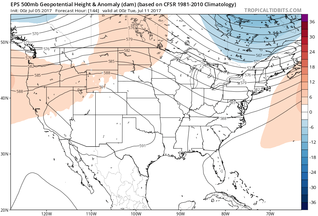
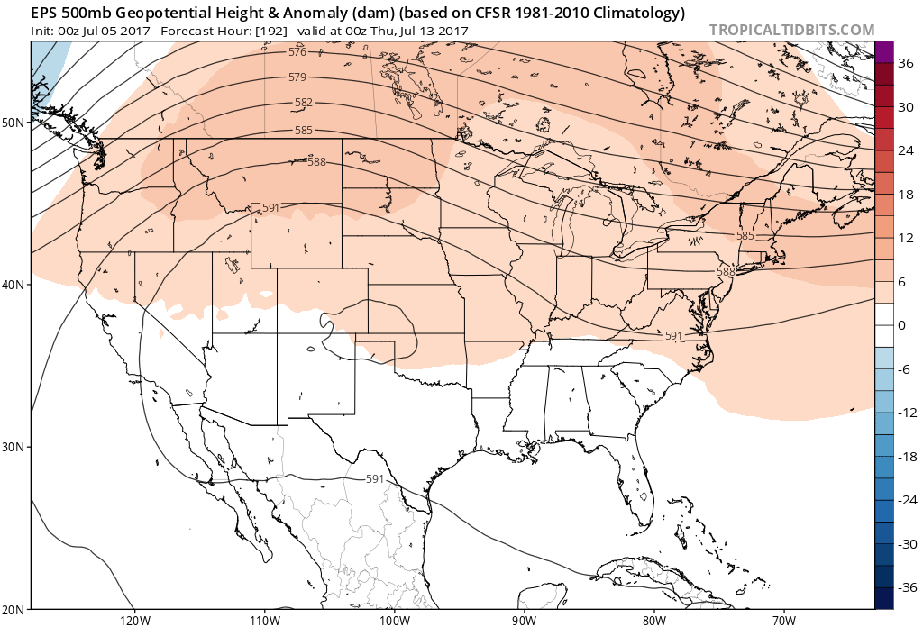
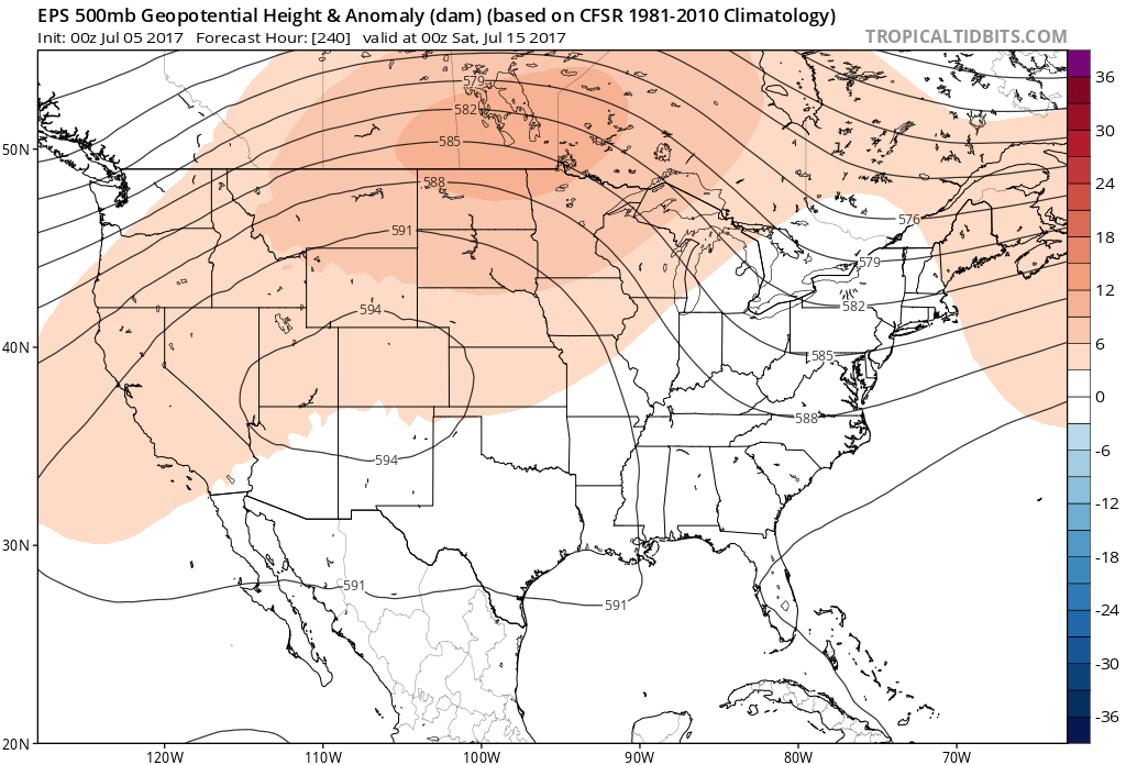
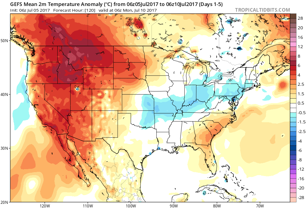
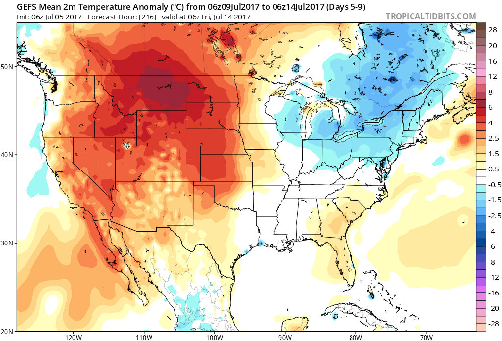
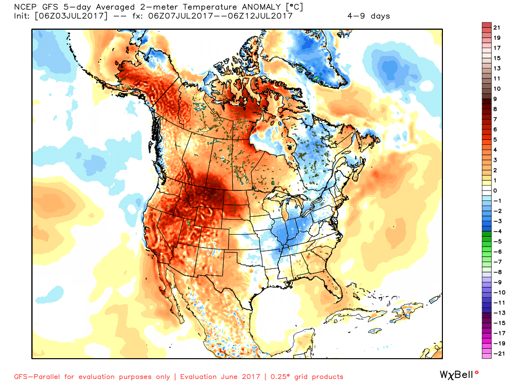
As we look forward, the big weather story this week will be the increasingly hot and muggy feel by late-week. Factor in that highs will approach 90° the second half of the week, along with dew points exceeding 70° and the stage will be set for a truly “oppressive” feel. Prepare to sweat.
Along with the increasingly heat and humidity, we’ll also note an increase in overall coverage of showers and thunderstorms through the late-week stretch. Individual disturbances will create periods of more widespread storms and with such a moisture rich air mass in place, expect periods of locally heavy rainfall.
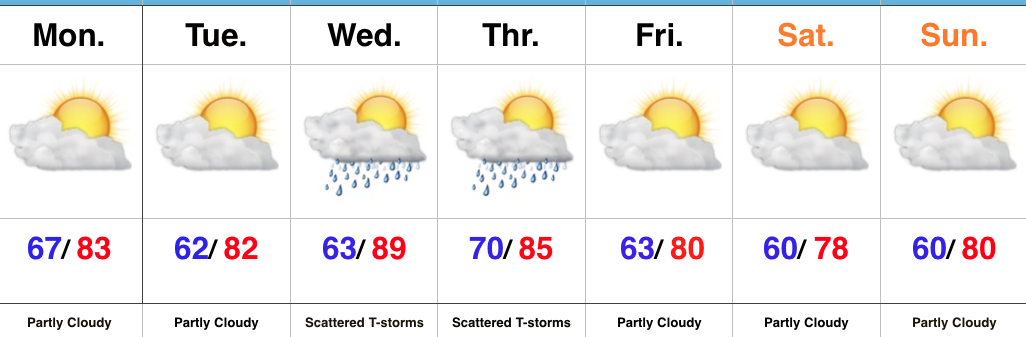
Upcoming 7-Day Precipitation Forecast:
- Snowfall: 0.00″
- Rainfall: 1.50″ – 2.50″
 Highlights: