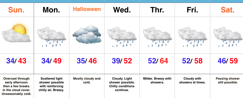
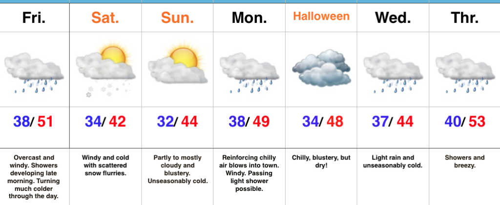
Late Day Sunshine; Cold Conditions Continue For Halloween…
 Highlights:
- Late day sunshine
- Reinforcing chill blows in for Halloween
- Temperatures moderate, but rain returns
Warm Costumes Needed This Year…Low level cloudiness blankets the state this morning, but we should see them scour out enough to let sunshine into the picture before we wrap up the weekend. That sunshine won’t stick around long as reinforcing chilly air blows into town to open the new work week. While a shower could accompany the new blast of chill, most of Monday will be rain-free. We’ll notice an increasingly gusty breeze through the day.
Halloween will be dominated by clouds, but the day should be dry, including the all-important stretch Tuesday evening for that trick-or-treating. Bundle up as temperatures will continue to run much colder than average.
A milder southwesterly air flow will dominate our mid and late week weather and while this will result in moderating temperatures, it’ll also help increase rain chances during the period. While it won’t rain the entire time, individual disturbances will result in periods of showers Wednesday through Saturday.
Upcoming 7-Day Precipitation Forecast:
- Snowfall: 0.00″
- Rainfall: 0.50″ – 0.75″
 Highlights:
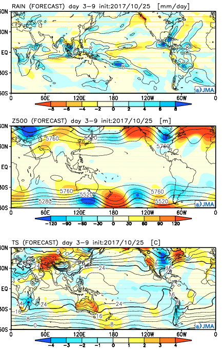 Week 2:
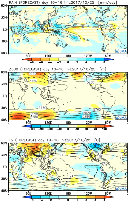 Weeks 3-4:
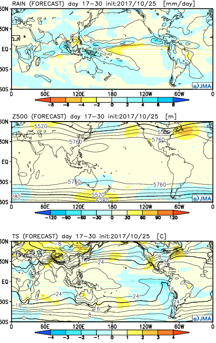 28 Day Mean:
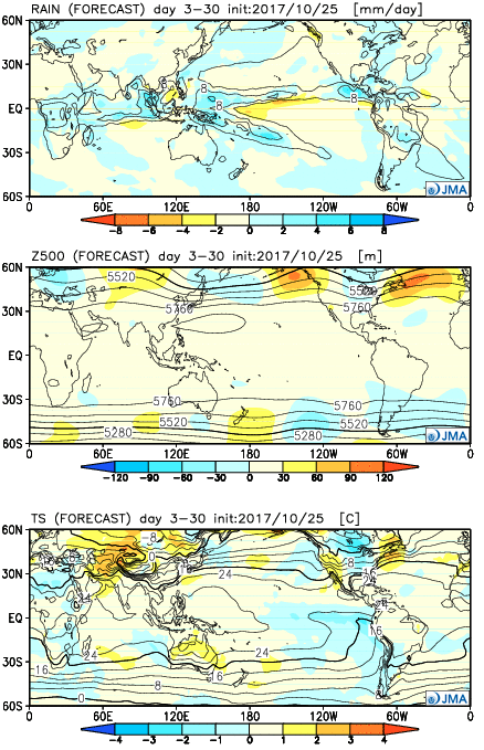 After the cold start to the month, the JMA Weeklies suggest ridges will “bookend” the country as November evolves, especially the Northeast region. This fits our research, as well, and fits the pattern, overall. If you haven’t had an opportunity to read our