Category: Tornadoes

Client Brief: Severe Weather Episode On Track Tonight…

Updated 03.14.24 @ 4:16p

Type: Severe Weather Outbreak

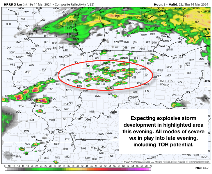
What: Severe weather outbreak

When: Tonight between 6p and midnight

Wind: Potential of straight line winds in excess of 60 MPH

Temperatures: Lower 70s falling into the 40s after midnight

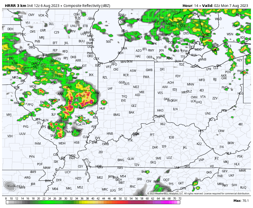
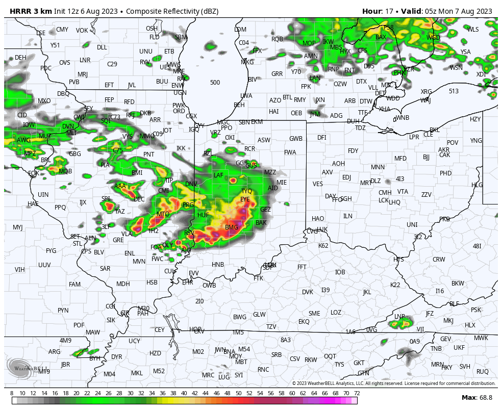
Summary: While all is quiet on the radar as we type this, things will change quickly through the next hour, or so. We anticipate storms to initialize across the region around 6p and quickly intensify. Downstream radar and satellite trends pose a concerning look this afternoon, including several super cells and this activity is expected to expand into central IN through the evening. All modes of severe weather are possible, including large hail, damaging winds, and a few tornadoes. Please heed all warnings and have your severe weather safety plan activated through the evening. Thankfully, we still anticipate rapidly improving conditions north to south towards 11p to midnight.

Confidence: High

Permanent link to this article: https://indywx.com/client-brief-severe-weather-episode-on-track-tonight/

VIDEO: Timing Out 2 Rounds Of Strong-Severe Storms; Trending Cooler Into Next Week…

Updated 03.14.24 @ 7:37a We’re tracking 2 rounds of storms that’ll impact central IN today: around lunchtime and again for the evening commute. While both rounds of storms stand a…

You must be logged in to view this content. Click Here to become a member of IndyWX.com for full access.  Already a member of IndyWx.com All-Access?  Log-in here.

Permanent link to this article: https://indywx.com/video-timing-out-2-rounds-of-strong-severe-storms-trending-cooler-into-next-week/

VIDEO: Forecasting Record Warmth Today; Timing Out Rounds Of Storms Late Tonight – Wednesday AM…

Updated 02.26.24 @ 7:30a We’ll go from “chamber of commerce” type weather to open the work week, including pushing for a record high later this afternoon, to rounds of storms…

You must be logged in to view this content. Click Here to become a member of IndyWX.com for full access.  Already a member of IndyWx.com All-Access?  Log-in here.

Permanent link to this article: https://indywx.com/video-forecasting-record-warmth-today-timing-out-rounds-of-storms-late-tonight-wednesday-am/

Severe Weather And Localized Flooding Threat: Another One Of Those Days To Remain Weather-Aware…

Updated 08.09.23 @ 12:30a

You must be logged in to view this content. Click Here to become a member of IndyWX.com for full access.  Already a member of IndyWx.com All-Access?  Log-in here.

Permanent link to this article: https://indywx.com/severe-weather-and-localized-flooding-threat-another-one-of-those-days-to-remain-weather-aware/

Short-Term Severe Weather Discussion…

Updated 08.06.23 @ 9:54a

Despite a few light morning showers, our Sunday will feature dry conditions through the remainder of the daylight hours along with increasing sunshine. The disturbance responsible for Saturday’s severe weather and unsettled conditions is on the way east while we wait a new potent disturbance on deck from the west. Unfortunately, this second disturbance has eyes set on our region tonight and will pose a dangerous overnight severe weather risk.

All modes of severe weather will be possible, including damaging winds, large hail, and a couple of quick spin-up tornadoes. It wouldn’t surprise me if a portion of the current ‘Slight Risk’ area is upgraded to an ‘Enhanced Risk’ across southern IN in future SPC (Storm Prediction Center) updates this afternoon.

From a timing standpoint, storms should approach western Indiana towards 10p, or so and then continue to advance east, southeast into the late evening and overnight hours.

Discrete cells may try and organize into more of a congealed line as we push closer towards midnight and, as such, the threat of a damaging wind event will become the eventual primary concern as we move through the early Monday morning hours across the southern half of Indiana.

Before heading to bed this evening, be sure to have a means of getting the latest warning information as there will likely be multiple warnings issued late this evening and into the early portion of the overnight.

Quieter (albeit briefly) weather conditions will return as we move through the first couple days of the new work week.

Permanent link to this article: https://indywx.com/short-term-severe-weather-discussion/