Bitterly Cold By April Standards…
 Highlights:
- Cold times continue
- Rain arrives Sunday
- Monday storms
- Slowly moderating late next week
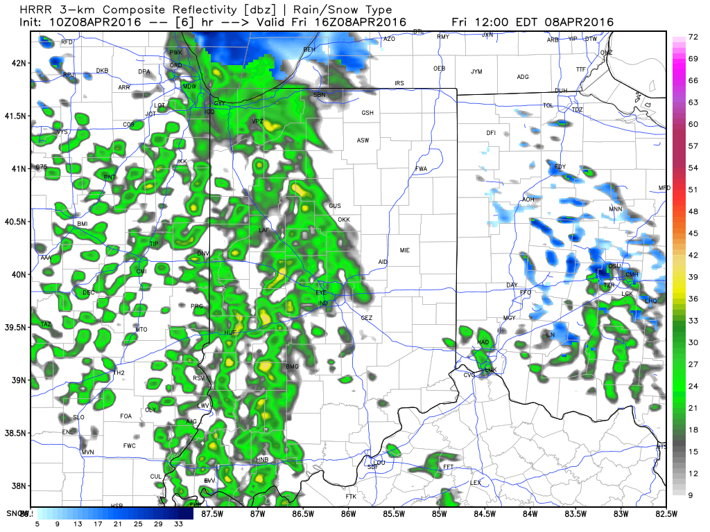
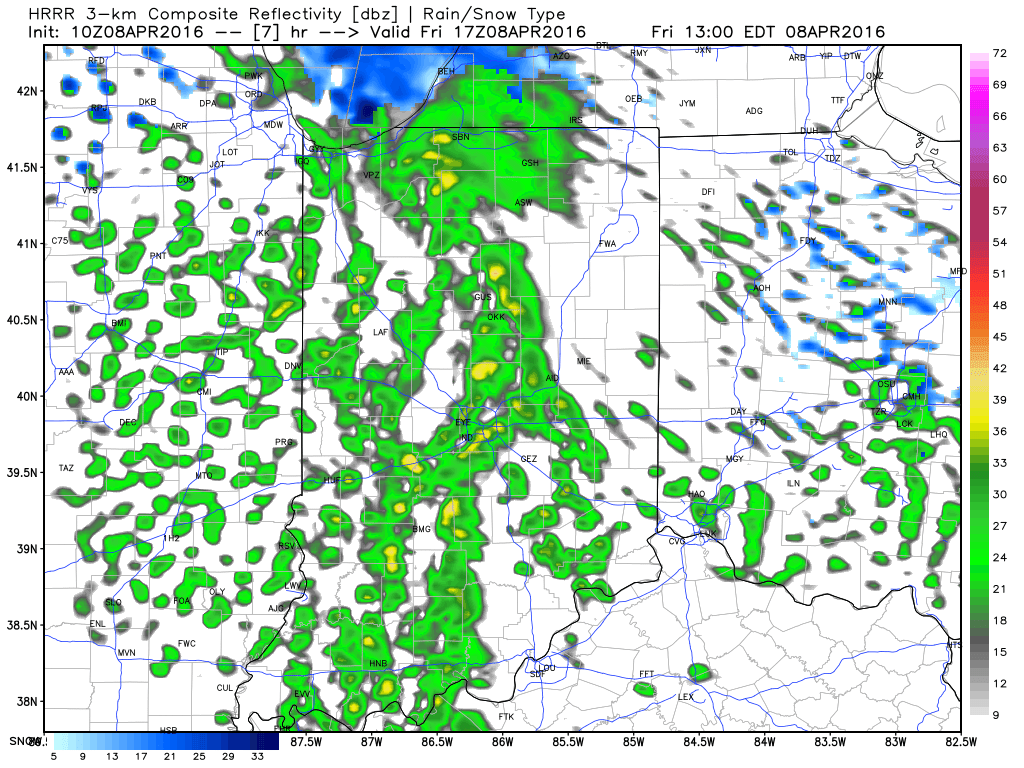
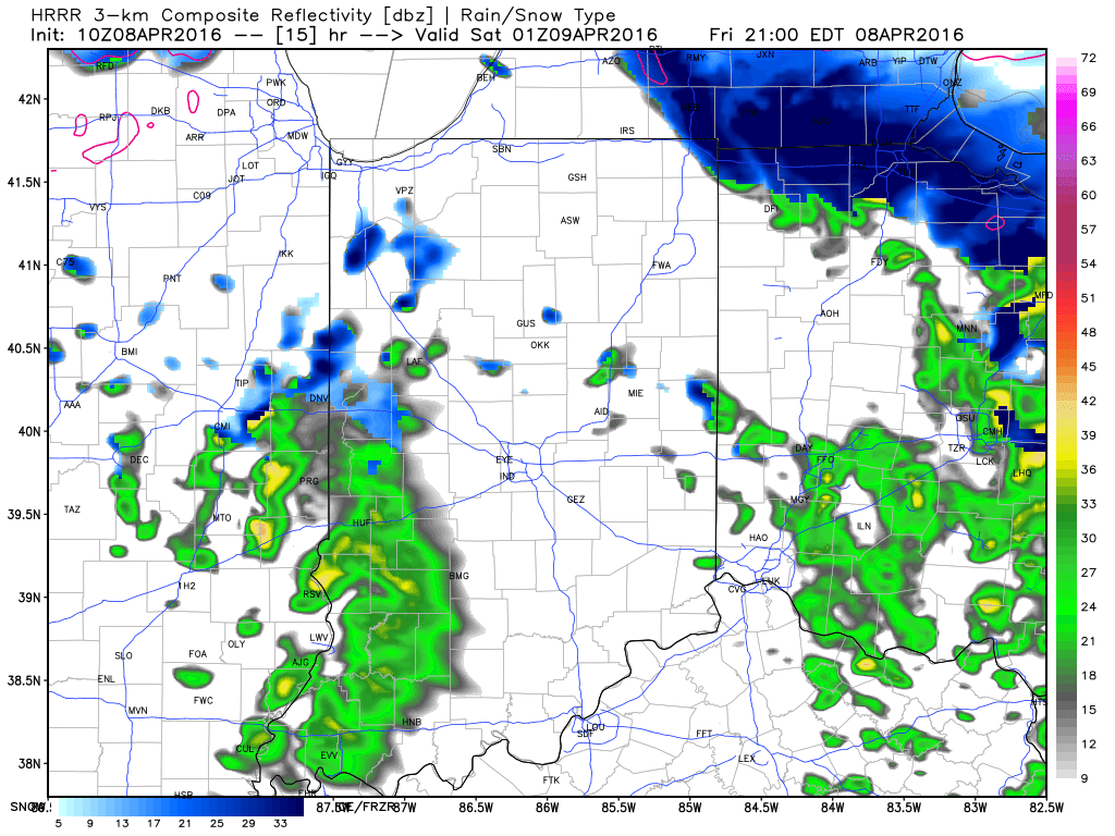
Bundle Up…With temperatures in the middle and upper 20s this morning and ‘chills in the 10s, it’s hard to believe we’re nearing mid-April! It’s simply downright bitter by April standards. Early snow showers and flurries should diminish as we progress into the afternoon hours with decreasing cloudiness, as well.
Dry times won’t last long as a warm front approaches Sunday. This will deliver a thick overcast back to the region, along with developing showers and embedded thunder into Monday. Early rain numbers into the forecast office offer up the potential of 0.75″-1.25″ on average in the Sunday-Monday time period.
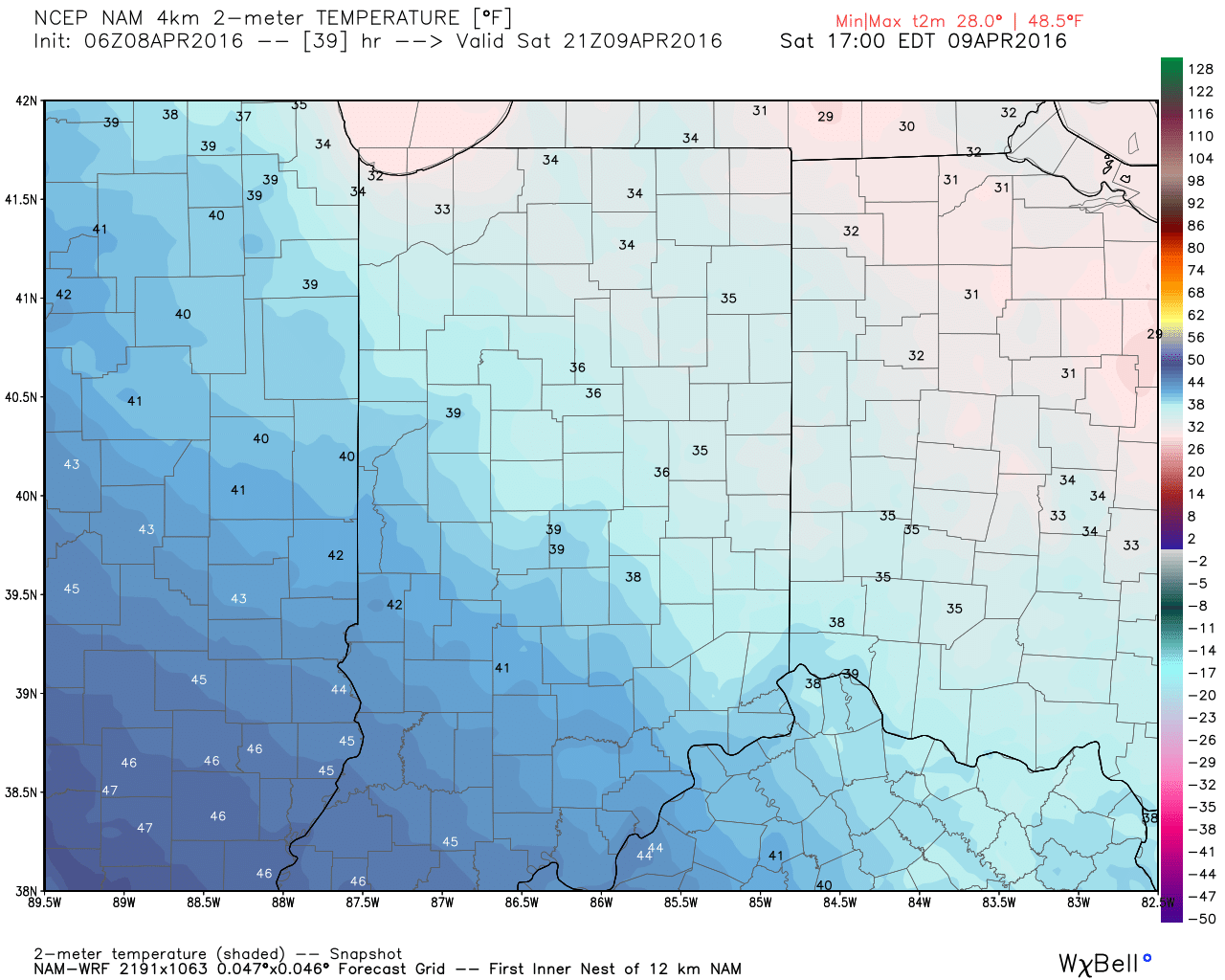
We’ll turn colder and breezy (surprise, surprise) Monday night into the middle of the week, BUT moderating temperatures will develop by late week! 60s are in store for afternoon highs Thursday-Friday with lots of sunshine! Hang in there, friends!