
 Highlights:
- Less humid air builds in
- Mid-week storms
- Refreshing weekend
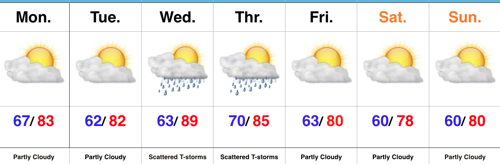
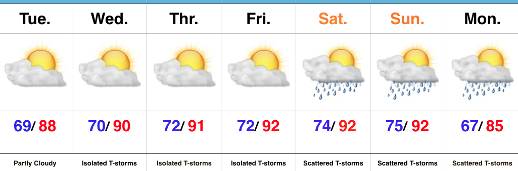
Pleasant Open To The Work Week…High pressure will build overhead today and result in a dry open to the work week. A surface front moved south through the region late last night and north winds will help drier air continue to build in as we move through the day. By this evening, we’ll really feel the more refreshing brand of air.
We’ll remain rain-free through Tuesday before our next cold front approaches late Wednesday into Thursday. Most of Wednesday will remain dry, as well, but we’ll mention chances of a late night thunderstorm arriving from the northwest. Better overall coverage of showers and thunderstorms can be expected Thursday.
Timing is our friend this go around as the front passes Thursday evening, allowing a much drier and cooler air mass to build in. Considering this is the last weekend of July, it’ll feel very, very pleasant.
Upcoming 7-Day Precipitation Forecast:
- Snowfall: 0.00″
- Rainfall: 0.50″ – 1.00″
 Highlights:
 Week 2:
 Weeks 3-4:
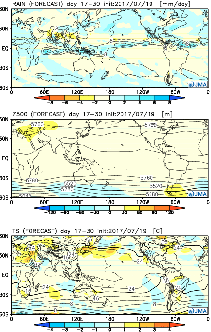
 Highlights: