Category: Summer

The Heat Is On…

Mon.

Tue.

Wed.

Thr.

Fri.

Sat.

Sun.

 Status-weather-clouds-icon

 Status-weather-showers-day-icon

 Status-weather-showers-day-icon

 Status-weather-showers-day-icon

 Status-weather-showers-day-icon

 Status-weather-showers-day-icon

 Status-weather-clouds-icon

64/ 83

65/ 85

68/ 87

69/ 89

71/ 90

72/ 92

72/ 93 

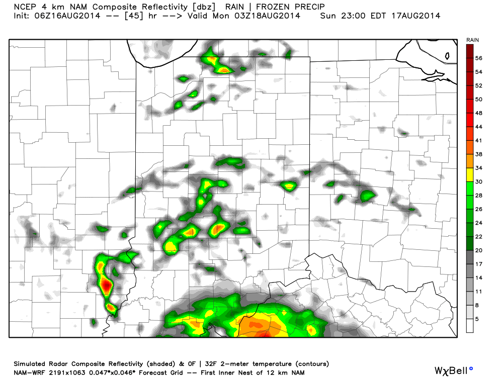
Mostly Dry Start To The Work Week…Dense fog is around in spots this morning, particularly northwest of the city. Otherwise, a broad circulation around a departing area of low pressure may help spark an isolated shower or thunderstorm across east-central parts of the state this afternoon.  The key word here is “isolated,” however, and most will remain rain-free today.

Better Rain/ Storm Chances…Details on timing are still murky, but we forecast better rain and storm chances Tuesday afternoon on through the mid week period.  With all of the moisture in the air, locally heavy downpours can be expected.  The nature of the showers and thunderstorms will be what you would expect this time of year- scattered, meaning not everyone will see beneficial rains.

Serious Heat And Humidity…Temperatures will reach the hottest levels of the summer late week into the weekend.  Plenty of humidity will be in place as well and conditions may warrant watches, warnings, or advisories for the heat and humidity Friday-Sunday.  In a summer that’s spoiled many of us with unseasonably cool conditions, we’ll make up for at least a portion of lost time over the upcoming weekend.

7-Day Precipitation Forecast:

  • 7-Day Rainfall Forecast: 0.50″-1.00″
  • 7-Day Snowfall Forecast: 0.00″
While today will be mostly dry, better chances of scattered thunderstorms lie ahead Tuesday.

While today will be mostly dry, better chances of scattered thunderstorms lie ahead Tuesday.

Permanent link to this article: https://indywx.com/the-heat-is-on/

Active Week Ahead…

Sun.

Mon.

Tue.

Wed.

Thr.

Fri.

Sat.

 Status-weather-showers-day-icon

 Status-weather-showers-day-icon

 Status-weather-showers-day-icon

 Status-weather-showers-day-icon

 Status-weather-showers-day-icon

 Status-weather-showers-day-icon

 Status-weather-showers-day-icon

67/ 79

67/ 81

69/ 85

68/ 87

69/ 88

70/ 88

71/ 89 

More Like Summer…The upper air pattern this week will be unlike what we’ve seen the majority of the summer.  A ridge of high pressure will expand across the southeast region and build northwest.  Meanwhile, a trough and associated cooler air mass will impact the northern Rockies and northwest region.

Low pressure will dominate our sensible weather today with lots of clouds and widespread rain downstate.  Scattered showers and thunderstorms will impact central portions of the state.  As we progress into the work week, we’ll have to remain on our toes for thunderstorm complexes that may ride the periphery of the expanding hot dome to our south.  This will keep things rather active and unsettled through the forecast period.

The other topic of interest will be our temperatures. Whether we crack the official 90 degree mark or not is yet to be seen, but it’ll certainly feel very hot and humid around these parts through the week, especially the back half of the week.  “Air you can wear” will be the weather theme this week.

7-Day Precipitation Forecast:

  • 7-Day Rainfall Forecast: 1.50″-2.00″
  • 7-Day Snowfall Forecast: 0.00″
Cool shifts northwest this week while heat builds across the south and central.

Cool shifts northwest this week while heat builds across the south and central.


Permanent link to this article: https://indywx.com/active-week-ahead/

Talking Heat, Humidity, And Rain…

Happy Saturday afternoon to all!  This evening’s video covers what continues to look like an active weather pattern, including multiple rain chances ahead for the upcoming week.  We also discuss the upper air pattern and the expanding area of heat.

UAPattern822824

Permanent link to this article: https://indywx.com/talking-heat-humidity-and-rain/

Unsettled Weekend…

Some are waking up to the pitter-patter of rain drops this morning and this is a sign of what’s ahead this weekend.  While it won’t rain the entire time, most folks will see beneficial rainfall over the weekend.  In this case, rain is a good thing, as we’re running under normal rainfall totals month-to-date by 1.23″.

Morning showers will push through the region before dry conditions return late morning into the early afternoon.  Scattered showers will then again “dot” the central Indiana landscape this evening before potentially a more widespread rain moves in overnight.

Forecast radar at 10am:

hrrr_ref_indy_3

Forecast radar at 6pm:

hrrr_ref_indy_11

Heavier rainfall may push in overnight from the west as low pressure draws closer…

Forecast radar at 10pm:

hrrr_ref_indy_15

Sunday will have a more humid feel to the air and scattered showers and thunderstorms will remain in our forecast:

hires_ref_indy_46

This is only the beginning of a rather unsettled week ahead, including multiple rain and storm chances.  Widespread upcoming 7-day precipitation totals range between 1.5″ and 2″, but locally heavier totals can be expected.

Permanent link to this article: https://indywx.com/unsettled-weekend/

Crisp, Chilly Start…

Fri. Sat. Sun. Mon. Tue. Wed. Thr.               48/ 77 58/ 80 66/ 80 68/ 81 63/ 84 67/ 88 70/ 89  Perfect Close…

You must be logged in to view this content. Click Here to become a member of IndyWX.com for full access.  Already a member of IndyWx.com All-Access?  Log-in here.

Permanent link to this article: https://indywx.com/crisp-chilly-start/