Developing Hot Pattern Doesn’t Last; Cooler And Wetter Times Loom…
Through the short-term, there are two words that will sum up Indiana’s weather: Dry and Hot. We’re entering a stretch where the overall weather pattern will promote an expanding hot dome in the coming days, and put many communities across the state solidly in position to break the 90° mark on multiple days.

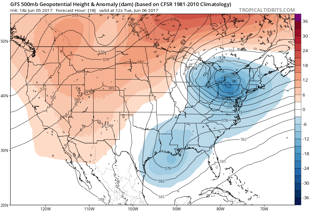
However, this increasingly hot and dry pattern will be a transient one. This morning’s European model shows the evolution to cooler and increasingly wet, unsettled times nicely as we progress into the 6-10 day period.
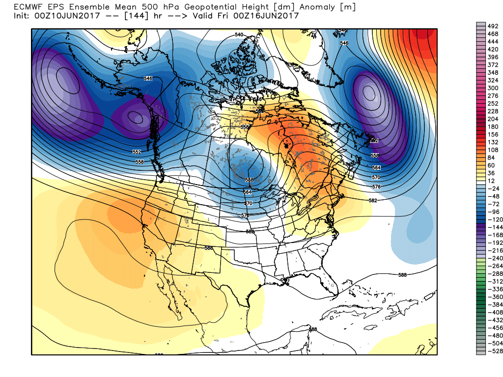
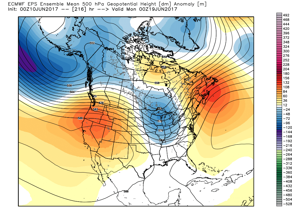
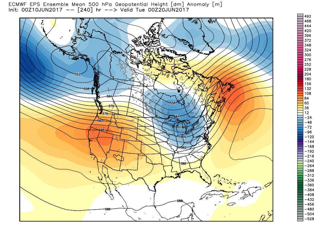
The GFS ensemble would also agree in the overall pattern shift back to cooler and unsettled conditions as early as mid-late next week.
Updated 7-day out later this afternoon! Enjoy a beautiful Saturday, friends!
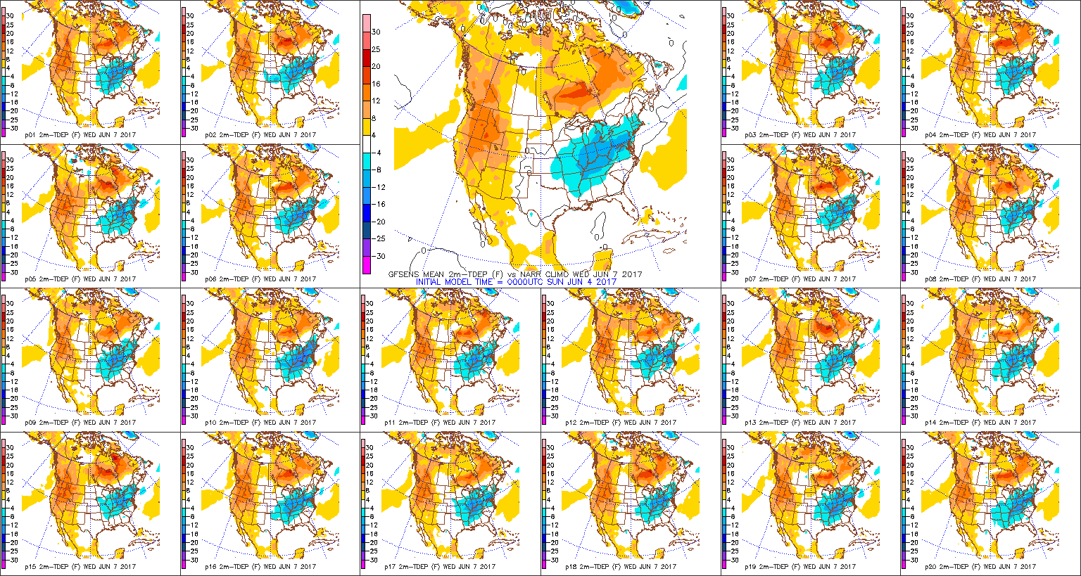
 In fact, we forecast highs Wednesday to only top the upper 60s, and this will be a good 10°-15° below average for June 7th. Lows each morning through Friday will start out in the lower-middle 50s for the city, itself, but some outlying neighborhoods will fall deep into the 40s. Very refreshing, indeed, for early June!
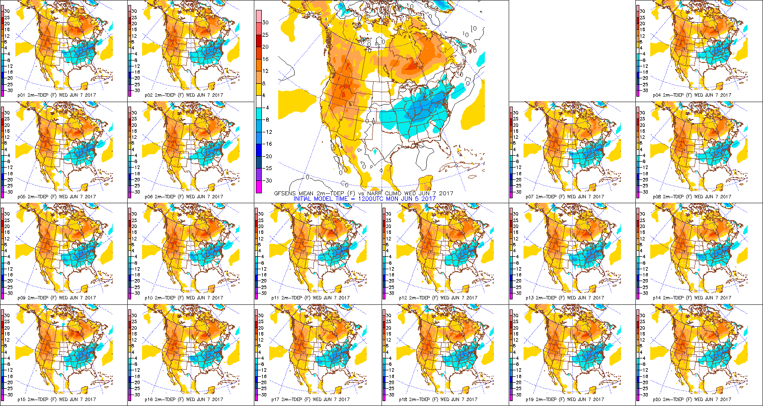 High pressure will dominate our weather through late week, continuing the overall drier than normal theme.
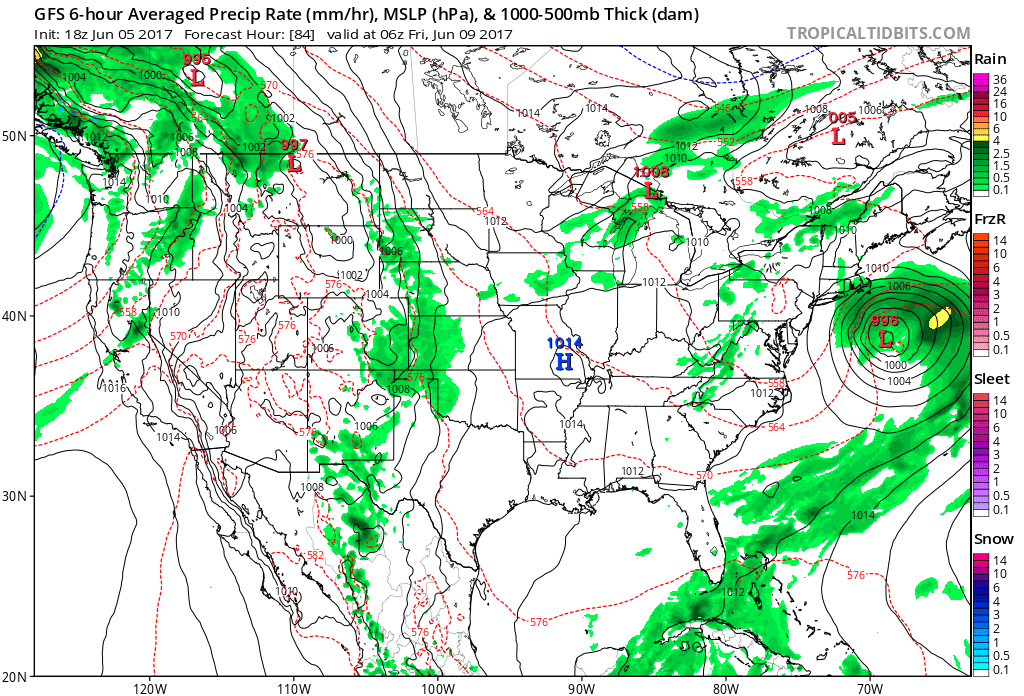
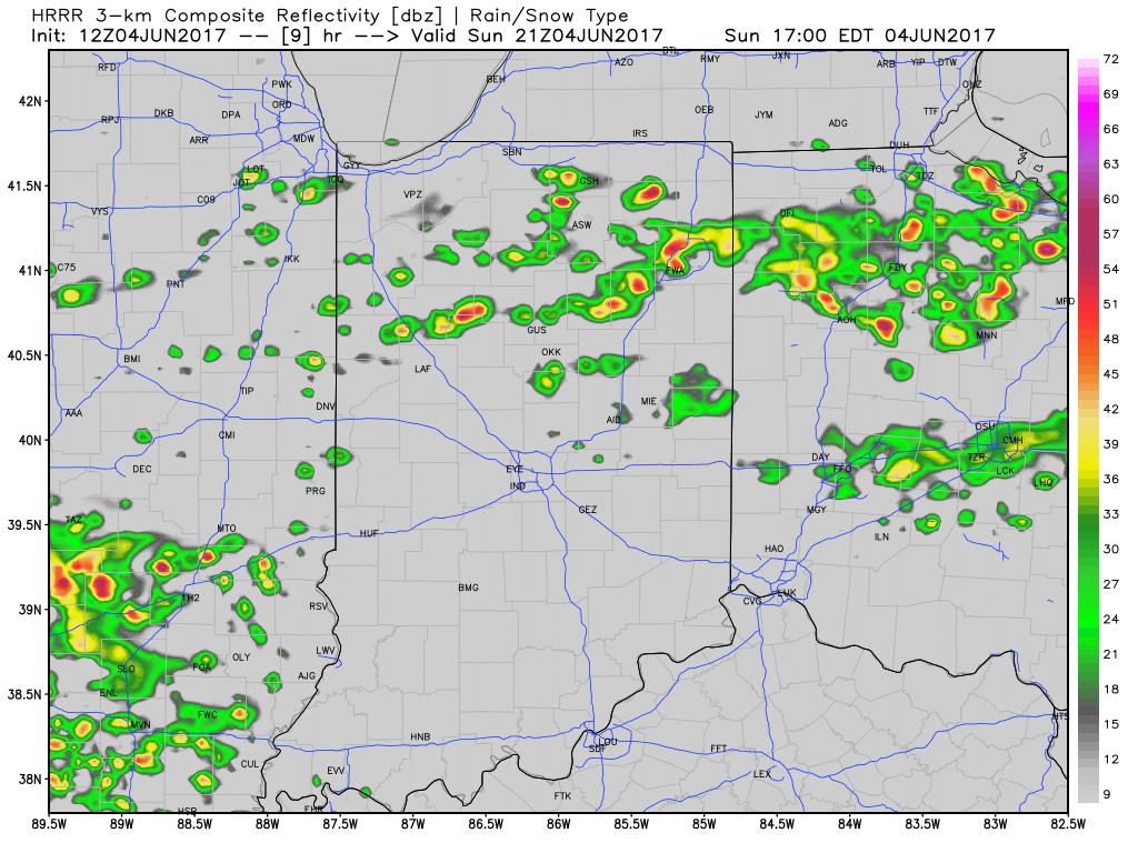
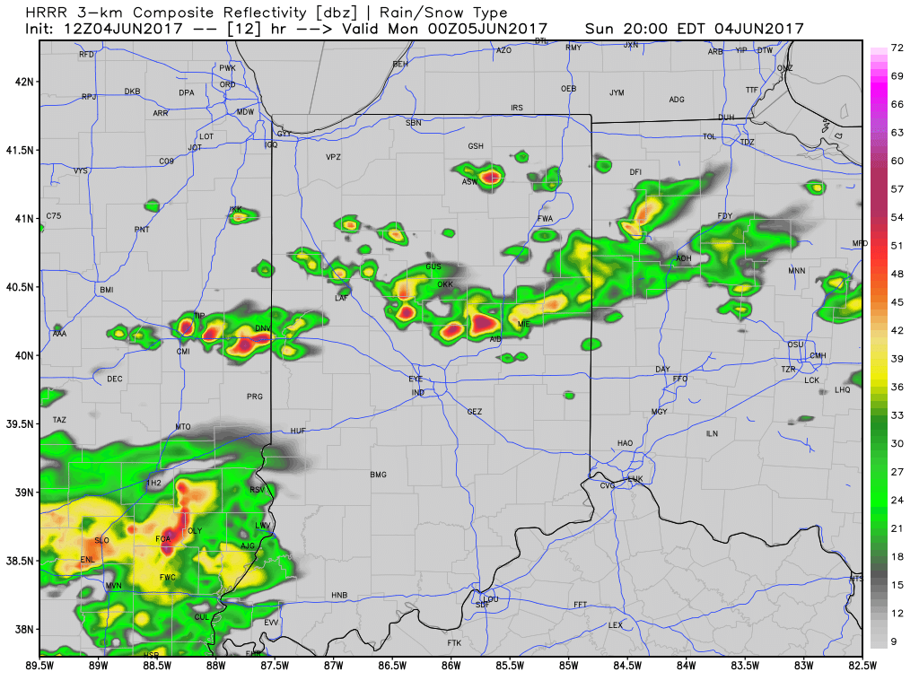
 Models slowly begin to increase moisture levels as we move into the weekend and an isolated shower or thunderstorm could develop, but widespread rains of significance aren’t anticipated for the foreseeable future.
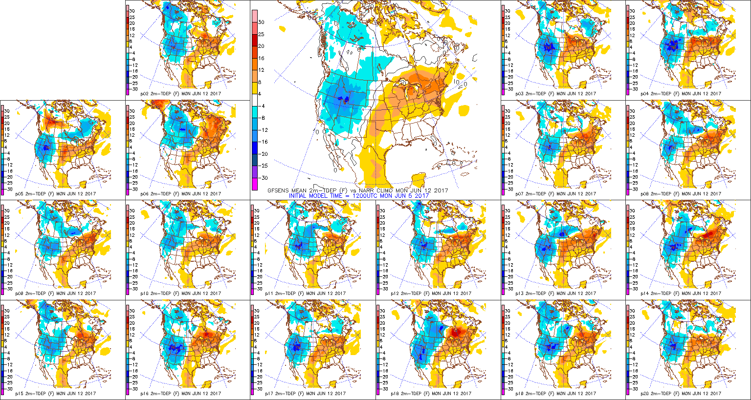
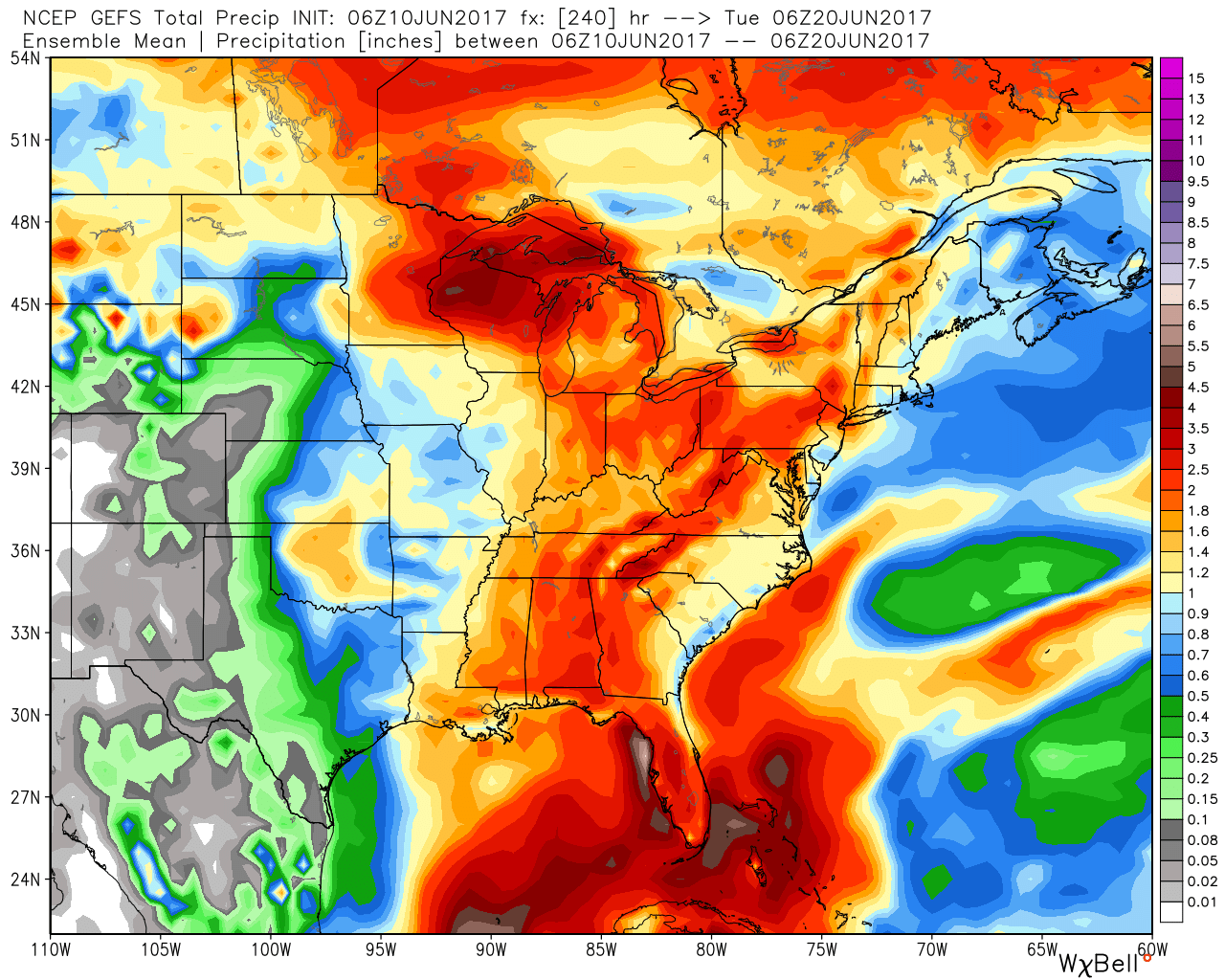
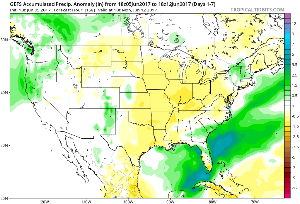
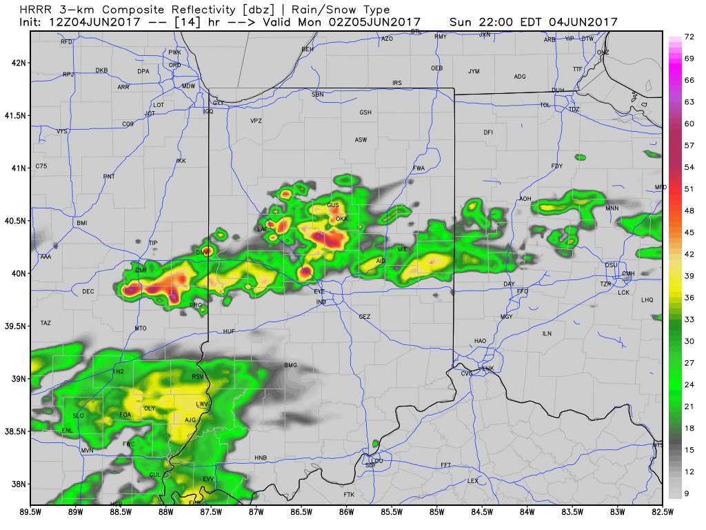 Most significant rainfall will occur across the northern half of the state, including a couple of 1″+ totals in the heavier storms.