VIDEO: Improving Conditions; Turning More Unsettled Next Week…
You must be logged in to view this content. Click Here to become a member of IndyWX.com for full access. Already a member of IndyWx.com All-Access? Log-in here.
You must be logged in to view this content. Click Here to become a member of IndyWX.com for full access. Already a member of IndyWx.com All-Access? Log-in here.
You must be logged in to view this content. Click Here to become a member of IndyWX.com for full access. Already a member of IndyWx.com All-Access? Log-in here.
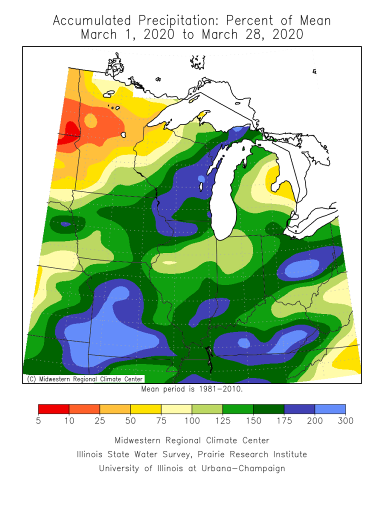
It was another wet and stormy weekend across central Indiana. Heaviest rain fell north of the city, itself, with several areas recording over 3″.
March, as a whole, has been wet. Officially, Indianapolis is running 1.36″ above average, month-to-date.
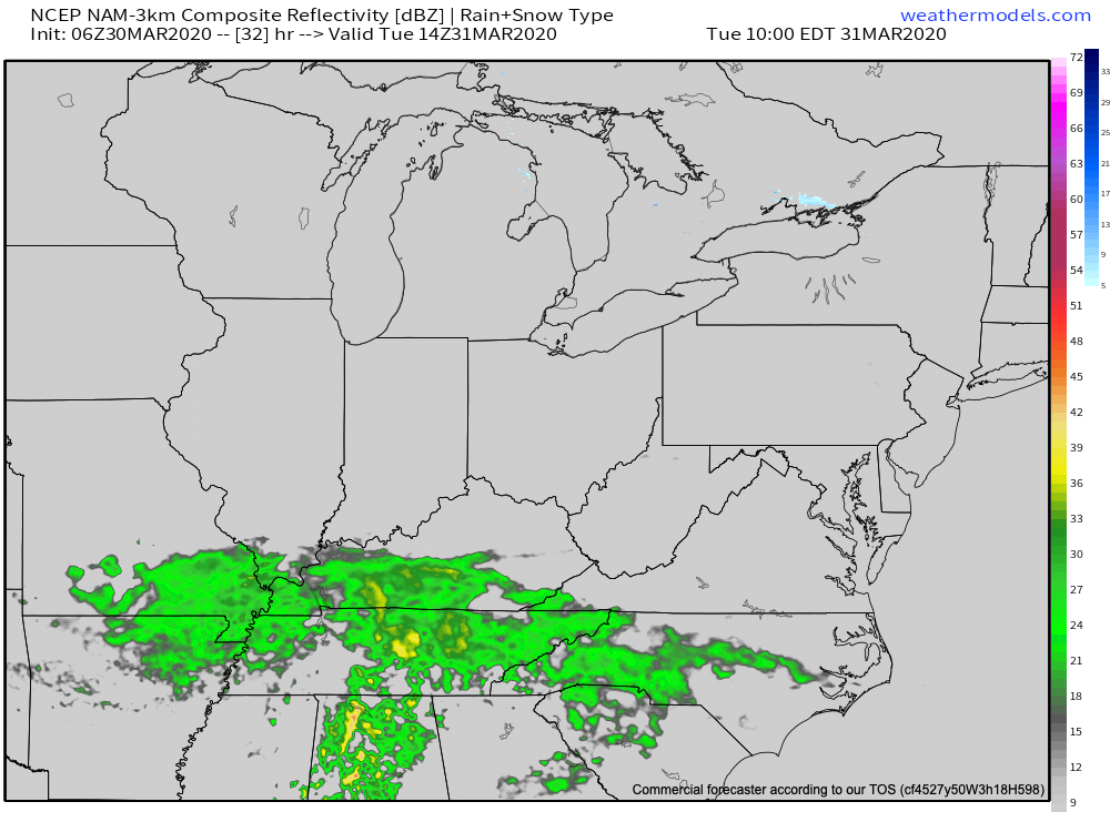
Thankfully, the upcoming week will feature much calmer and quieter conditions. In fact, we should make it through the entire work week without a drop of precipitation. A system will pass well to the south of central Indiana Tuesday.
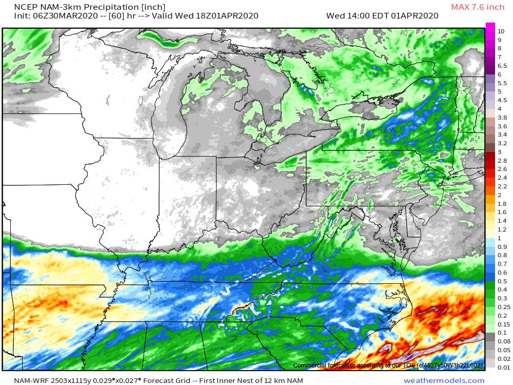
Drier than average conditions will prevail this week, giving our immediate area much needed time to let saturated soils slowly soak up that water from the weekend.
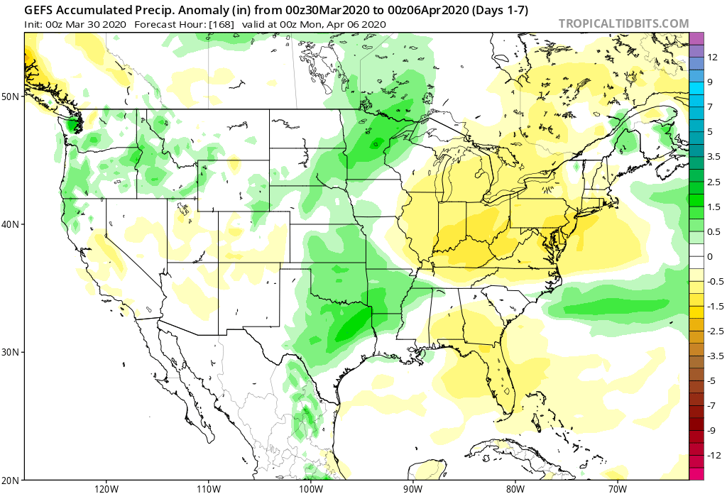
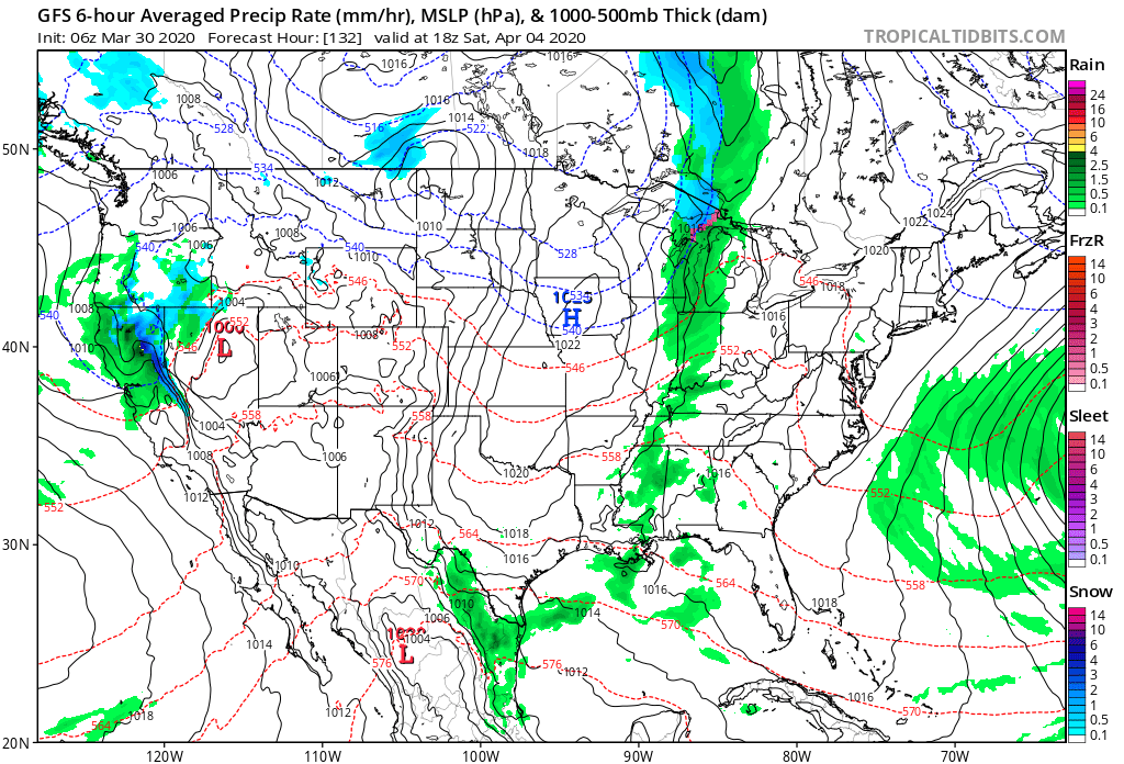
The next opportunity for showers and thunderstorms will arrive on the scene Saturday. From this distance, this looks to be a rather moisture starved front, but we’ll keep close eyes on things as we get closer to the weekend.
You must be logged in to view this content. Click Here to become a member of IndyWX.com for full access. Already a member of IndyWx.com All-Access? Log-in here.
You must be logged in to view this content. Click Here to become a member of IndyWX.com for full access. Already a member of IndyWx.com All-Access? Log-in here.