
Updated 12.17.22 @ 7:11a
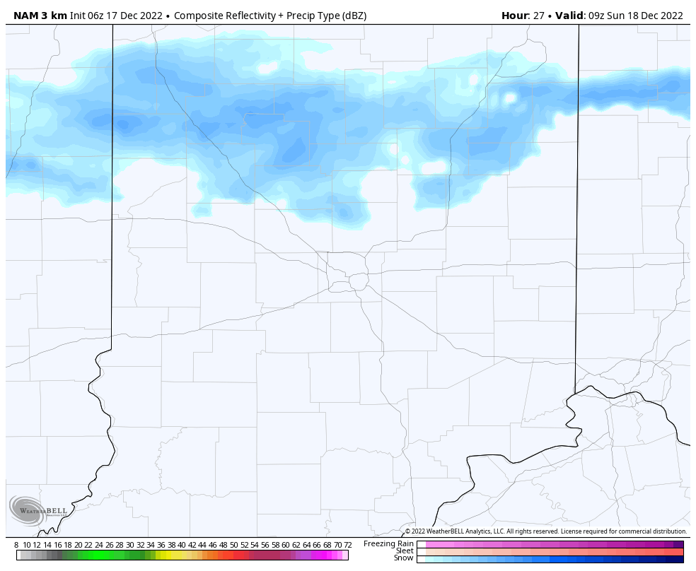
Just enough upper level energy will linger around the region to help generate occasional snow flurries or light snow showers into Sunday morning. Like the past 24 hours, these won’t amount to much if any accumulation.
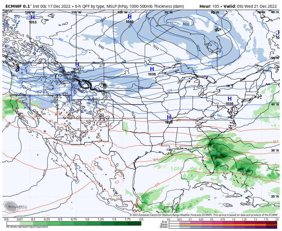
High pressure will then dominate our weather through the early and middle part of the work week with dry and seasonably cold conditions.
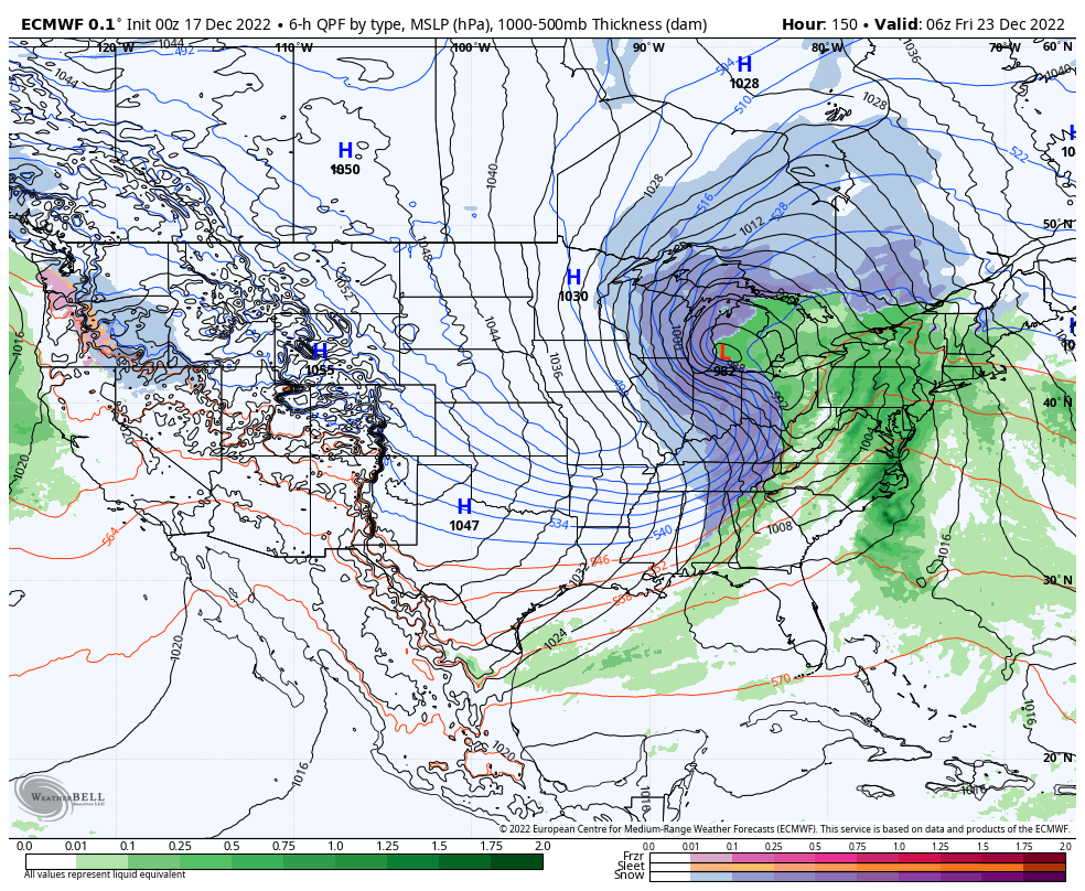
By this point, all eyes will be on the developing winter storm in the Plains. We expect snow to overspread the region Thursday (possibly beginning as a brief period of rain), continuing, potentially heavy at times, through the day on Friday. This still has the potential to be a significant, if not severe, winter storm but we’re still a couple days away from being able to talk specifics in respect to snowfall totals. Another item to note will be the wind. Blowing and drifting will likely be a major problem by Friday, into Christmas Eve. If there’s anyway to move travel to Wednesday, we’d highly recommend it.
A nasty shot of bitterly cold arctic air will plunge into the region Christmas weekend. How do highs in the 0s to low 10s sound and overnight lows below 0°? Wind chill values of 20° to 40° below zero (not a typo, unfortunately) are on the table.
