VIDEO: Quick Wednesday Evening Video Update…
You must be logged in to view this content. Click Here to become a member of IndyWX.com for full access. Already a member of IndyWx.com All-Access? Log-in here.
You must be logged in to view this content. Click Here to become a member of IndyWX.com for full access. Already a member of IndyWx.com All-Access? Log-in here.
Indiana is blessed with a truly incredible weather community. Please understand that I’m not just throwing around the word “community” lightly here. The relationships that have stemmed from one single…
You must be logged in to view this content. Click Here to become a member of IndyWX.com for full access. Already a member of IndyWx.com All-Access? Log-in here.
 Highlights:
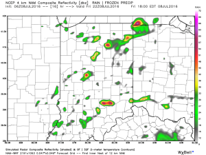
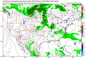
Keep The Rain Gear Handy…Whew, after an incredibly busy evening, things will be much quieter today. Despite not having a severe threat, we will have to deal with wet times as periods of rain continue. Rain coverage will diminish Wednesday, but we’ll keep scattered showers in the forecast.
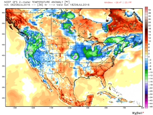
Drier air will arrive Thursday and Friday, including a partly cloudy sky. The next weather item on the horizon is a weekend cold front. This frontal boundary will help increase storm chances Saturday into early Sunday (a few storms Saturday evening could be on the strong side). MUCH cooler, early fall-like, air awaits next week…
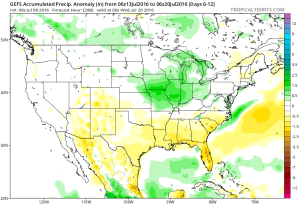
Upcoming 7-Day Precipitation Forecast:
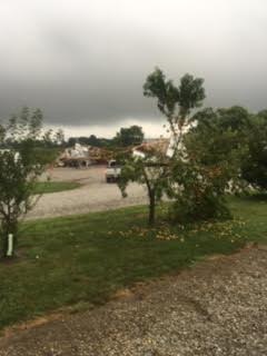
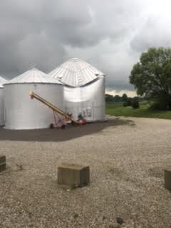
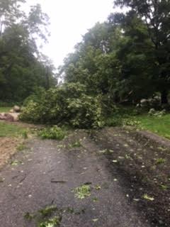
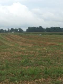
Here are a few photos I shot Monday evening (8.15.16), between 6:47p-6:55p, just after the tornado touched down in Whitestown.

You must be logged in to view this content. Click Here to become a member of IndyWX.com for full access. Already a member of IndyWx.com All-Access? Log-in here.
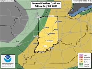
1.) We’ve got another warm, humid day dialed up and as a cold front moves in this afternoon, scattered strong to severe storms are possible. We think east-central Indiana stands the greatest threat at experiencing a severe storm later this evening.
 2.) The aforementioned cold front will sweep through the state tonight and allow a much drier and cooler air mass to push in for the weekend. We’ll enjoy a downright pleasant feel this weekend, including lots of sunshine. Enjoy!
 3.) Dry weather should continue into early next week, but wet and stormy weather will return as early as Tuesday, continuing into the latter portions of the week.
 This is the start of what should be a rather wet period for mid and late month.
 4.) This is also a continued “transient” pattern through the end of the month, meaning we really don’t see any sort of sustained dry, hot weather in the foreseeable future…