Periods Of Storms Interrupt An Otherwise Hot, Humid Regime…
 Highlights:
- Periods of storms
- Heat and humidity makes things uncomfortable
- Drier early next week
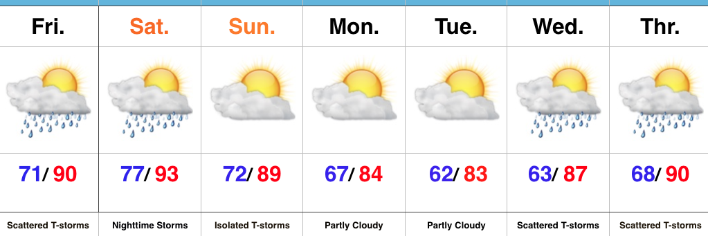
Mother Nature Calls…Many awoke early this morning as a complex of thunderstorms rumbled southeast into central Indiana. Some local rain gauges are already registering 2″+ across the region. Eventually, we think clouds will thin enough later today to allow temperatures to zoom close to 90°. Factor in the moisture-rich nature of our air mass and heat indices will approach 105° later this afternoon.
We’ll keep mention of scattered storms this evening and while most of the daytime Saturday looks dry, we’ll have to keep a close eye on Saturday night as models try to deliver another round of storms into central Indiana. Ingredients will be in place for the potential of severe thunderstorms Saturday night, with damaging winds being the biggest concern from a severe perspective.
A frontal boundary will push south and we’ll finally begin to see humidity levels fall as we close the weekend and open next week. It’ll feel very refreshing during the Monday-Tuesday stretch.
Heat, humidity, and storm chances return by the middle of next week.
Upcoming 7-Day Precipitation Forecast:
- Snowfall: 0.00″
- Rainfall: 1″ – 3″
 Highlights:
 Highlights:
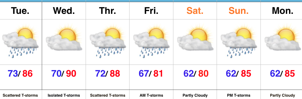
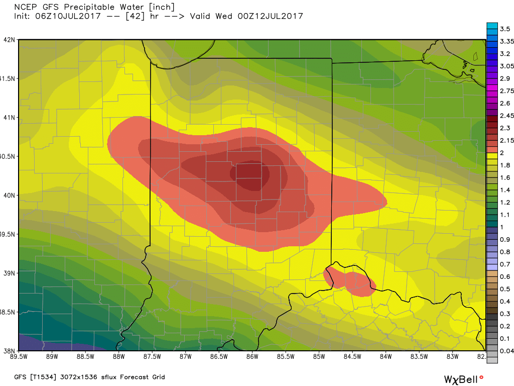
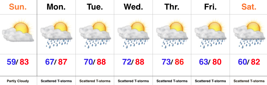
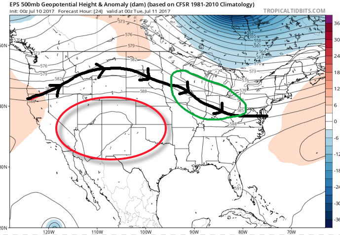 A quick step outside this morning will tell the story on just how different it feels. Gone is the refreshing air mass we enjoyed over the weekend and in return we’ve transitioned to an oppressive, tropical feel. Dew points will remain in the 70s through the majority of the work week and precipitable water values will reach 2″+ at times. With such a moisture laden air mass in place, flash flooding will likely result for some communities as the storms continue to track over the same areas this week.
 Additional waves of thunderstorms will impact the region through mid-and-late week before we advect some drier air into the state Friday evening into the weekend. Despite the lower dew points and cooler air, we still can’t rule out a shower or thunderstorm this weekend as a secondary front settles south.
 Highlights: