Attention Shifts To Wednesday Evening…
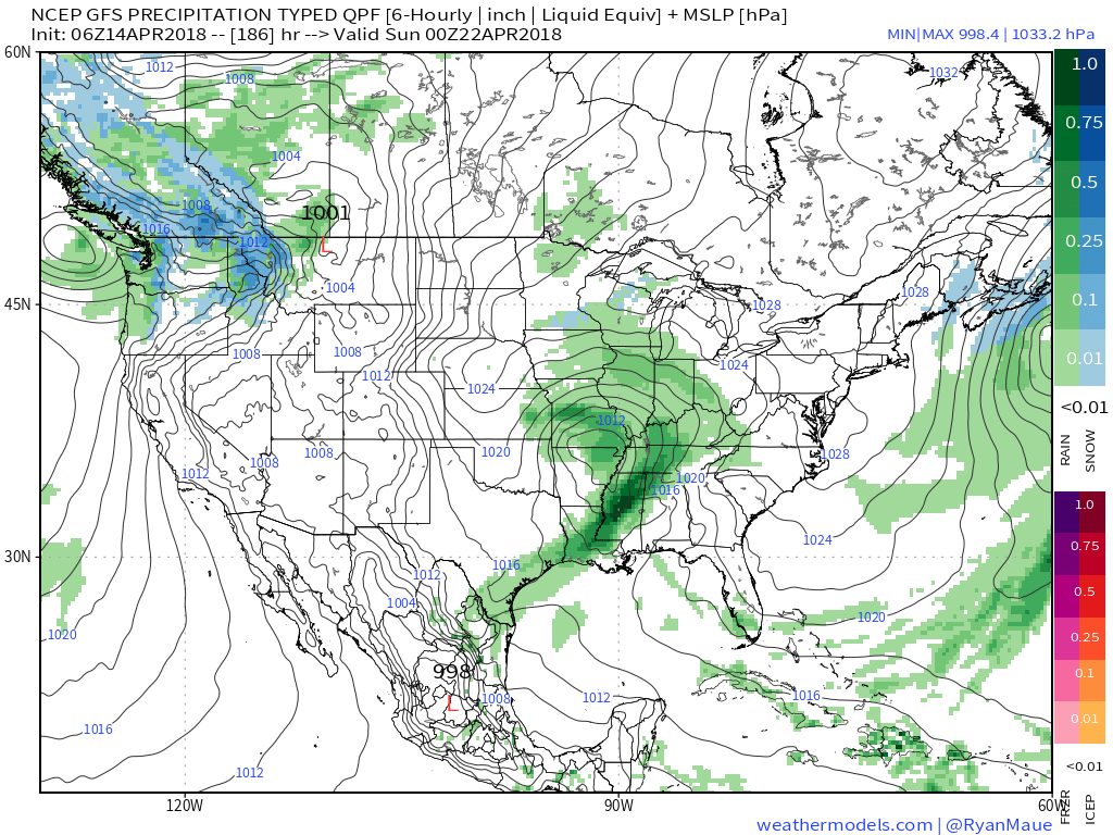
The Storm Prediction Center has expanded the Slight Risk of severe to encompass more of central Indiana as of the latest update:
 Concern is on the increase for the potential of strong to severe thunderstorms to impact central parts of the state Wednesday evening and night. That said, there are questions with how quickly the atmosphere will be able to recover from morning cloudiness and scattered thundershowers.
Forecast radar shows scattered showers and embedded thunder scooting through the state Wednesday morning, especially between the hours of 9a and noon.
 Current thinking leans towards a brightening sky through the mid and late afternoon hours which will help destabilize things for potentially a “more significant” event Wednesday evening and night (bracketing the hours of 6p to midnight from west to east).
We note the latest high resolution forecast radar guidance shows rather explosive development as we near the 6 o’clock hour.
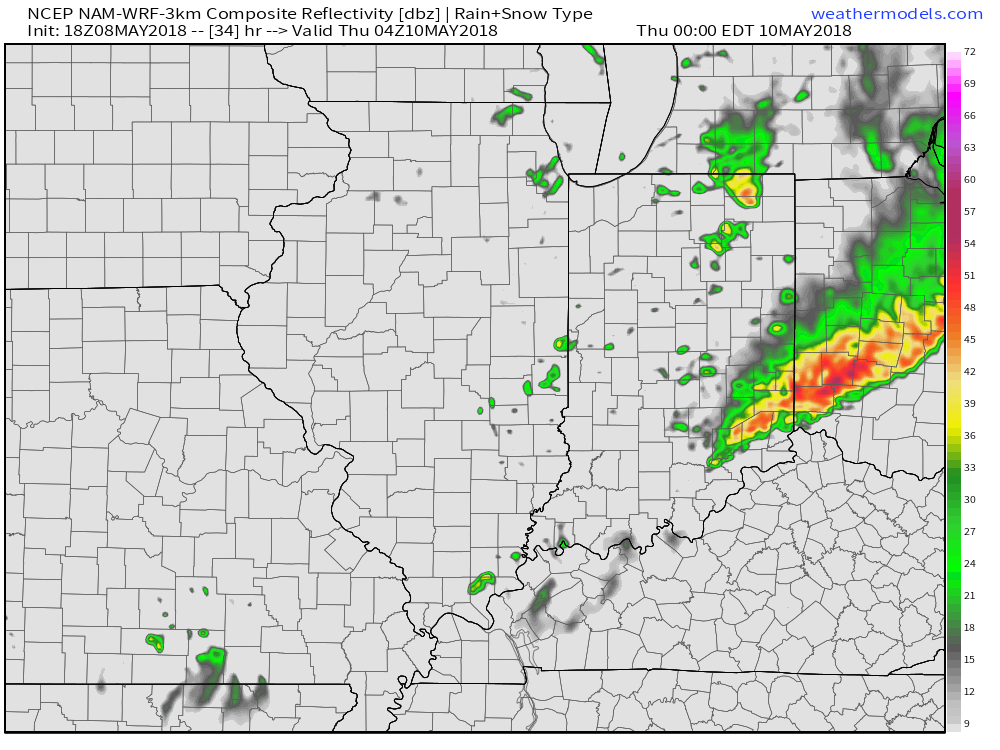
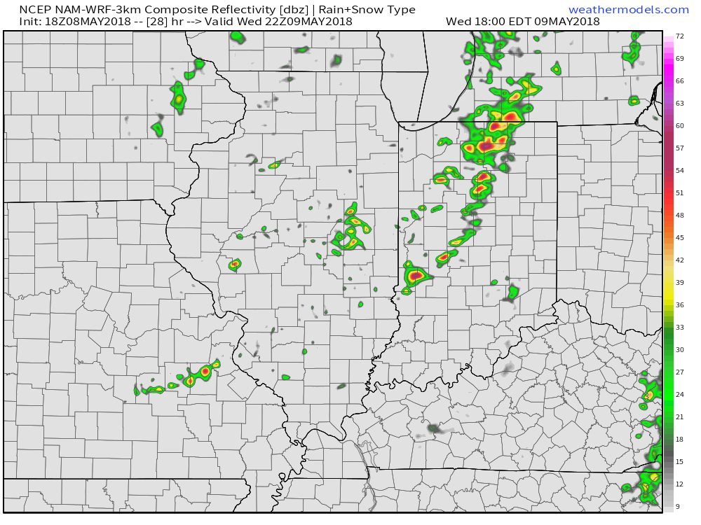 Storms are expected to exit off to the east by midnight:
 The primary concern that severe thunderstorms may deal central Indiana lies around damaging straight line winds and large hail, however, it should also be noted current parameters also suggest a couple of storms could spawn a tornado.
Bottom line, it’ll be important to keep close tabs on tomorrow’s forecast updates and ensure you have a means of receiving the latest information around watches and warnings that will likely come.
 At times, rain will fall at a moderate to heavy intensity tonight into Sunday, especially across the eastern half of the state. Additional rainfall totals of 1″ to 2″ can be expected in and around the city, itself, and points east.
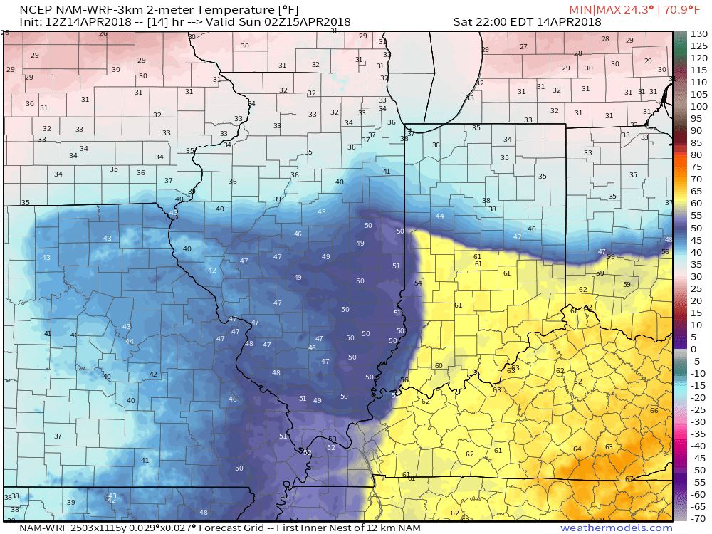
 The other item of interest tonight will be the tight temperature gradient across the state. Don’t be surprised by perhaps as much of a 30° spread from north to central parts of the state this evening as the “backdoor” cold front begins to drop south. You’ll certainly notice once the front passes.
 Eventually, cold will overwhelm and the second half of the weekend will wrap up on a downright “raw” note. As precipitation wraps around the area of low pressure Sunday night and Monday, it’ll fall as snow here. In fact, snowfall intensity is likely to be great enough to put down a coating in spots Monday morning across central Indiana.
 Drier weather returns Tuesday before a weak weather system deliver gusty winds and a possible shower Wednesday (not a big deal). The majority of the upcoming week will run well below average- highlighted by the coldest day on Monday and reinforcing chill Thursday and Friday.
 Our next storm system of significance will be slated for an arrival next weekend. While we’ll have to fine tune timing as we get closer, plan on increasing rain chances as the day progresses next Saturday.