Early Week Storm Delivers Strong Storms; Taste Of Early Autumn…
After we get rid of the morning fog, a mostly dry weekend is in store for central Indiana. The potential is present for a widely scattered shower for southern and eastern areas (mainly south of the city), but most of the immediate region will remain rain-free through the weekend.
Attention is now focused on a storm system that will deliver a return of unsettled weather to open the work week, followed by a “taste” of fall for midweek:
A surface low will move out of Iowa Monday evening into the Great Lakes region Tuesday. A trailing cold front will sweep through the state Tuesday evening.
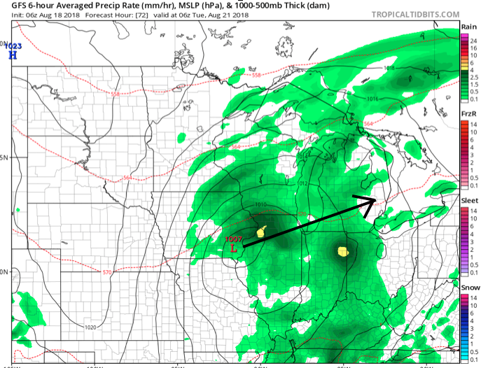
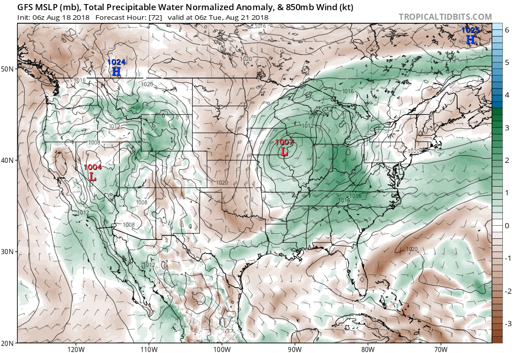 Scattered thunderstorms will return as early as Monday afternoon, but more widespread shower and thunderstorm activity is expected Tuesday. While not a textbook set-up for widespread severe weather by any means, enough ingredients are in place to at least raise an eyebrow for a few severe storms ahead of the cold frontal passage. Don’t be surprised if the ‘marginal’ risk is upgraded to a ‘slight’ risk for Tuesday in future updates from the Storm Prediction Center.
 Once the cold front moves through, a rather abrupt wind shift will drive a much drier and cooler air mass southeast and it’ll feel like early autumn around these parts as we progress through the second half of the work week. Not only will the significant drop in humidity be nice, but some outlying areas away from the city will likely fall into the 40s for overnight lows Thursday and Friday mornings. Highs will only top out in the mid to upper 70s.
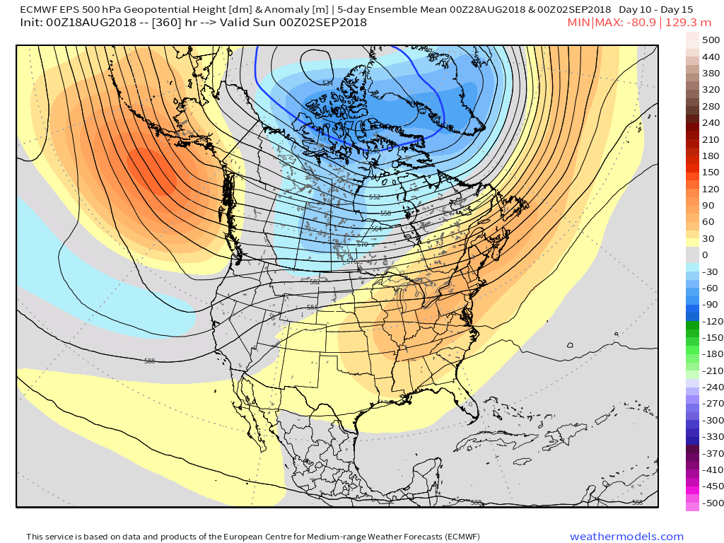
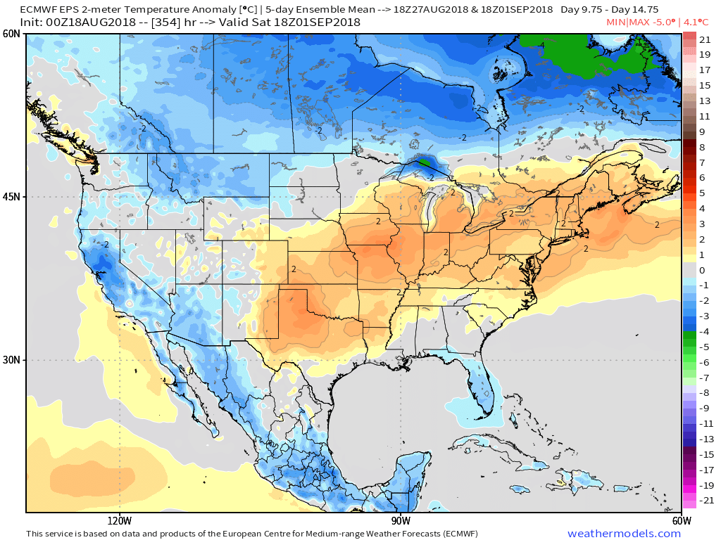
 Looking longer term, summer isn’t finished just yet. Ridging will return for the Labor Day weekend and support building warmth as we put a wrap on August and open September.
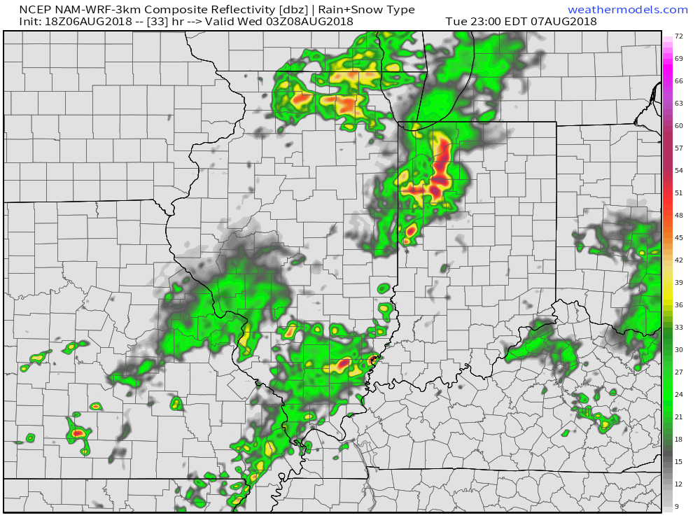
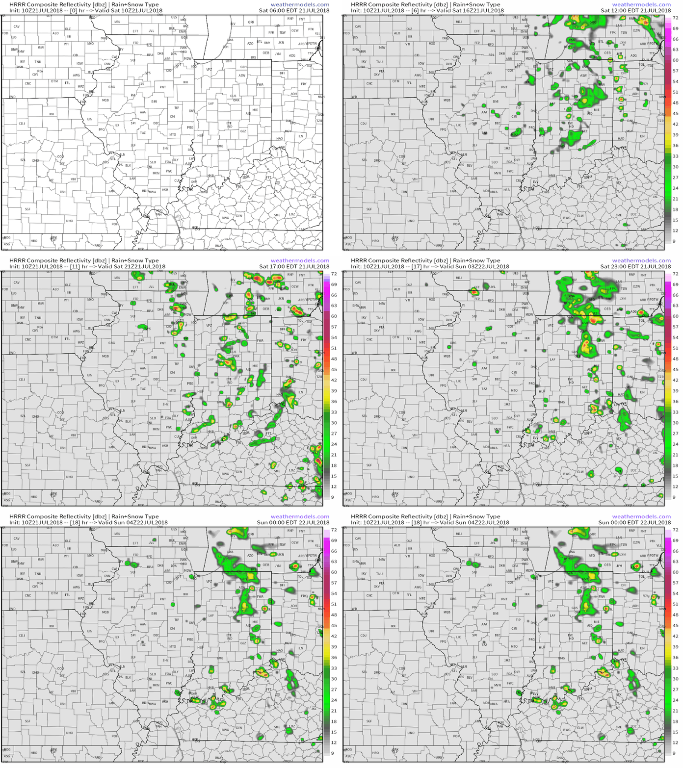
 Some of the storms across the northern third of the state may “pulse” to severe levels this evening, including the potential of large hail and damaging winds. (This complex will weaken as it surges south later tonight).
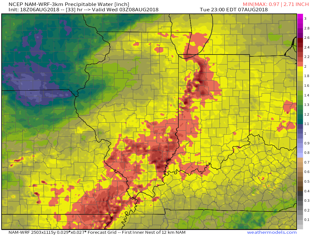
 Eventually, drier times will return by mid-week. Beforehand, most central Indiana rain gauges should receive somewhere between 0.50″ to 1″ of rain. With a rich, tropical airmass in place, there will be some locally heavier totals.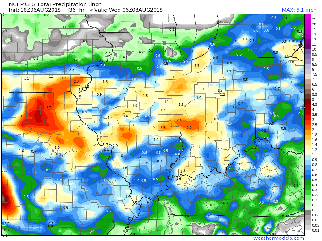
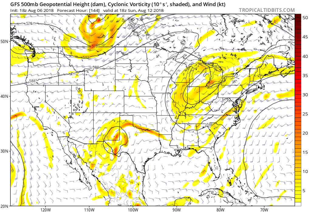
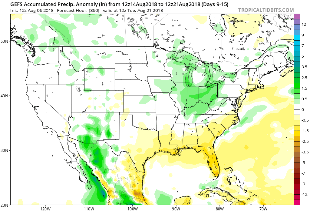
 As we look ahead, our weekend weather will continue to be dominated by a “cut off” area of low pressure. As it meanders around the region, shower and thunderstorm chances will remain. Aerial coverage of rain will reach greatest heights during the afternoon and evening hours today and Sunday. With the colder air aloft, don’t be surprised if a few of the stronger showers produce hail.
 Additionally, highs today will run close to 10° below the average high of the mid-80s.
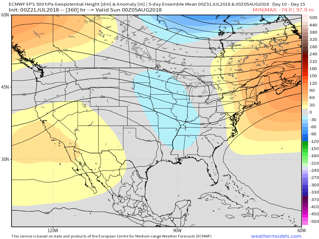
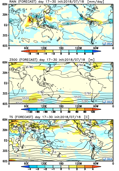
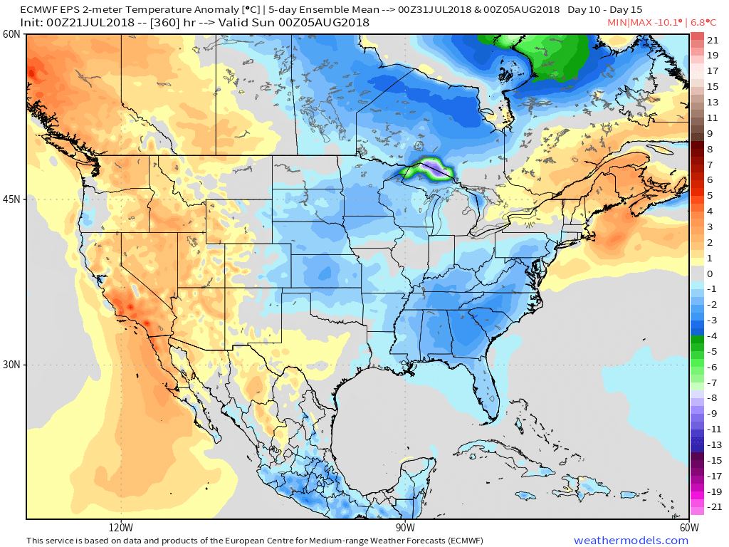 Longer term, the NEW JMA Weeklies suggest the worst of the summer heat is now behind us as they keeps the Weeks 3-4 time period unseasonably refreshing…