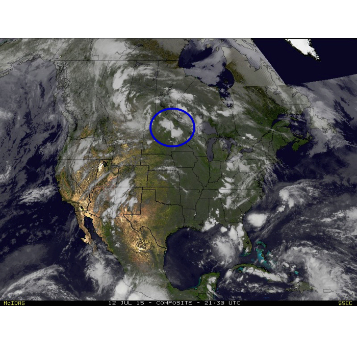
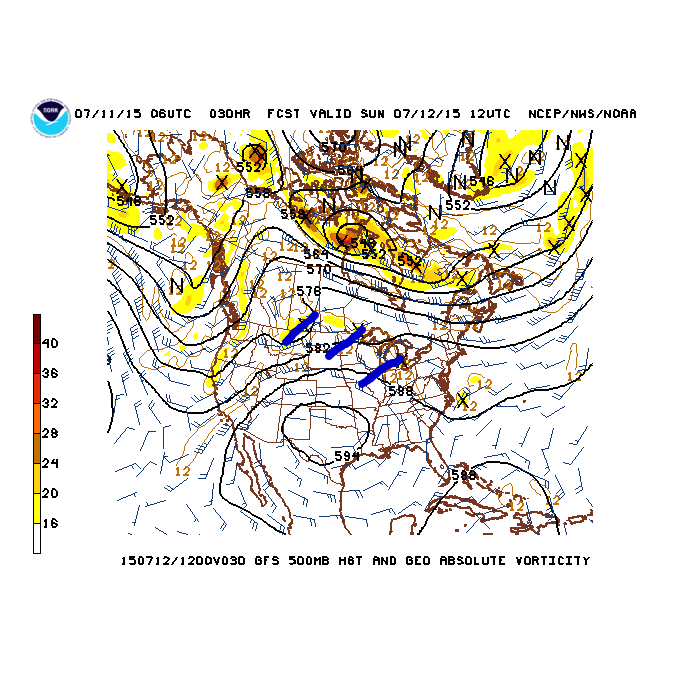
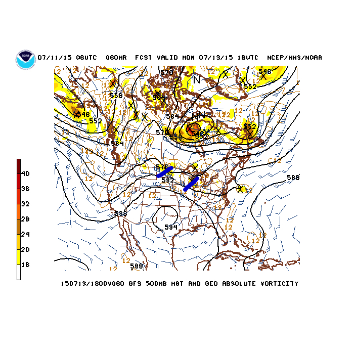
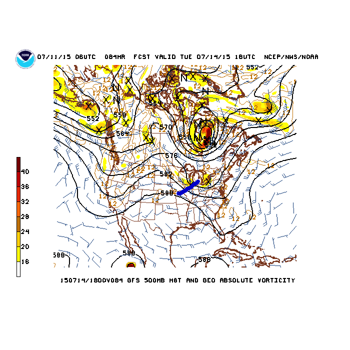
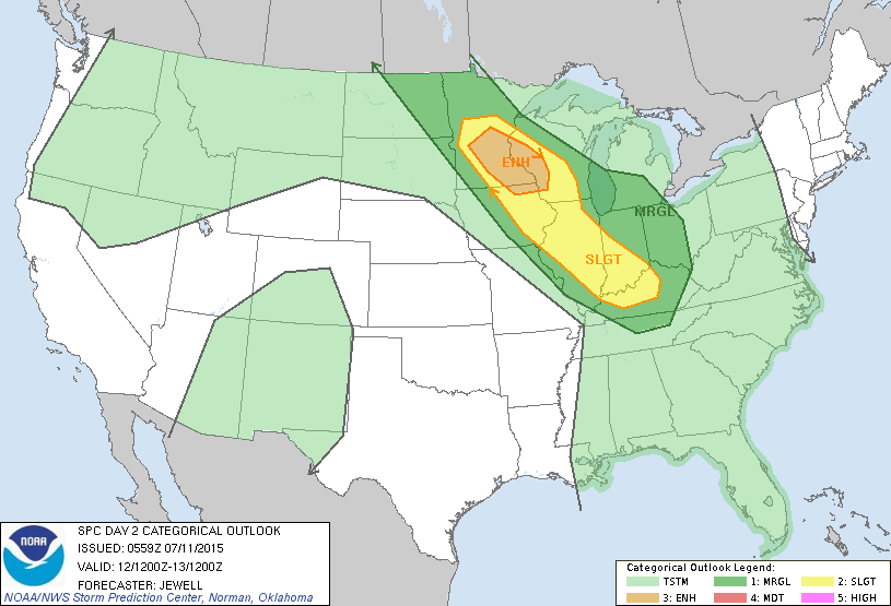
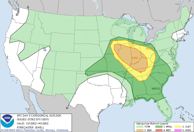
 An update this evening shows severe thunderstorms beginning to ignite over the northern Plains. This is all associated with the first in a series of upper disturbances that will move southeast and provide multiple waves of severe weather around our neck of the woods over the upcoming 24-48 hours.
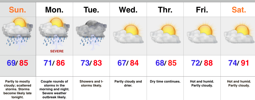
Data this evening really hasn’t changed from what we think will be a potentially dangerous day of severe weather and flooding across central Indiana. It’ll be highly important to remain weather-aware tomorrow and have a means of getting the latest weather information. Please take all warnings seriously. Conditions are highly favorable for numerous damaging wind reports tomorrow and we suggest taking severe thunderstorm warnings as if they were tornado warnings tomorrow because of this.
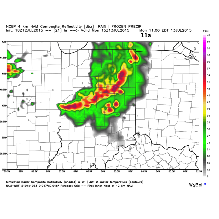
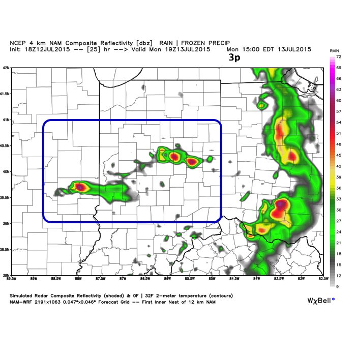
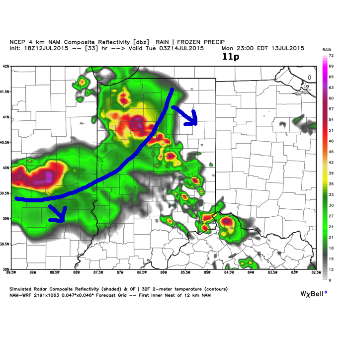
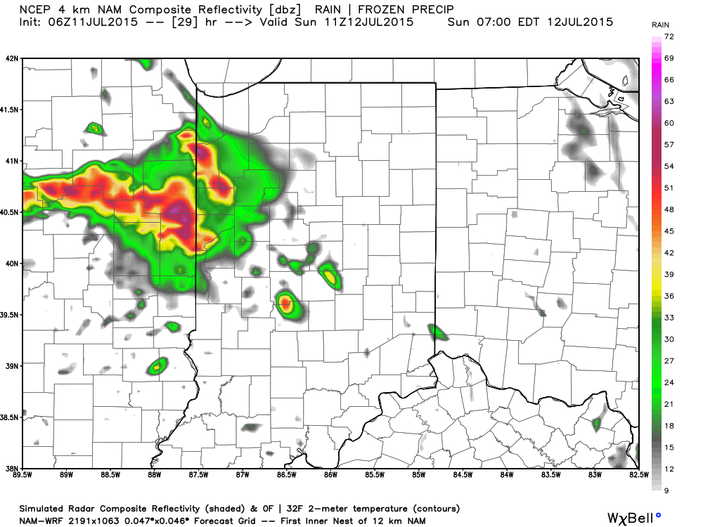
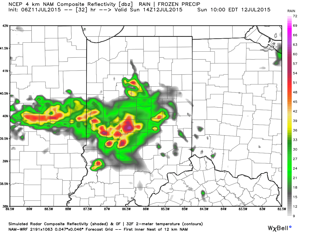
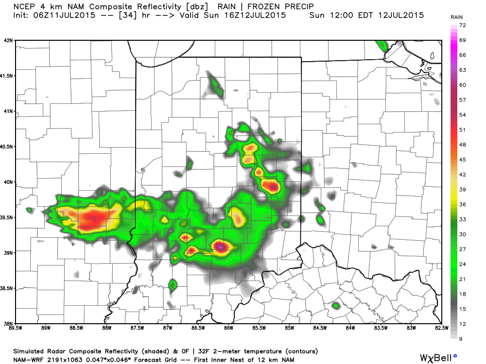
* Please understand that though some of the data below includes time stamps for reference of what the radar may look like that these storm complexes often take a mind of their own and can accelerate off to the southeast sometimes quicker than what modeled radar may project 12+ hours out. Tomorrow will certainly be a nowcast situation, beginning early in the morning.
With that said, we forecast multiple waves of severe weather tomorrow, beginning in the morning. With high PWAT values, or precipitable water values, thunderstorms will be capable of producing torrential rainfall and flash flooding. It should be noted that with precipitable water values of over 2″ tomorrow (photo below) combined with recent saturated soils, flash flooding is a major concern.
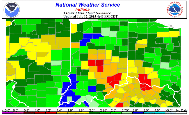
 Speaking of flash flooding, latest data suggests rainfall of only 0.8″-1.5″ within a (3) hr. time period will lead to flash flooding.
 Again, keeping in mind with the disclaimer prior, here’s what the radar may look like late morning, mid afternoon, and tomorrow night.


 In addition to the aforementioned flash flood concerns, we’re also supremely concerned with the potential of damaging straight line winds, particularly with the 3rd complex of storms Monday evening/ night. Earlier in the day, and depending on how the atmosphere “recovers” with the 1st round of storms Monday morning, conditions are favorable for discrete super cells to develop during the mid afternoon (radar image #2 above). While there are questions, early to mid afternoon would be the most likely time frame for potential tornadic activity and large hail.
To close, please ensure you have a means of getting the latest weather information Monday- beginning early in the morning. Go ahead and charge your phones, tablets, and other electronics. We suggest reviewing your severe weather safety plan with your family this evening to provide a peace of mind, and to ensure you and your loved ones are prepared in the event severe weather and flooding develops.

