An active, and at times stormy, pattern will remain into the new week. The setup remains the same and doesn’t need rehashing :-). While we’ll have to keep a close eye on the potential of morning convection around the area Sunday, thinking here is beginning to shift to Sunday night and predawn Monday as the next best chance of gusty storms and more widespread coverage of beneficial rain. A warm and muggy air mass will be in place and as vigorous upper level energy interacts with the tropical air, thunderstorms that initiate to our northwest should hold together, if not grow stronger moving into central Indiana.
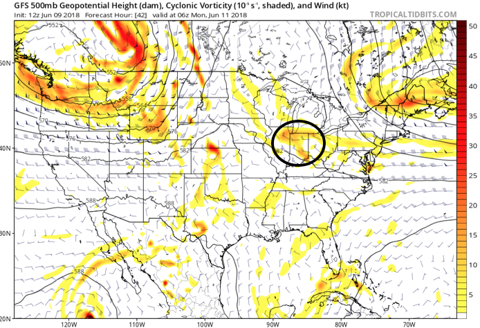
Upper level energy will track across the state Sunday night and Monday morning.

Dew points are forecast to surge into the lower 70s Sunday night.
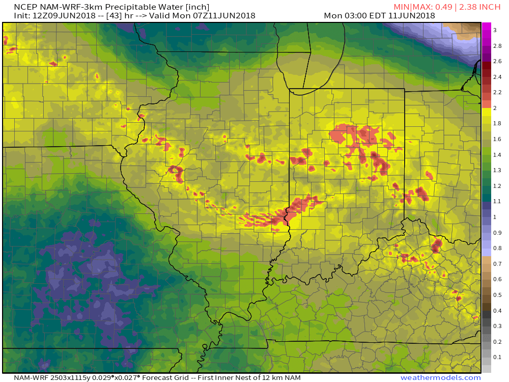
Precipitable water values will approach 2″ Sunday night and early Monday morning.

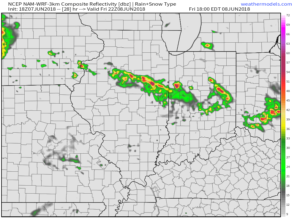
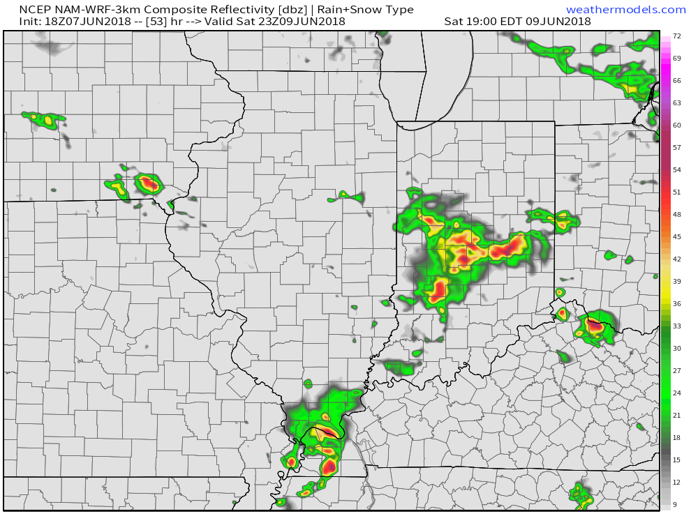
Forecast radar is beginning to pick up on potentially a noisy time of things Sunday night.
A warm and sticky air mass will remain in place through the first half of the work week before a frontal passage offers up a brief bout of slightly drier air for the middle of the week. Dew points will ease back into comfy range (50s) Wednesday and should also lead to a mostly dry day.

We’ll get to at least briefly enjoy a drier air mass Wednesday.
Humidity will build once again as we move into the latter portions of the work week and with the return of the summer mugginess will come a return of thunderstorm chances (scattered coverage Thursday and Friday).
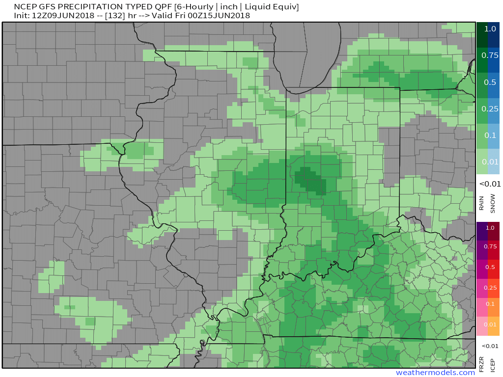 An early look at next weekend shows general agreement with the GFS and European forecast models: drier air returning along with slightly cooler air. We’ll keep you updated!

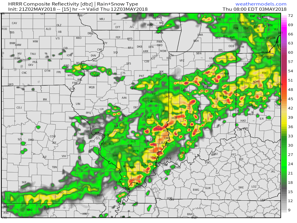
 Eventually these storms should pick up momentum and head off to the southeast later tonight.
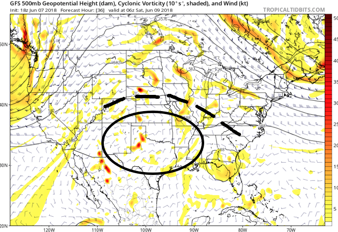 An increasingly muggy air mass will take hold of the region as we close the work week, with dew points approaching 70° at times. The term “air you can wear” comes to mind. As impulses of energy interact with this tropical air mass, thunderstorms will blossom- particularly in the afternoon and evening hours.
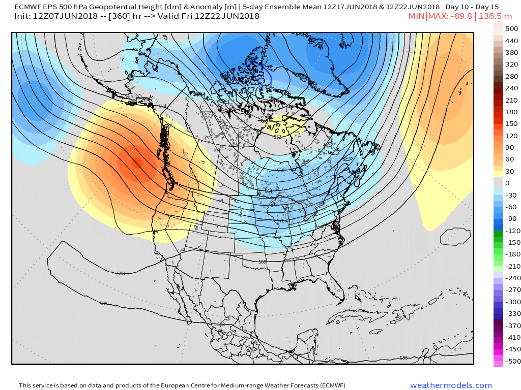
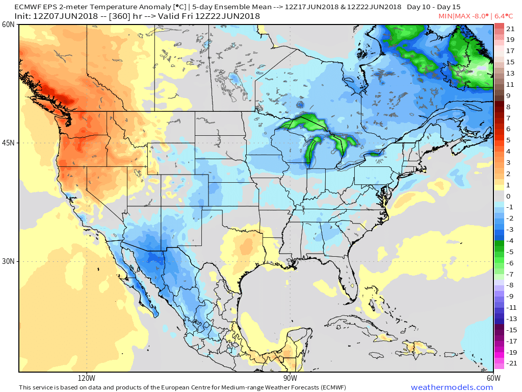
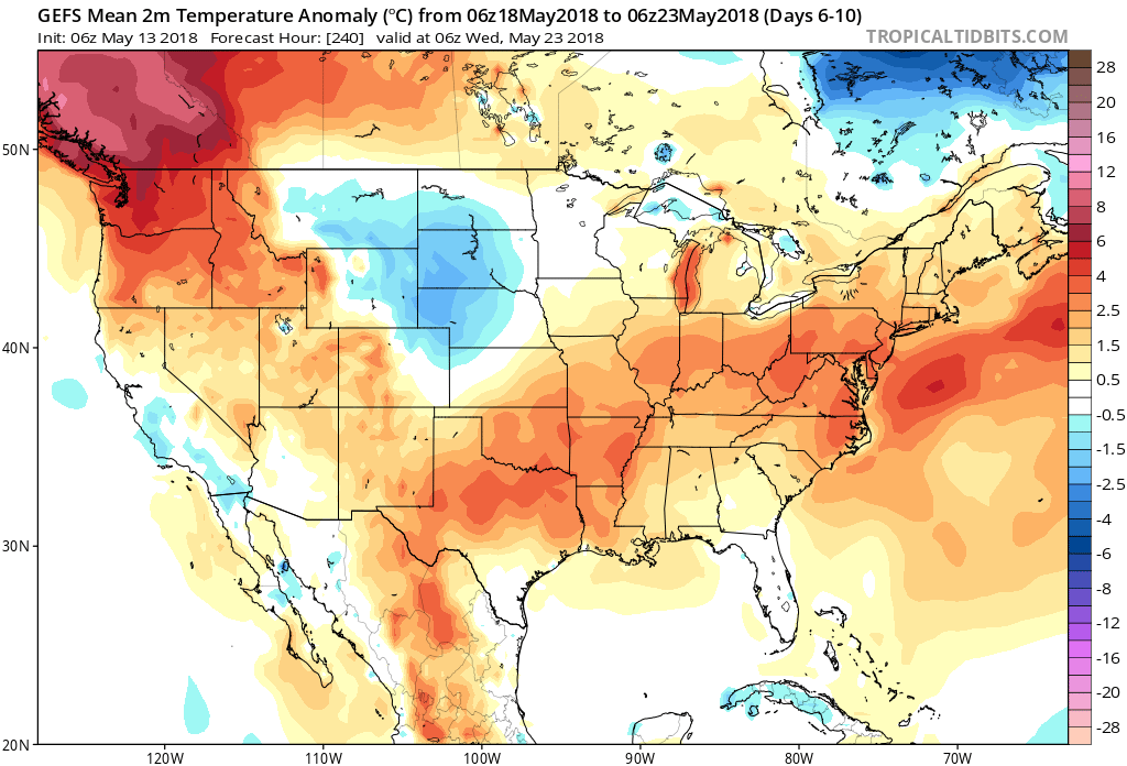
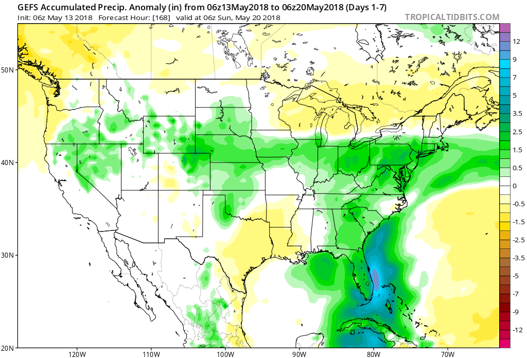
 Looking down the road, a “sticky” summer feel will remain intact through next week, but changes are brewing in the longer range. These changes would support a cooler regime developing just past mid-June (in the 10 to 15 day time frame). While the duration is up for debate, it’ll be nice for at least a few days of cooler air…
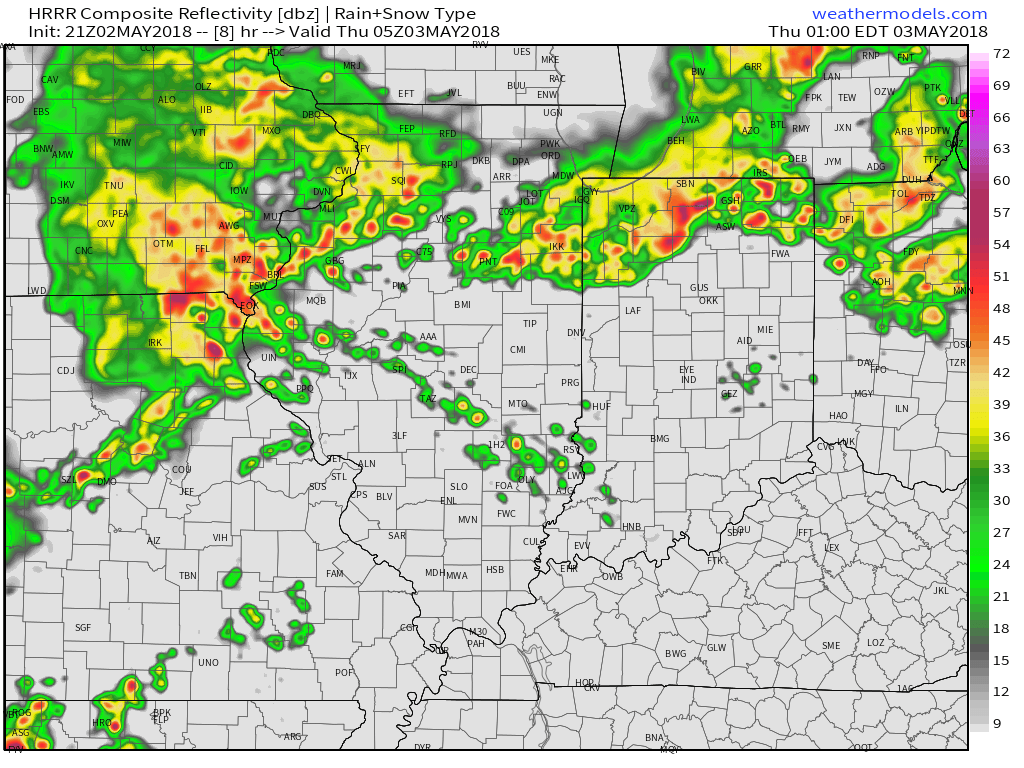
 Upper level energy will push east this afternoon and combine with an unstable air mass, along with unseasonably hot and humid air (highs today will reach the lower 90s across the southern half of the state with dew points around 70°), resulting in explosive thunderstorm development this evening. Storms will rumble east during the nighttime hours before exiting off to the east and diminishing during the early morning hours.
 We target the time frame of 6p to midnight for greatest storm coverage and the possibility of severe weather. While the greatest threat of severe is just south of the city, itself, I think all of central IN is in play for the possibility of strong to severe thunderstorms tonight. In addition to locally heavy rain, stronger storms could pose a damaging straight line wind threat along with large hail.
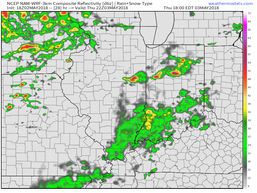
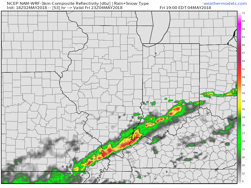
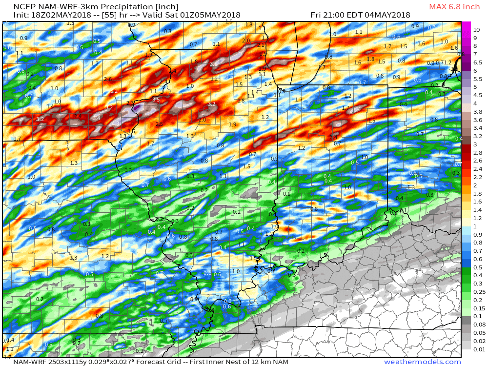 High pressure returns Saturday and will help set up a fantastic weather day. We’ll enjoy an increasingly sunny sky and pleasant temperatures topping out in the middle 70s Saturday afternoon. It’ll be a perfect day for those Cinco de Mayo and Derby festivities!