Nice Today, But A Wet And Raw Weekend Coming…
 Highlights:
- Extended wet and raw stretch of weather
- Turning colder next week
First and foremost, happy Thanksgiving from all of us at IndyWx.com! We hope you have a blessed day with friends and family and we’re incredibly thankful for your support of what we’re doing here at IndyWx!
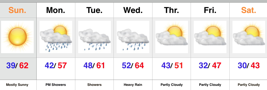
Thanksgiving Day, itself, will be filled with very pleasant weather as a SW flow transports mild air northbound and results in highs around 60 this afternoon with a gusty breeze in place. A scattered shower is possible, but it’s not until we get to late tonight and Black Friday that we expect more widespread rains across the region.
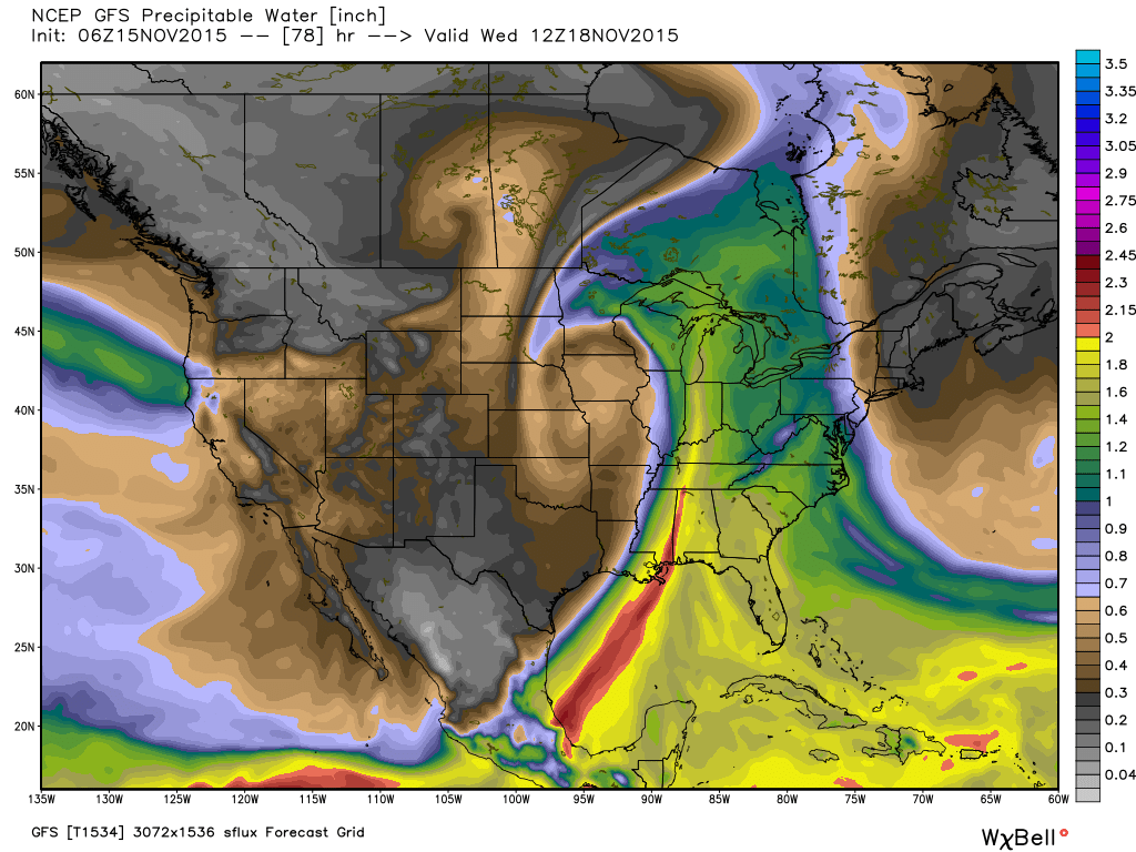
Rain will settle in Friday and temperatures will also go the wrong direction come evening as a cold front passes through the area. This is the first in a series of rain that we’ll deal with over the Thanksgiving weekend. A second surge of rain will arrive Saturday into Sunday, followed by a third push of rain Monday. All total, between 1-2″ of rain is a good bet across a widespread portion of the region between Friday and Monday.
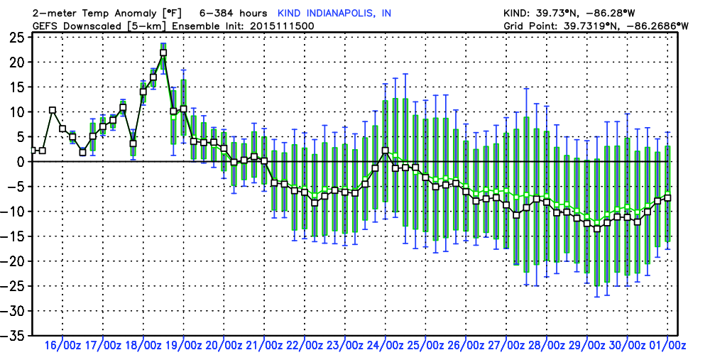
Colder air will settle in by the middle of next week. We’ll have to closely monitor as a fourth system will be in play. It’s far too early for details, but we’ll keep an eye on things to see if some sort of wintry precipitation may be in play late next week…