VIDEO: Timing Out Potential Strong Storms; Prolonged Chilly Pattern On The Horizon…
You must be logged in to view this content. Click Here to become a member of IndyWX.com for full access. Already a member of IndyWx.com All-Access? Log-in here.
You must be logged in to view this content. Click Here to become a member of IndyWX.com for full access. Already a member of IndyWx.com All-Access? Log-in here.
You must be logged in to view this content. Click Here to become a member of IndyWX.com for full access. Already a member of IndyWx.com All-Access? Log-in here.
You must be logged in to view this content. Click Here to become a member of IndyWX.com for full access. Already a member of IndyWx.com All-Access? Log-in here.
Needed moisture missed much of immediate central Indiana Tuesday. Areas south of the city picked up some locally heavy downpours, but the early morning diminishing convection to our northwest helped stabilize things just enough to prevent storms from redeveloping locally.
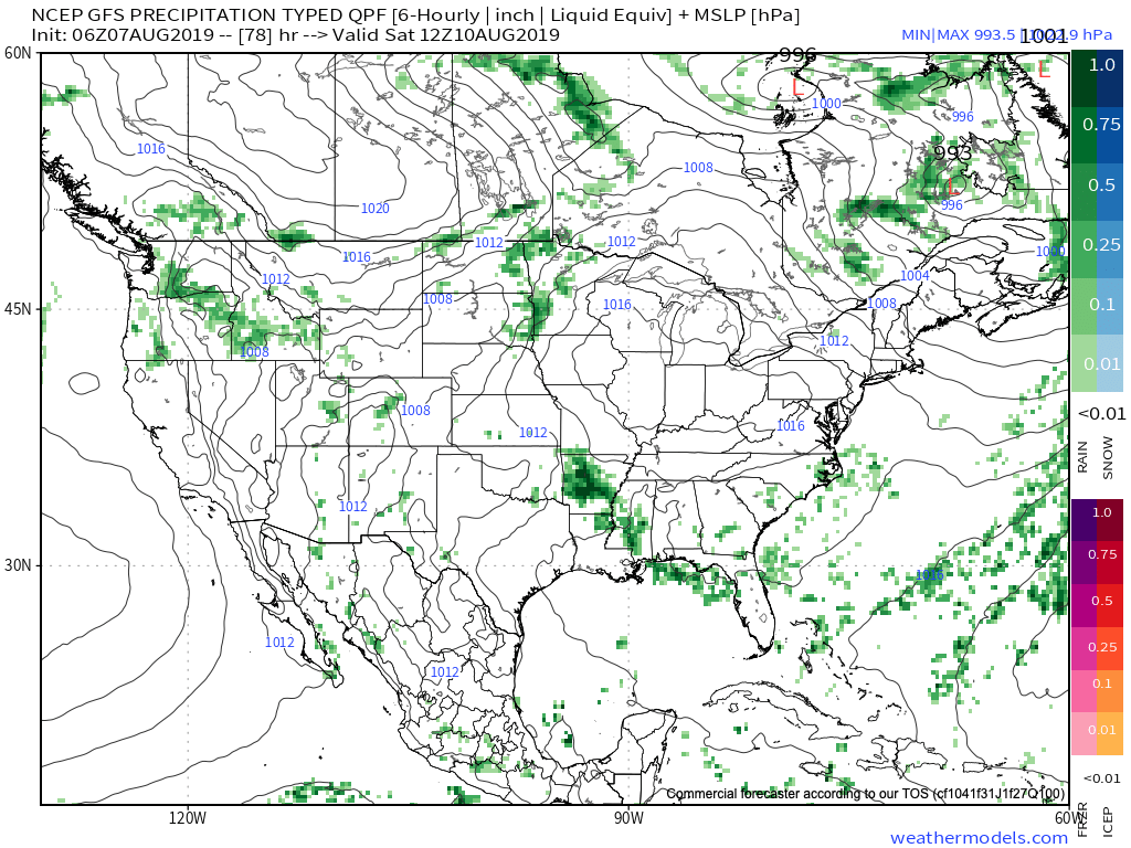
There will be another opportunity for getting some needed rain Thursday, but we caution coverage, yet again, will likely be of the “hit and miss” variety. Given some of the ingredients, a couple of severe cells will be possible ahead of the frontal boundary Thursday afternoon. Best chances of being impacted by a storm Thursday will be across east-central Indiana as a line of storms across Ohio “tails back” into Indiana. Accordingly, the Storm Prediction Center (SPC) does include this part of the state in a Slight Risk of severe weather Thursday.
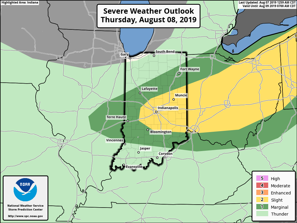
Primary concerns for any stronger thunderstorm that develops will be large hail and straight line winds.
As we look ahead to the weekend, sprawling high pressure is still expected to move overhead and produce plentiful sunshine, low humidity (you’ll notice a big drop in moisture levels Thursday afternoon to Friday morning), and very pleasant temperatures.
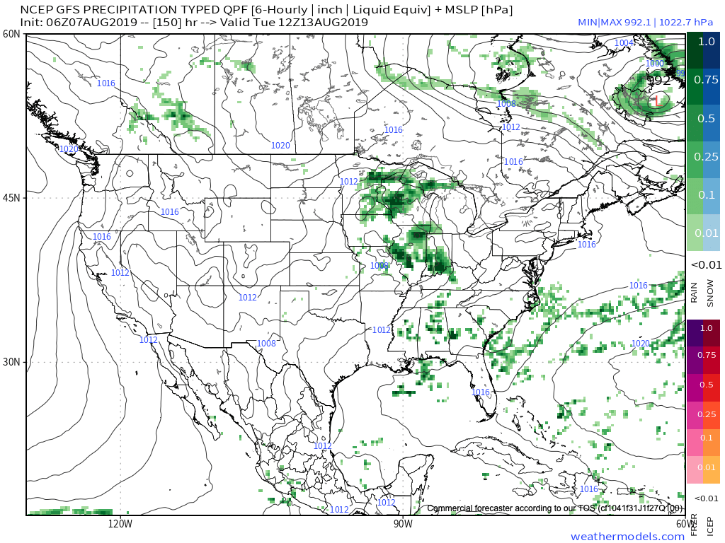
Our next chance of rain and storms will arrive Monday into Tuesday.
More a bit later with the issuance of our Wednesday evening video update! Enjoy your Wednesday!
You must be logged in to view this content. Click Here to become a member of IndyWX.com for full access. Already a member of IndyWx.com All-Access? Log-in here.