Getting To Be That Time Of Year: Major Model Differences Around Tropical Mischief…
A trough of low pressure will continue moving south through the Southeast region (now) and into the northern Gulf (by the early to middle portion of the work week).
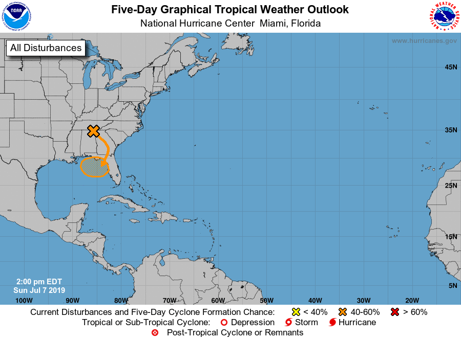
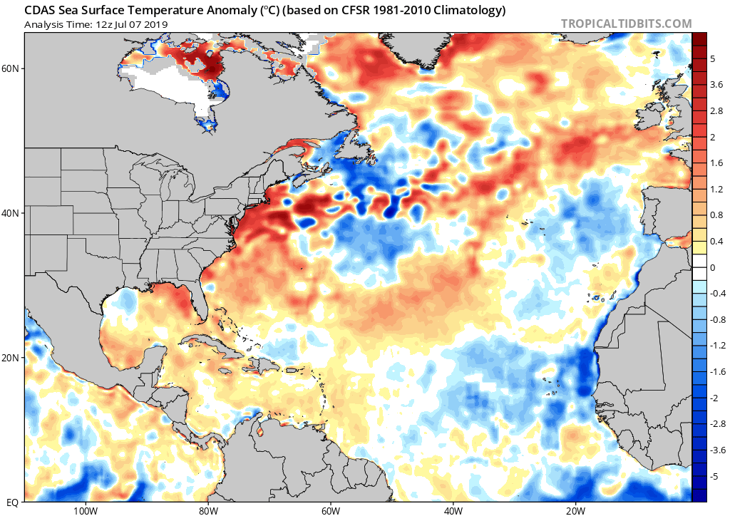
With warmer than average sea surface temperatures across the north-central and northeastern Gulf, along with a favorable upper level wind environment, the potential is present for this disturbed area of weather to strengthen into a tropical depression over the next few days before meandering just off the coastline.
While Gulf Coast beach-goers will need to remain on guard for the threat of more organized unsettled weather during the upcoming period centered on early to mid week, the potential inland impacts are much less certain at this point.
Reviewing the latest midday model guidance shows two different camps:
I. The GFS likes the idea of a heavy inland rain threat impacting the Carolinas (primarily east of the Appalachians) late week and into the weekend.
II. The European forecast model “curls” the area of disturbed weather west. A polar opposite of the GFS solution, the European strengthens the system across the north-central Gulf before bringing potential Barry into LA over the weekend. Thereafter, if this solution proves correct, portions of the OHV (including central Indiana) would deal with rain early next week.
We, obviously, have a long way to go with this set-up, but given the overall upper air pattern we tend to favor more of a GFS solution at this point in time. Needless to say, we’ll keep a very close eye on things over the upcoming few days…