Turning Colder To Close The Work Week…
 Highlights:
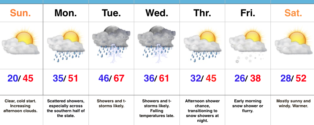
- Showers with falling temperatures today
- Rain and snow showers Thursday
- Cold close to the work week
- Windy weekend warm-up comes with showers
Downward Trend…Showers will increase in coverage this afternoon and evening as temperatures fall into the 40s (this afternoon) and 30s (this evening). Certainly plan to carry the jacket with you to work and school as you’ll need it on the way home this evening.
Our next weather maker will be a fast-moving clipper system that will arrive Thursday afternoon. Gusty showers will blow through central Indiana through the afternoon and evening hours before transitioning to snow showers and embedded heavier squalls (capable of a quick coating where the heavier squalls occur). A dry, but cold close to the work week is ahead with highs Friday only in the middle 30s.
Just as quickly as the cold air hits, it’ll leave this weekend as a windy warm-up develops. A flurry or sprinkle is possible Saturday as the warm front lifts north and then showers will increase in coverage, along with a strengthening southwest wind (gusts of 40 MPH +) Sunday.
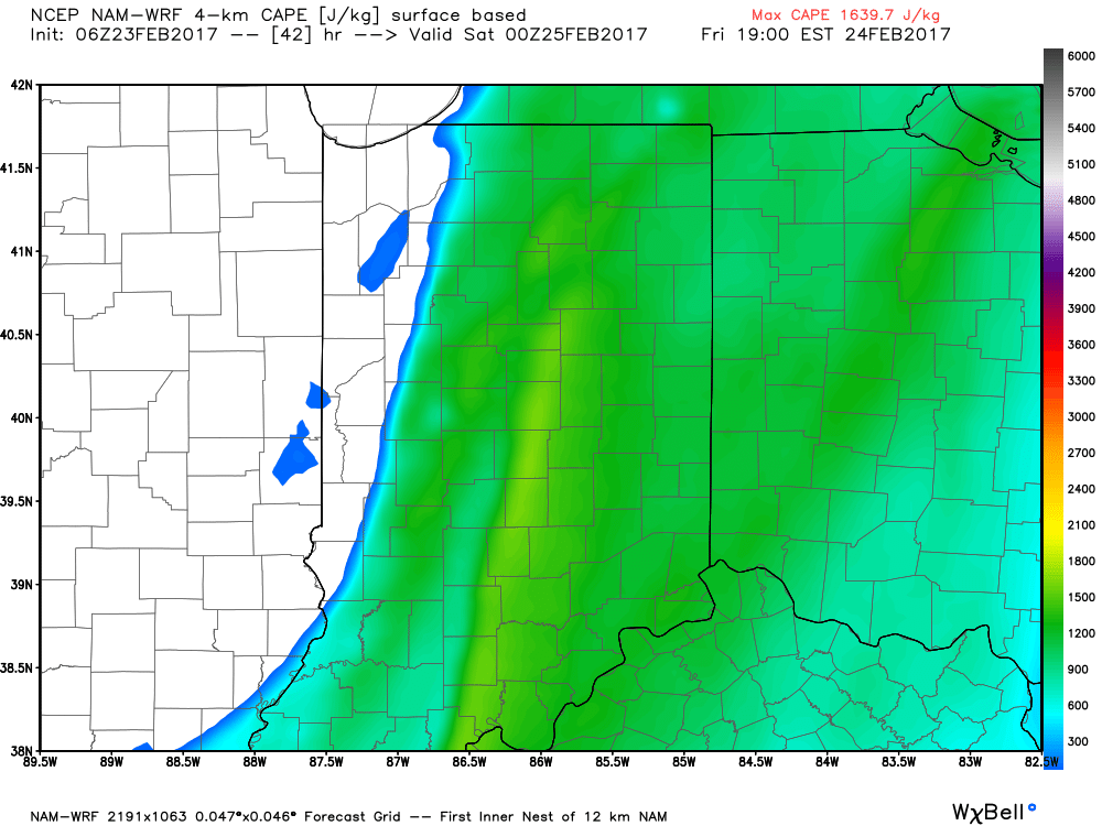
A strong cold front looks to blow through the region Tuesday with showers and thunderstorms a good bet Monday night into Tuesday.
Upcoming 7-Day Precipitation Forecast:
- Snowfall: Dusting
- Rainfall:1.00″-1.50″
 Highlights:
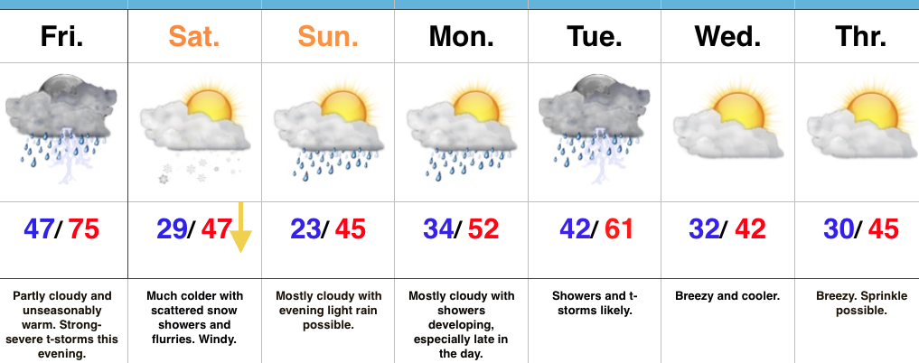 Highlights:
 Summary:
 Threats and Timing:
 Highlights: